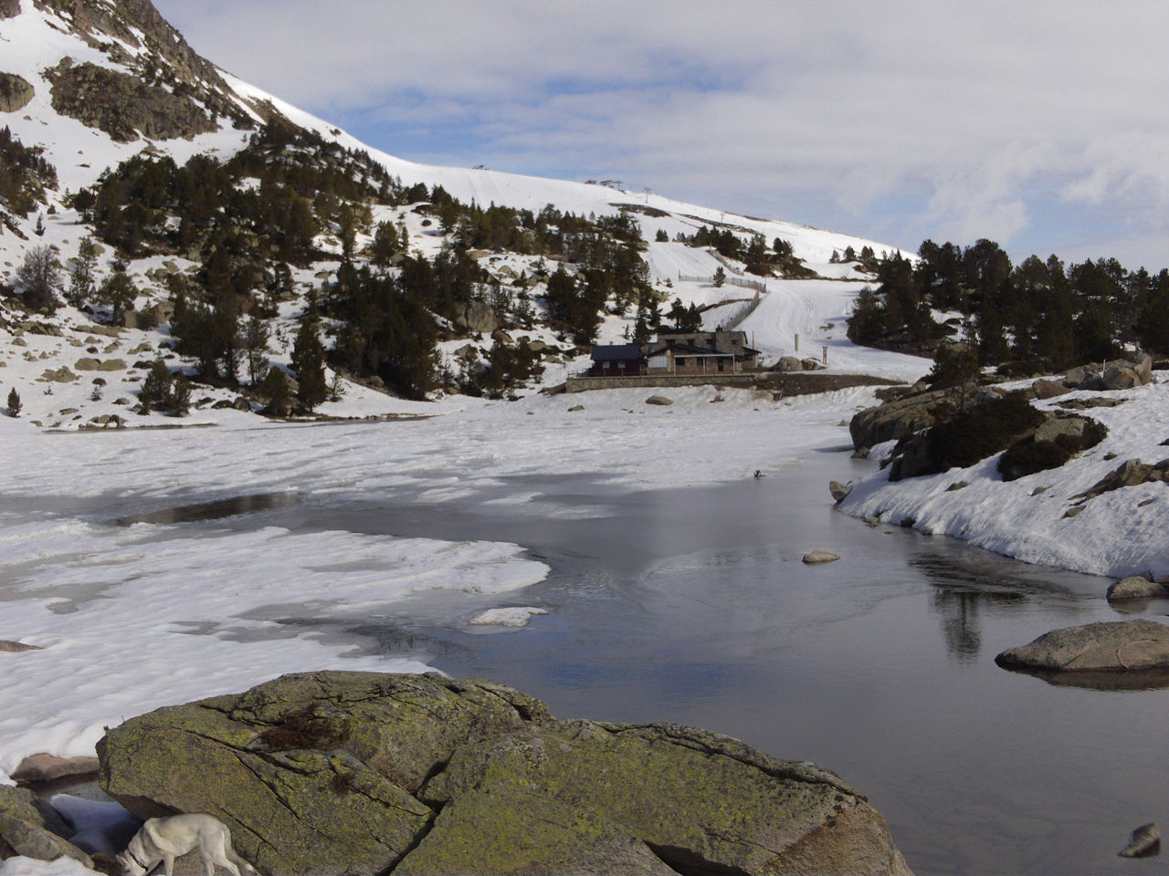
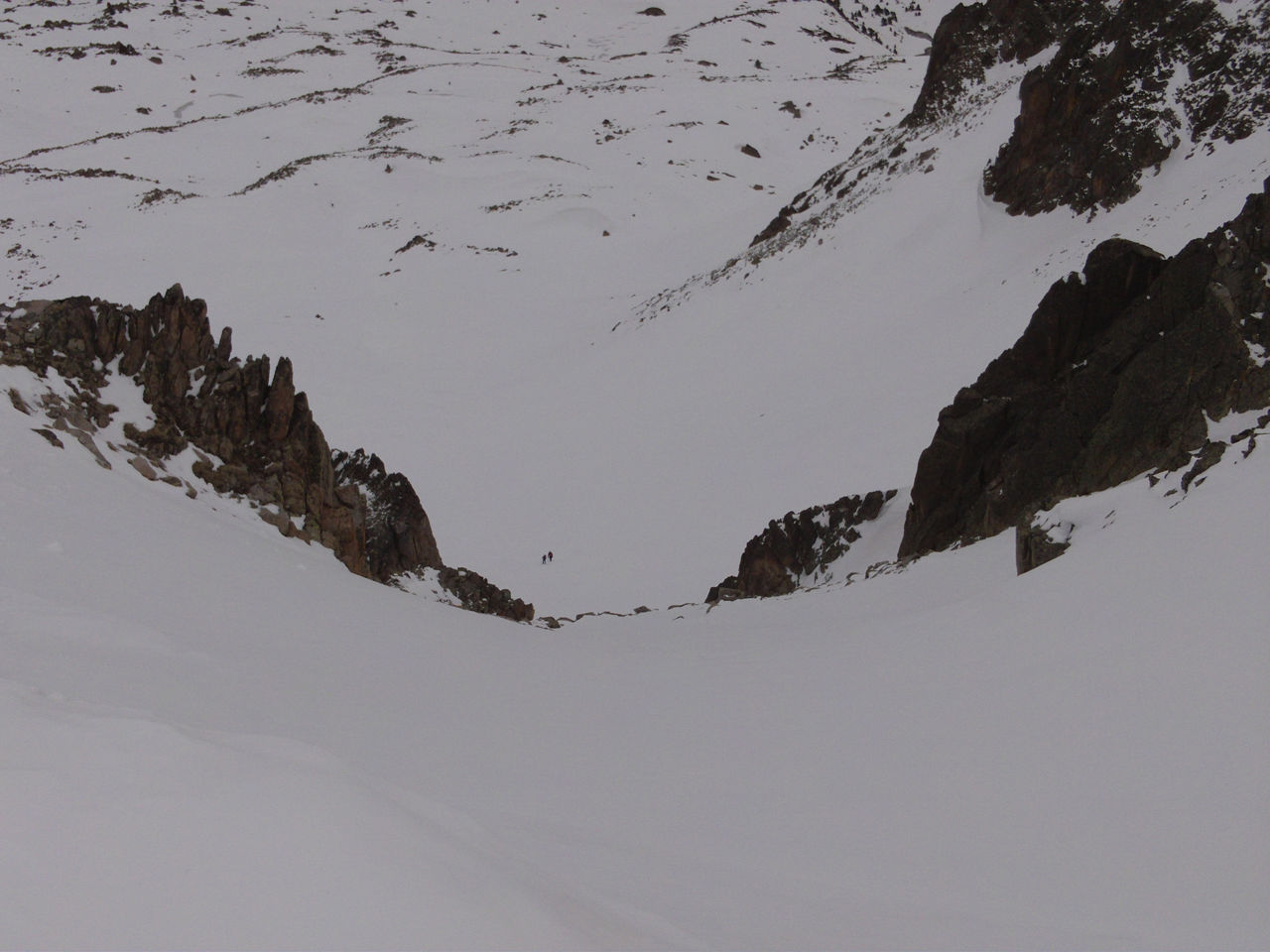
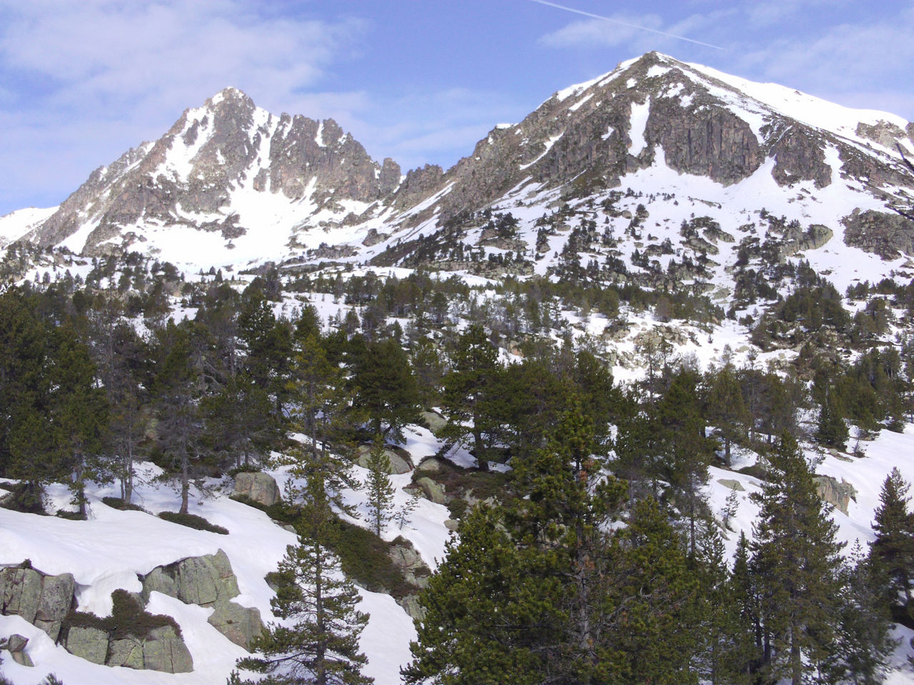
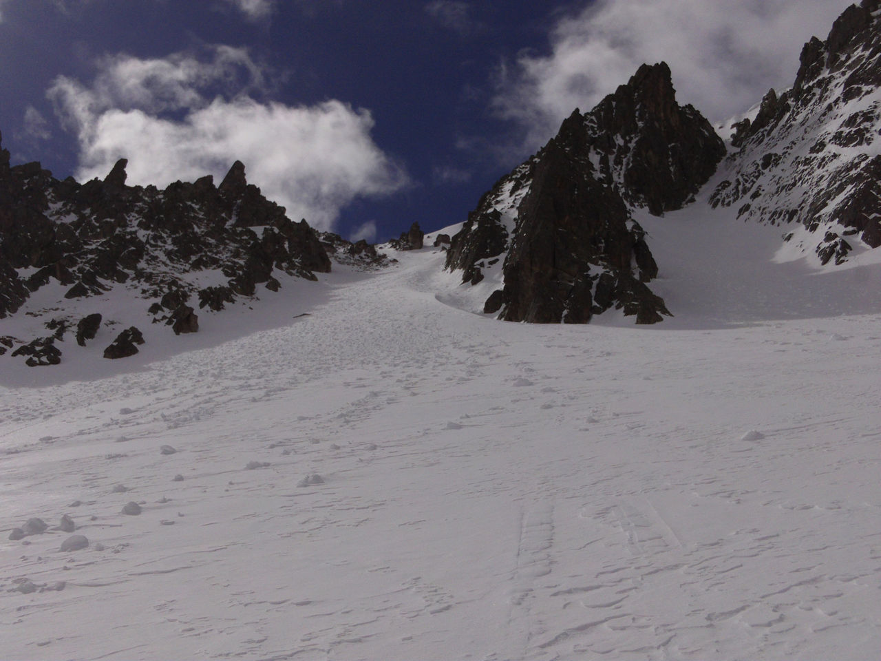
Skimo: Pic de l’Àliga

Location and contact

To find out more

Download track

Distance

10.97 km

Level

Moderate

Height difference

+911 m / -911 m

The ascent is gradual to start with, but soon takes on an alpine character as you reach the foothills of the Pic del Àliga. 

A canal (approx. 100 metres altitude difference) with a gradient of almost 40º takes you closer to the summit. Next follow the crest of the Gargantillar to the Coll de Pessons pass, at which point you will start to descend. The downward route can also be used as an upward route (easier).

STARTING POINT

Follow the CG-2 towards the Port d’Envalira mountain pass. Shortly after the Envalira tunnel roundabout, turn right towards the Grau Roig ski resort (CS-280). Once at the resort car park, keep to the right and leave the main parking site behind to get out at El Cubil car park. The route begins to the left of the car park access bridge (wooden sign).

Route time: +/- 4 hr

Find more cross-country ski routes and enjoy your favourite sport for longer.

Photos

DOWNLOAD ACTIVE TOURISM

DOWNLOAD ACTIVE TOURISM

Discover a wealth of outdoor routes, with offline maps and detailed GPS tracking. Plan your mountain activities now!
DOWNLOAD ACTIVE TOURISM