
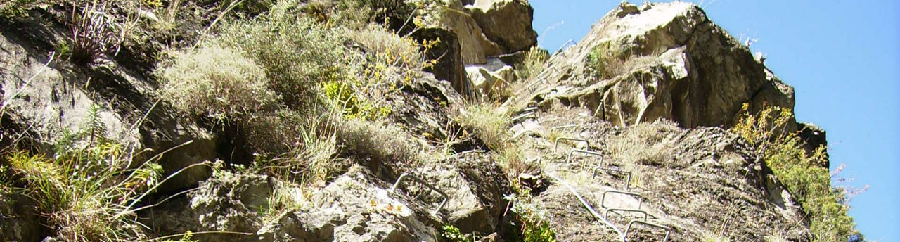
The Tossal Gran d’Aixovall iron way
Useful information
- Difficulty level: Easy
- Elevation gain: +40 m / -40 m
- Distance: 150 m
- Duration: 0-3 Hours
- Stages: 1
- Route type: Via ferrata
Location
Distance:
150 m
Duration:
0-3 Hours
Elevation gain:
Elevation gain:
+40 m / -40 m
Difficulty level:
Easy