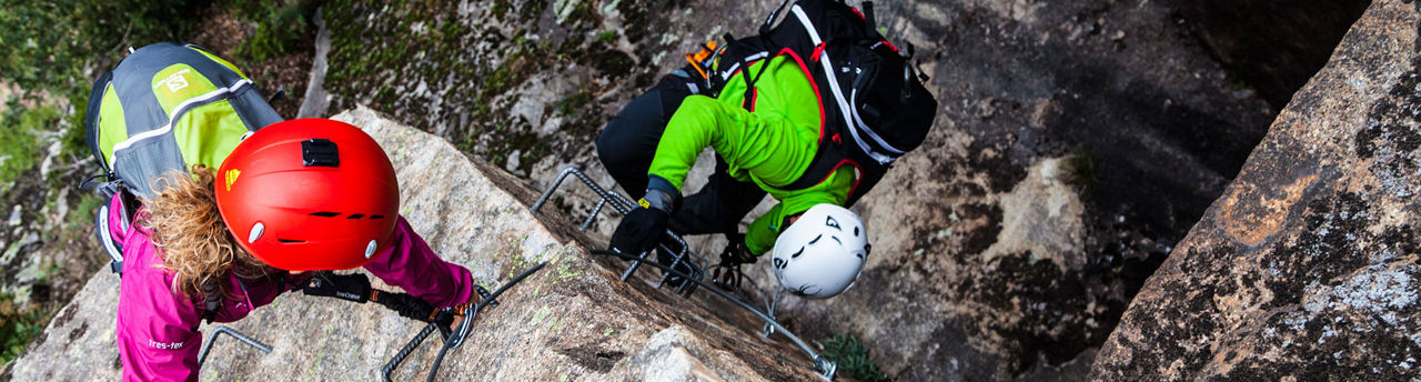
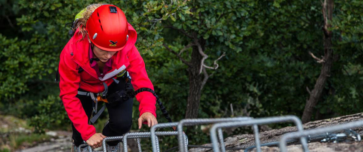
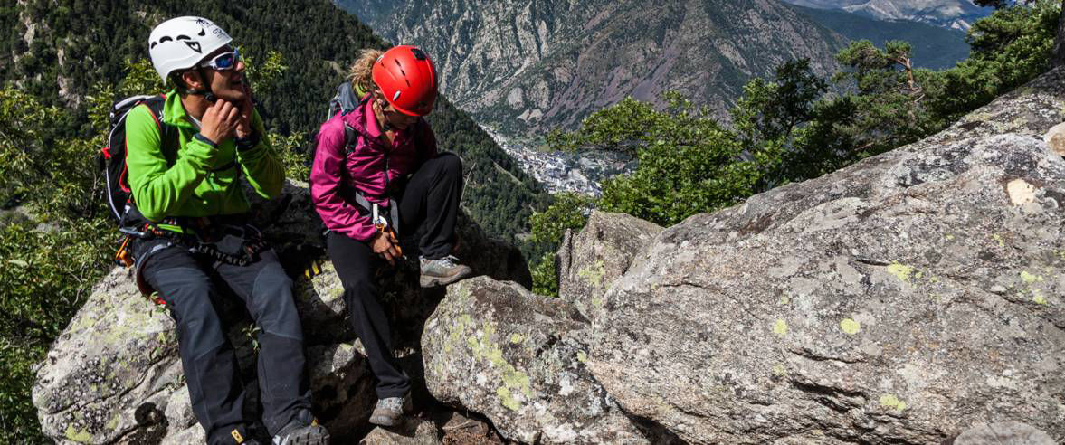
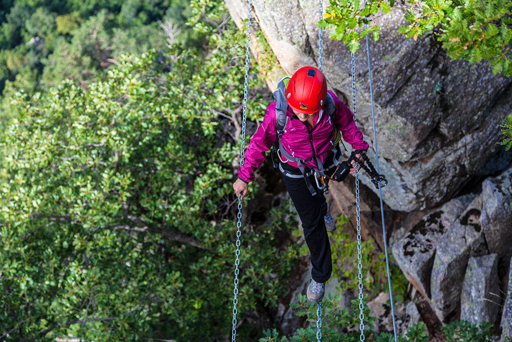
The Roc d’Esquers iron way
Useful information
- Difficulty level: Moderate
- Elevation gain: +250 m / -250 m
- Distance: 350 m
- Duration: 3-6 Hours
- Stages: 1
- Route type:
Location
Distance:
350 m
Duration:
3-6 Hours
Elevation gain:
Elevation gain:
+250 m / -250 m
Difficulty level:
Moderate