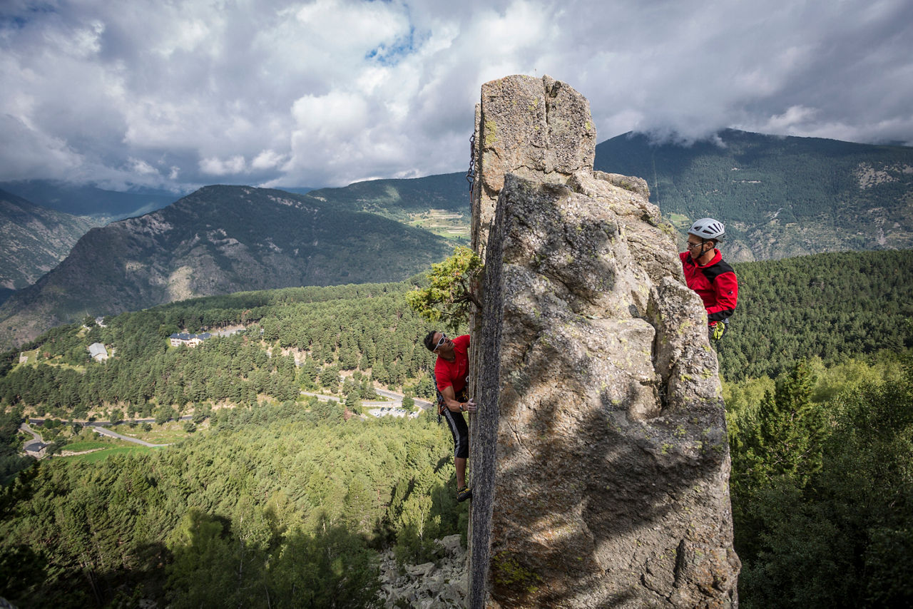
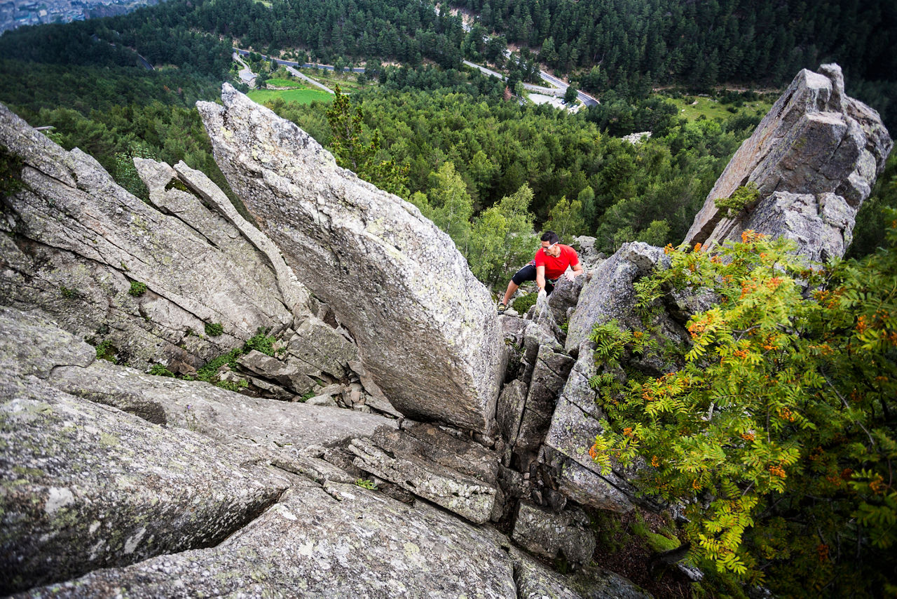
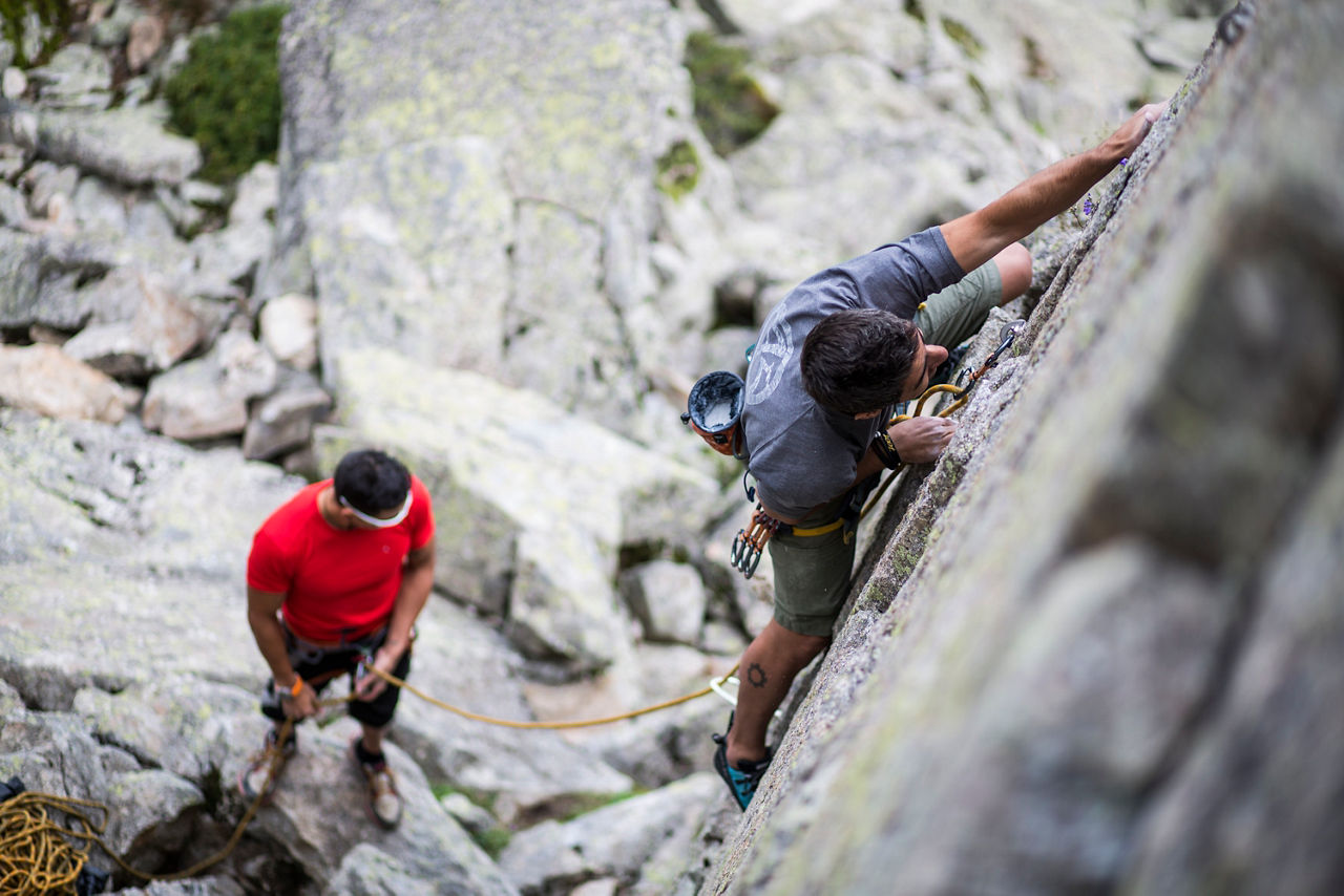
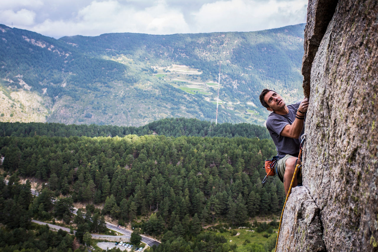
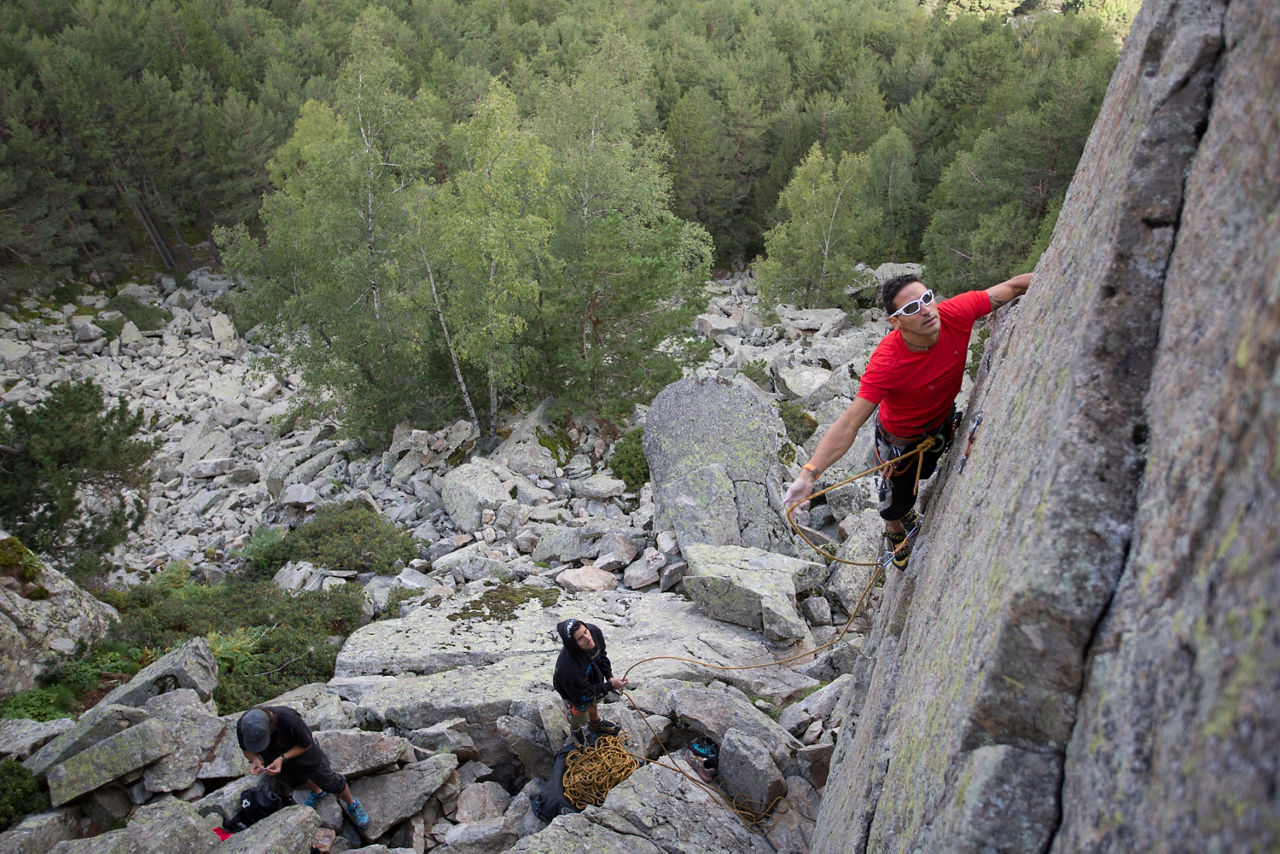
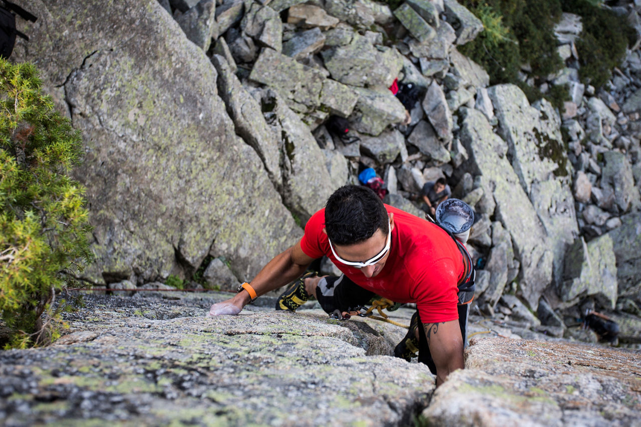
The Agulles d’Engolasters climbing area

Location and contact

To find out more

Download guide in pdf Download track

Distance

454 m

Level

Moderate

It has 17 climbing routes and its difficulty ranges from 4 to 6b+ (medium). These are granite "needles" with heights of 15 - 30 metres and anchorings. They are at alt. 1,740 metres and face north and east, giving marvellous views of the valley of Andorra. The approach is from Escaldes-Engordany, on the road to Engolasters until Km 6.3 (there is an information hut), where the vehicle can be parked. We continue on foot along the path to the left for about 15 minutes.

The start of the route on the road to Engolasters is at GPS point: 42° 31' 03",01° 34' 16".

Find more climbing routes and enjoy your favourite sport for longer.

Photos

DOWNLOAD ACTIVE TOURISM

DOWNLOAD ACTIVE TOURISM

Discover a wealth of outdoor routes, with offline maps and detailed GPS tracking. Plan your mountain activities now!
DOWNLOAD ACTIVE TOURISM