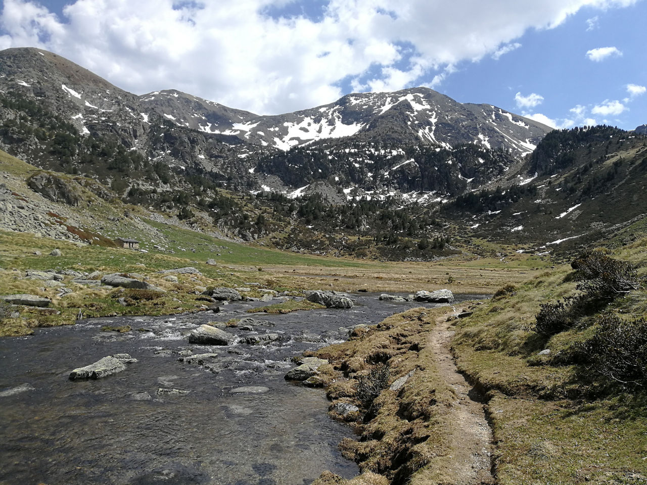
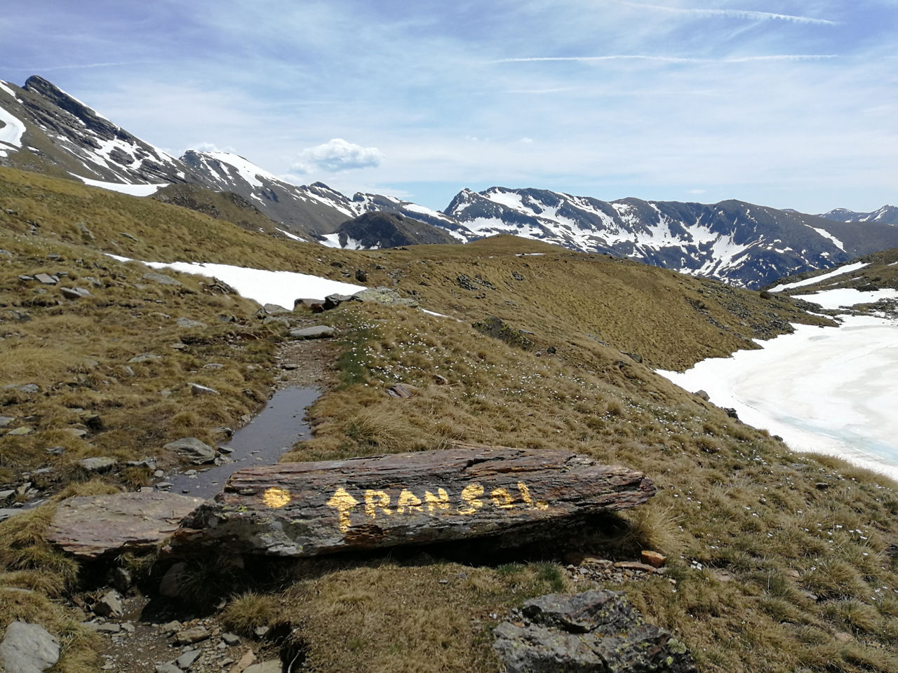
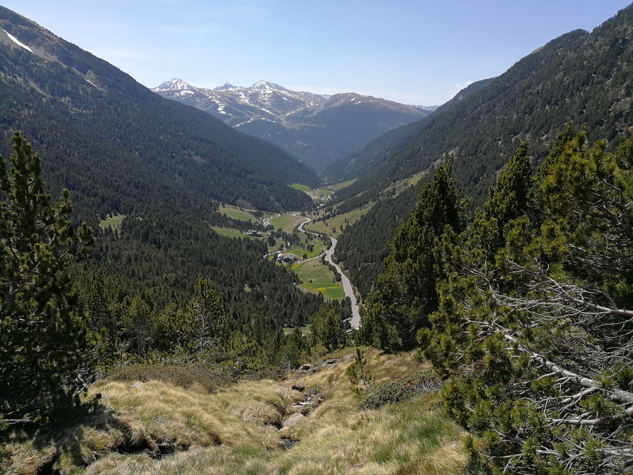
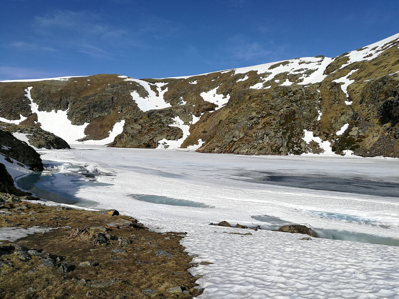
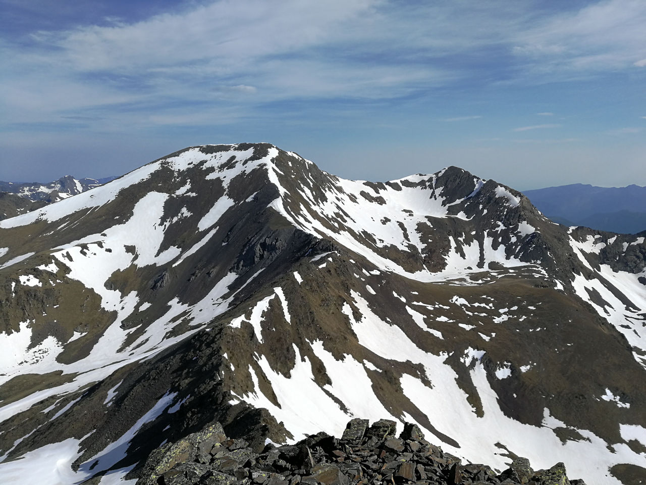
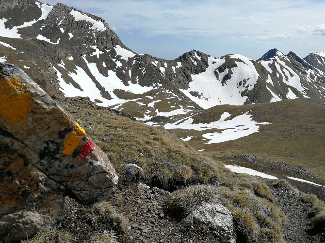
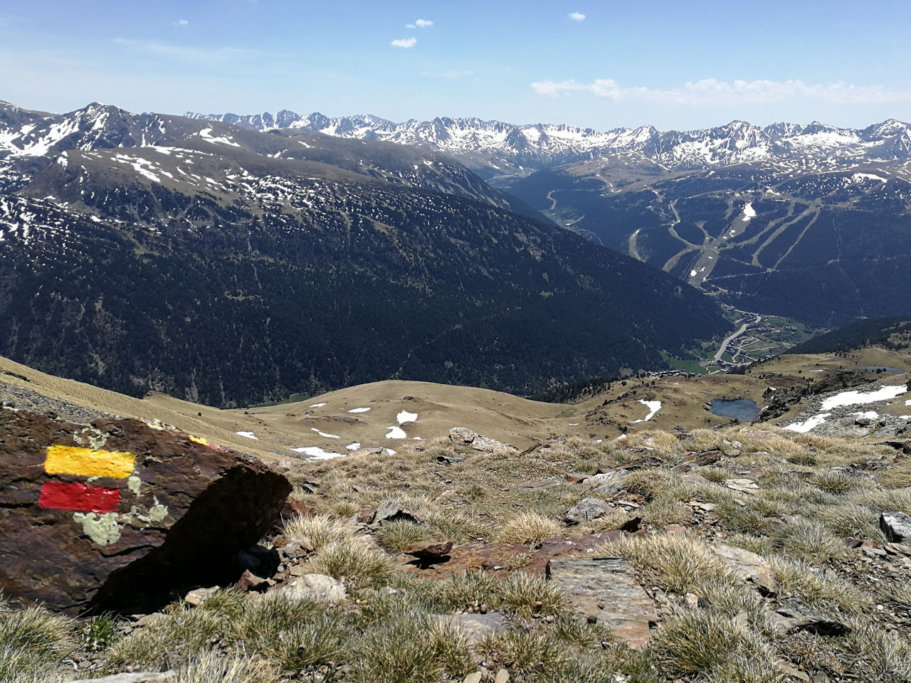
Recreation Trail: Pic de la Cabaneta long distance route

Location and contact

To find out more

Download track

Distance

37 km

Level

Very difficult

Route with technical sections, especially the descent of Pic de la Cabaneta, very steep, which can be under snow into the summer. The use of crampons is recommended if you are in any doubt, or after heavy winter snow. The technical sections make this a slow route.

The route starts in the car park in Gran Valira at El Tarter. Turn left, and you soon join the Ransol road, follow it to Els Plans, about 2 km. Leave the metalled road and join the track that gradually takes you through the woods to the Refuge at Vall del Riu, one of the many free refuges maintained by the government of Andorra round the country.

At the refuge, you pick up the path which climbs to your right. Skirt a rocky outcrop and then climb through scree to the first lake, a taster for the spectacle of the Estany Gran de la Vall del Riu, which will still be frozen if you are there before July. At the lake, turn right and continue to climb up to the high lakes, just below the peaks, which stretch almost as far as Collada de l’Estranyó, where you turn right to summit Pic de la Cabaneta, the highest point on the route.

From the summit, go back on yourself a few metres to find the track, with yellow dots, which provides a steep descent to Collada de Meners, after following the ridge through the whole section. Remember that the descent is on scree and very steep and that well into July it can be snowy: be sure to find the best line down between the rocks.

At Collada de Meners, find the red and yellow markers for the GRP and turn right to descend comfortably the Vall de Ransol, down to the refreshment stop. You now begin to climb gently again and after passing in front of the Refuge of Coms de Jan, you will reach Collada de les Basses de les Salamandres, from where you descend rapidly to the Refuge of Cabana Sorda, in a spectacular spot, at the foot of Estany de Cabana Sorda. From the refuge, descend to Valls d’Incles, where you briefly join the road to rest your legs and reach the foot of the last climb, along a very smooth path up to the Refuge of Siscaró, Estanys de Siscaró and Port Dret, from where you can see Soldeu at the end of the valley.

Begin to descend on a comfortable path, following the path's yellow markers to the road at the entrance to the village. The last section is on made road, but using the pavement, which will take you down a quick descent back to the starting point for the route.

WATER: Ransol, Font del Poble km 1, Els Plans km 2, Refugi Vall de Riu km 6, Berenador de la Coma de Ransol km 15.5, Refugi Coms de Jan km 17, Refugi Cabana Sorda km 22, Refugi Sisteró km 27. Along the route you will find a lot of rivers and lakes where you can take refreshment.

CLOSE
Read more

Photos

DOWNLOAD ACTIVE TOURISM

DOWNLOAD ACTIVE TOURISM

Discover a wealth of outdoor routes, with offline maps and detailed GPS tracking. Plan your mountain activities now!
DOWNLOAD ACTIVE TOURISM