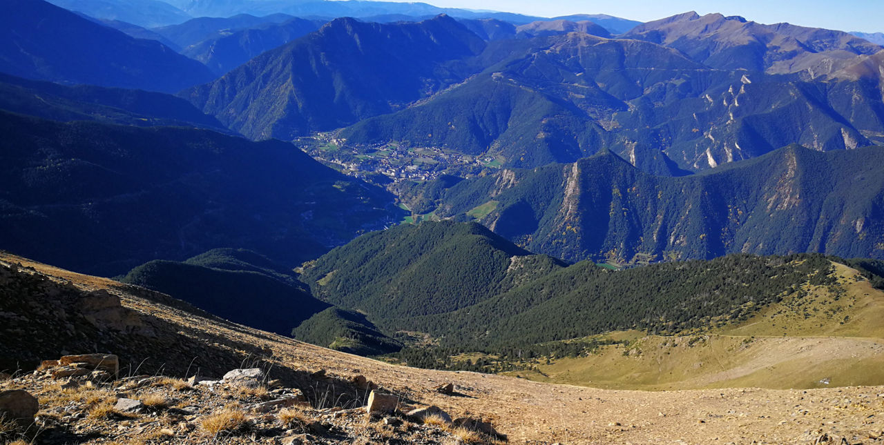
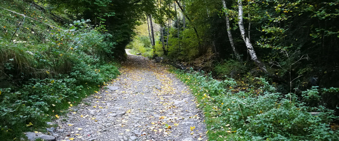
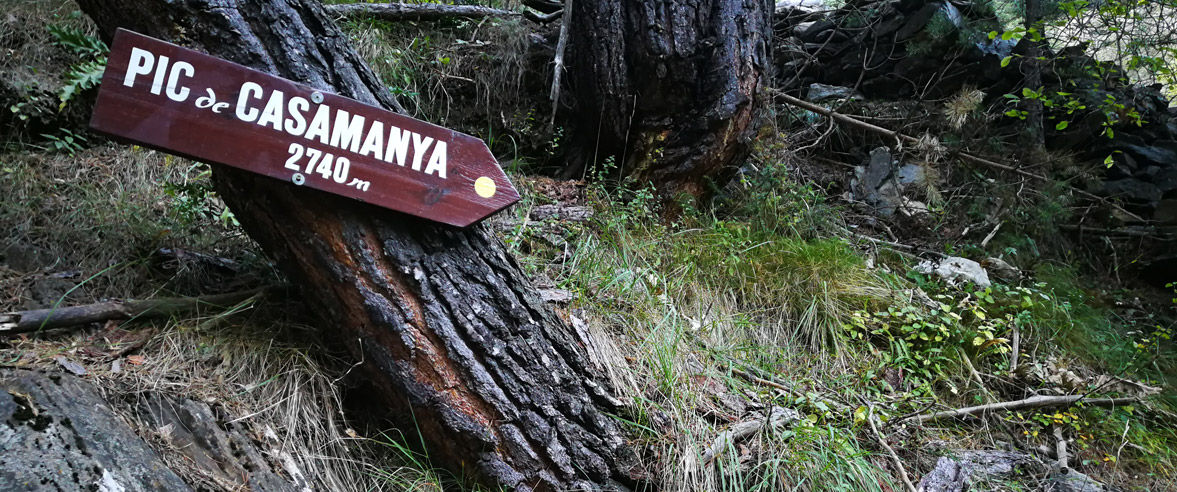
Recreation Trail: Ordino vertical route

Location and contact

To find out more

Download track

Distance

5,5 km

Level

Easy

From the summit we will have magnificent views of much of the country, and of all the rise we have made, with the town of Ordino at our feet.

We will begin the route in front of the Ordino Commune, asphalted in the direction of Segudet. We will leave the asphalt behind and we will take a first meters for a wide track, following the directions of Via Ferrada, to quickly enter the trail and begin to climb more intensely after crossing the Segudet River, following the yellow signs.

After a short stretch of forest track, we will go back to a trail, with a slope that will gradually increase, always in the woods.

Once we have passed the level 2100, we will leave behind the forest of Casamanya and we will open before us the vision of the last shovel that we will have to overcome, approximately 600m of altitude, first grass pasture, where we will look for the best points where Place your feet, and with the view of the trencadís of the high part, so we will carry out the last 150m of altitude, avoiding the decomposed sections of land and looking for the sectors with more stones, until reaching a small collar, where, turning to the left, we will already see the great landmark that crowns the culminating point and where we will arrive without difficulty.

The descent can be done in the direction of Coll d'Ordino, on the classic climbing path, and from this point we will follow the GR in descent to return to the starting point.

WATER: Ordino / If we go down the Coll d'Ordino route, we will find a fountain 4 km from the village.

Photos

DOWNLOAD ACTIVE TOURISM

DOWNLOAD ACTIVE TOURISM

Discover a wealth of outdoor routes, with offline maps and detailed GPS tracking. Plan your mountain activities now!
DOWNLOAD ACTIVE TOURISM