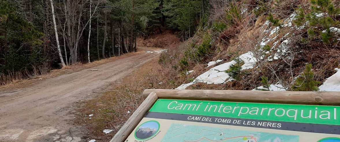
We will start the route from Plaça de les Fontetes, in the centre of La Massana, following the track down to the lowest part of town and continue along Camí de les Gravades, which leads us to l’Aldosa. Once on the CS-335 road, we will head to the right in the direction of Anyós, where we will start the first part of the ascent to Coll de Beixalís (CS-310). At km 3, we will turn and continue along a forest track that avoids some stretches of road. This track connects with the CS-310 again for 500 metres to continue in the forest through the area of Els Oriosos and Cortals d’Anyós, with good views over the western slope of Andorra. It features peaks such as Carroi, Cubil de Pal and Comapedrosa, among others.
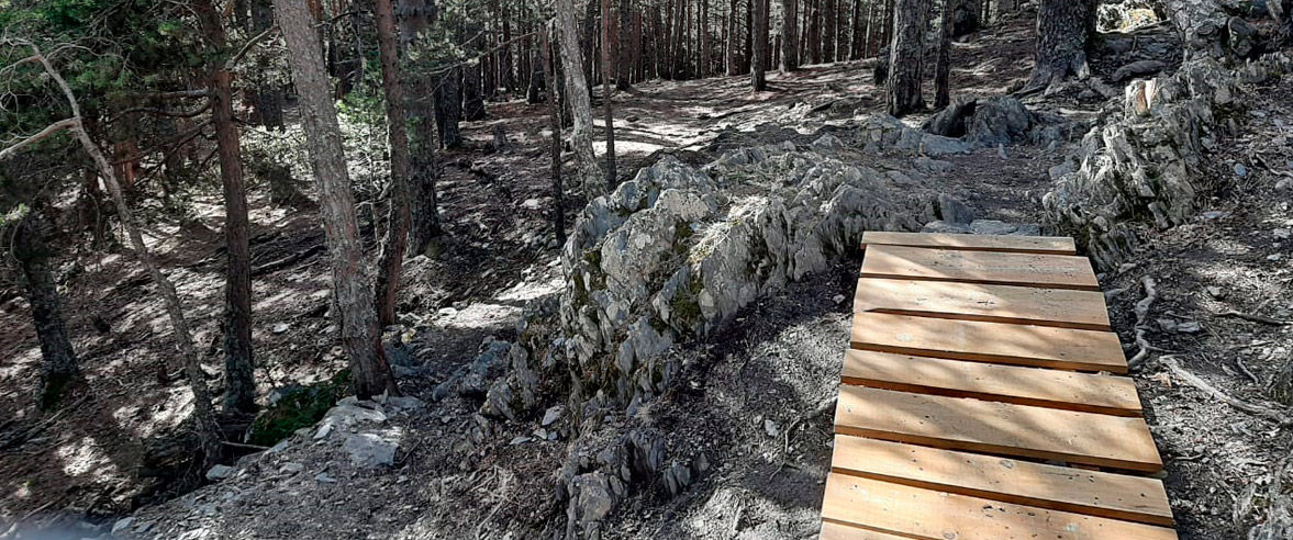
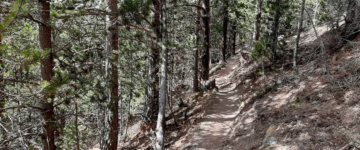
In this sector, we will challenge ourselves with a short ascent (50 metres) that is quite technical given its slope and the natural state of the terrain. We will continue to climb an exhilarating path that leads us to km 6.4 where we will get back on the road again. Here we will descend a few metres until we will see on our right the track that reaches Font del Mallol. An easy stretch of the route that takes us to the esplanade of Coll de l'Estall where there is Font del Mallol. There is a natural water source and picnic area here where you can rest and recover your strength for the last section. We will go through a path that's not excessively technical which will kill the levels in a controlled way that will lead us to the highest point of the route. From there we will start our first descent that will take us along a spectacular viewpoint. We continue along the path that descends without much inclination but with some technical areas due to the roots down to the Coll d'Ordino road.
At this point, we can either finish by climbing the Coll, or descend to Ordino.
If we choose to descend, we will initially do it on the same paved road and, after 200 metres, we will follow the path of the old Camí Vell. It is a long descent and with some technical points, so we suggest stopping at certain points to rest. We will continue to enjoy the descent until we find the road again where, at kilometre point 1.6 of the CS-345, we will divert to the left toward Gonarda and later to Aldosa. The last bit of pedalling on this route is again along Camí de les Gravades, in the opposite direction to the beginning of the route until we return to La Massana.
It takes about two and a half hours to complete the route. Appropriate for MTB and e-bikes.
Find more MTB routes and enjoy more time doing your favourite sport.
CLOSE
Read more


