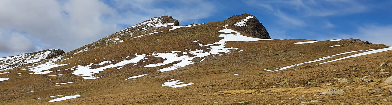
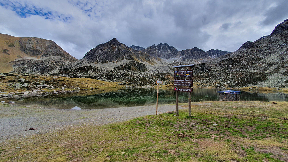
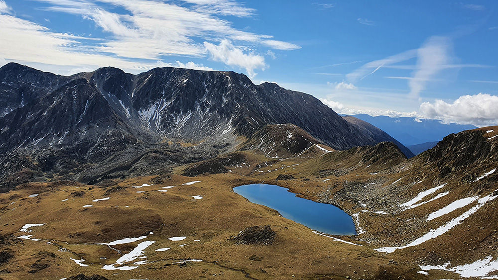
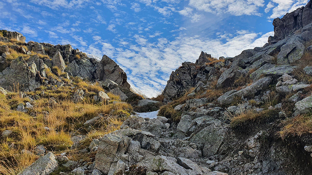
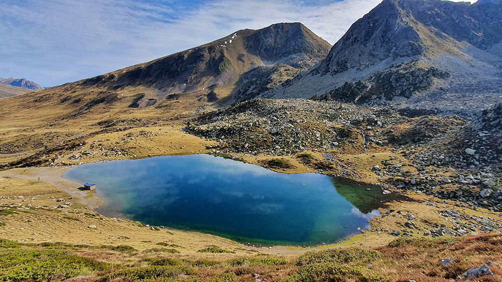
Hiking trail: Pic Negre de Envalira

Location and contact

To find out more

Download the guide in pdf Download track

Level

Moderate

Height difference

+696 m

Pic Negre is one of the four Envalira peaks that lie on a ridge between Andorra and France, offering spectacular panoramic views. Although it is a high-mountain hike, it does not present any technical difficulty.

The starting point is in Pas de la Casa, at 2120 metres, at the end of Avenida de Encamp, where you’ll find a bridge. On the other side is the start of the path (N42 32.399 E1 44.052).

Follow the yellow waymarkers to Llac Abelletes. From there, you’ll see a signpost for Collado de los Isards pass. Follow that path, parallel to the chairlift line.

Once past the slope, take a signposted path to the first pass and then to the Isards pass (N42 31.036 E1 43.794). Some sections are flat and others are more demanding.

From the pass, you’ll see the small Passaderes lake. Continue from there until you reach the summit of Pic Negre de Envalira (N42 31.112 E1 43.350), at 2816 metres.

This pass owes its name to the frequent passage of chamois, the native Pyrenean goat-antelope.

For your safety, we recommend doing all routes above 1,700 metres between the end of June and the end of September. However, if the weather and terrain conditions allow it, the season may extend from May to October.

You’ll find more details about this and other routes in the Trails of Andorra Hiking Guide.

Photos