Hiking trail: Camí dels Bessets de baix

Location and contact

To find out more

Download the guide in pdf Download track

Distance

1,76 km

Level

Easy

Height difference

+91 m / -91 m

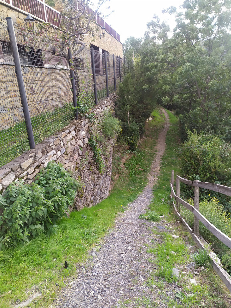
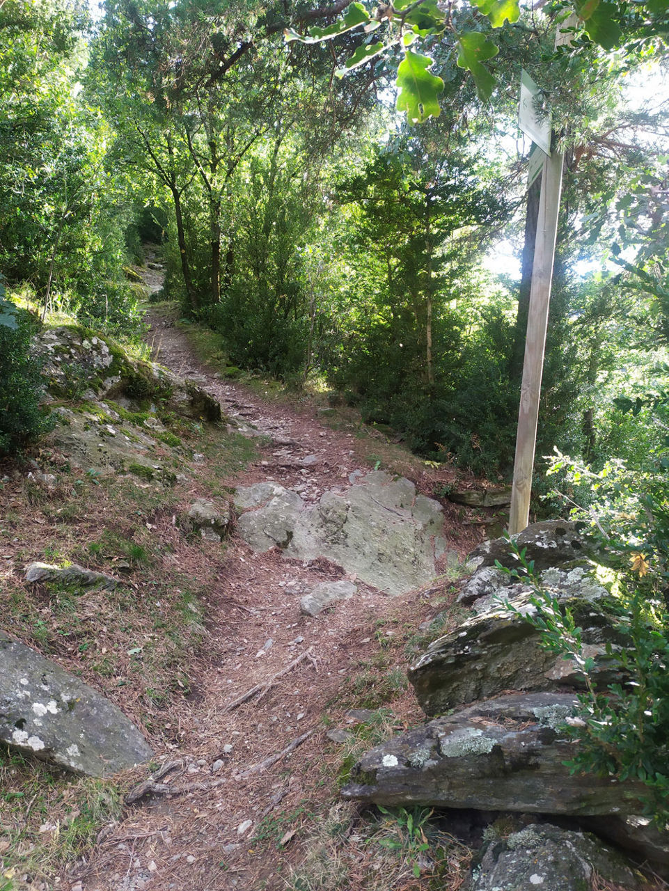
The Camí dels Bessets de Baix path connects the towns of Aixirivall and Auvinyà along a very easy route that runs for just over 1.7 km. The trail starts at km 131.1 on the Peguera secondary road, where you will find the sign indicating the Camí dels Bessets de Baix path.

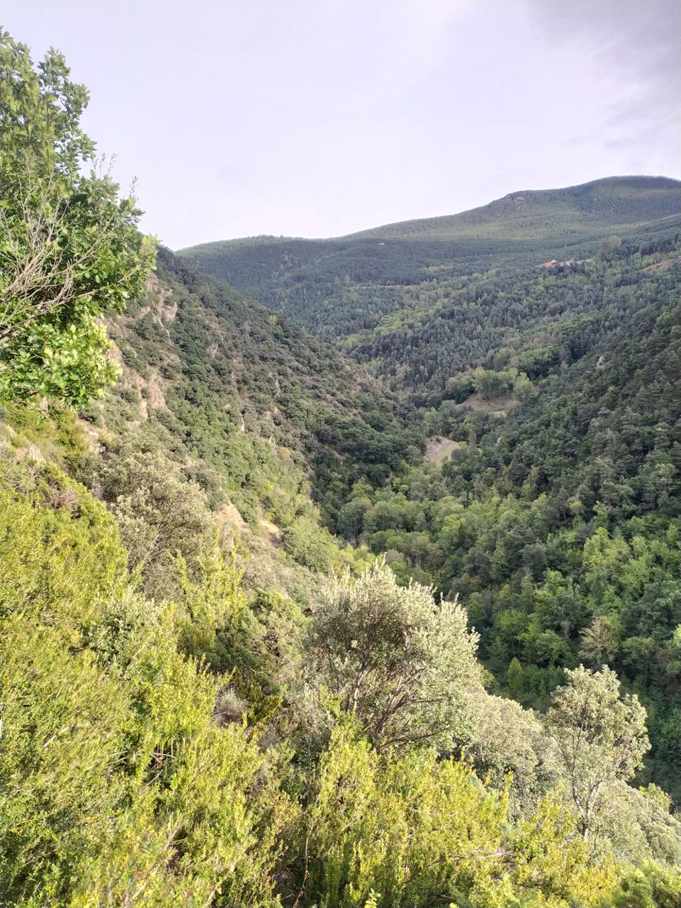
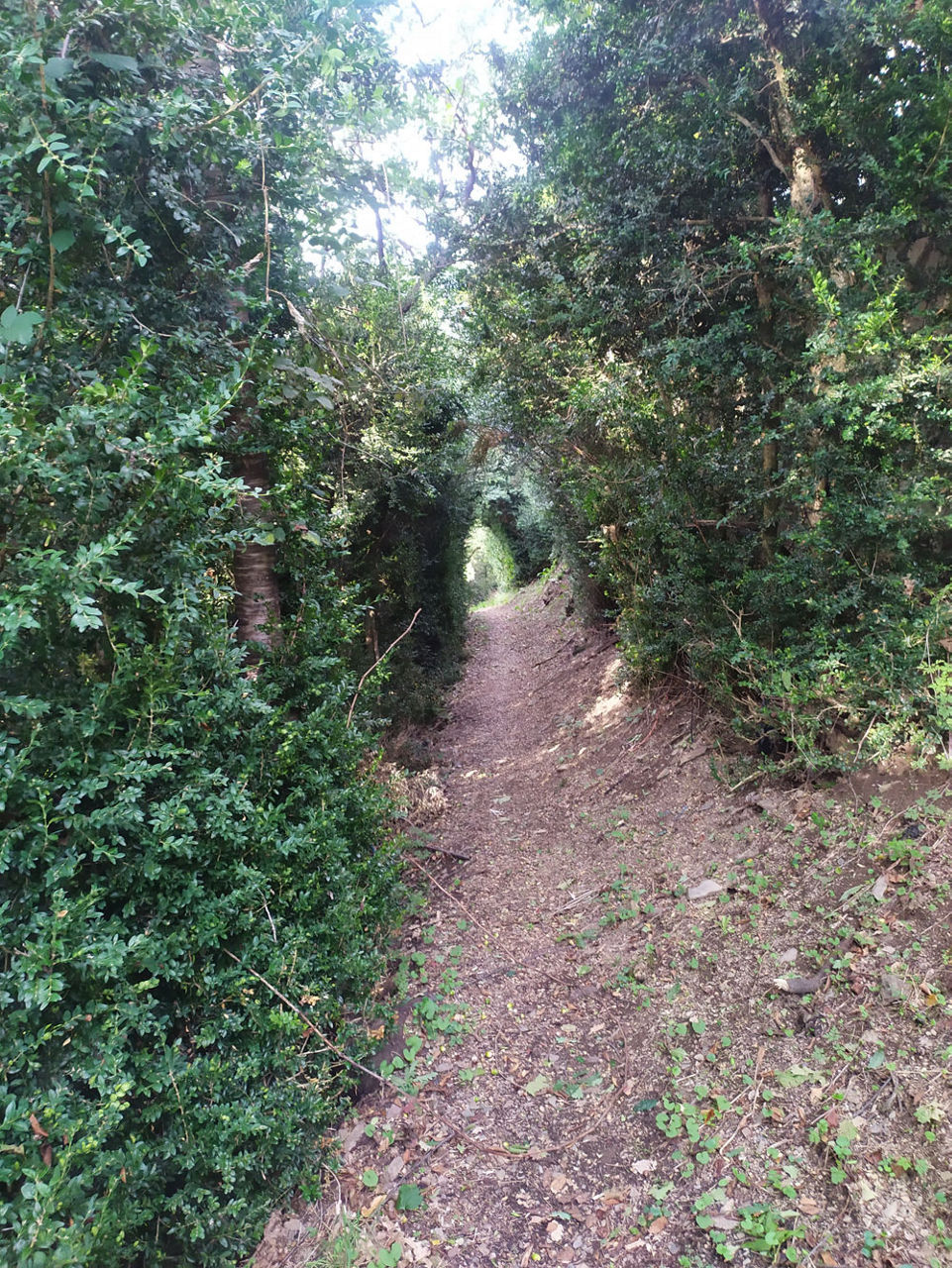
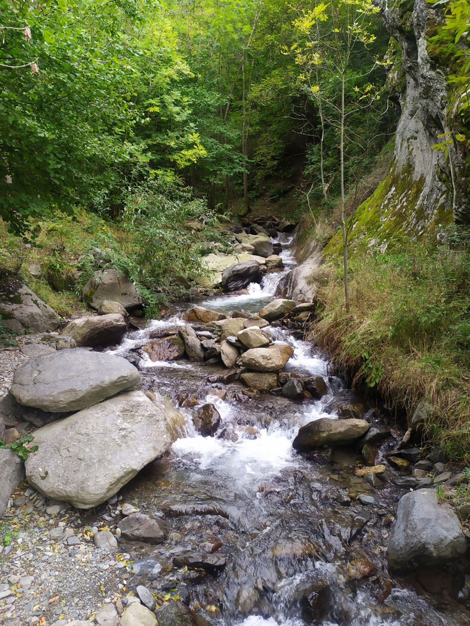
The path skirts several dry stone terraces surrounded by leafy boxwood bushes until you reach the head of Solà de Faucellers, from where you can enjoy a fantastic panoramic view of the town of Auvinyà.  The path descends diagonally, with the occasional detour, until it reaches the Aixirivall river, which you can cross on a beautiful wooden bridge. The path continues through a stretch of forest and slowly ascends to the meadows that surround the town of Auvinyà.

Auvinyà transformed its old town by private initiative in 2005. Today the village deserves a visit to the cobbled streets full of details and crafts reminiscent of a medieval mountain village.

For your safety, we recommend doing all routes above 1700 metres between the end of June and the end of September. Weather and terrain conditions permitting, however, the season can run from May to October.

You'll find more details about this and other routes in the Trails of Andorra Hiking Guide.

Photos

The most popular in this category