Hiking route: Pic de Medacorba

Location and contact

To find out more

Download the guide in pdf Download track

Distance

6.180 m

Level

Very difficult

Height difference

+1.344 m / -1.344 m

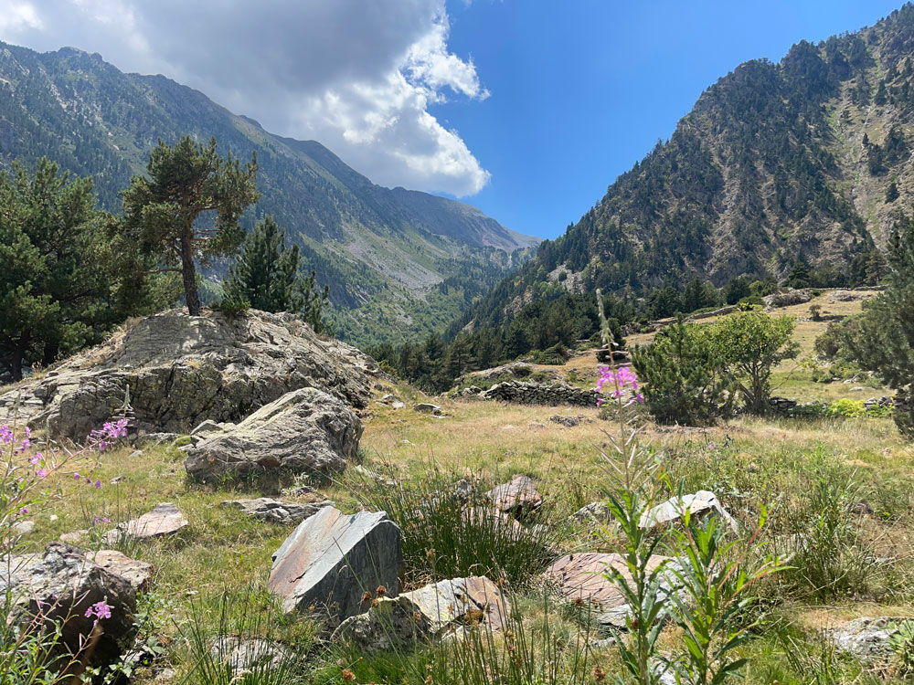
A challenging high-mountain circuit that will allow you to discover part of the Comapedrosa Natural Park, which is located in the parish of La Massana. This peak, which is over 2,900 m in height, is the most difficult one to reach in the Principality. It has a unique location right between Andorra, Catalonia and Ariège, providing a spectacular panoramic view of the surrounding peaks and lakes.

The excursion starts at the top of the village of Arinsal, in the parking area for the Natural Park (N42 34.754 E128.657)

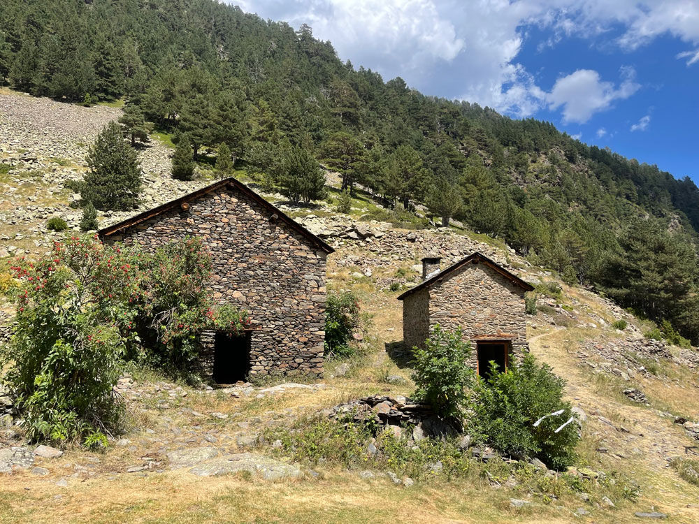
After completing the first section on a forest track, you will come to a barrier. You should take the path to the right, and then further to the right again, crossing a forest to a meadow, where the Coruvilla sheepfolds are located (N42 35.191 E1 22.084).

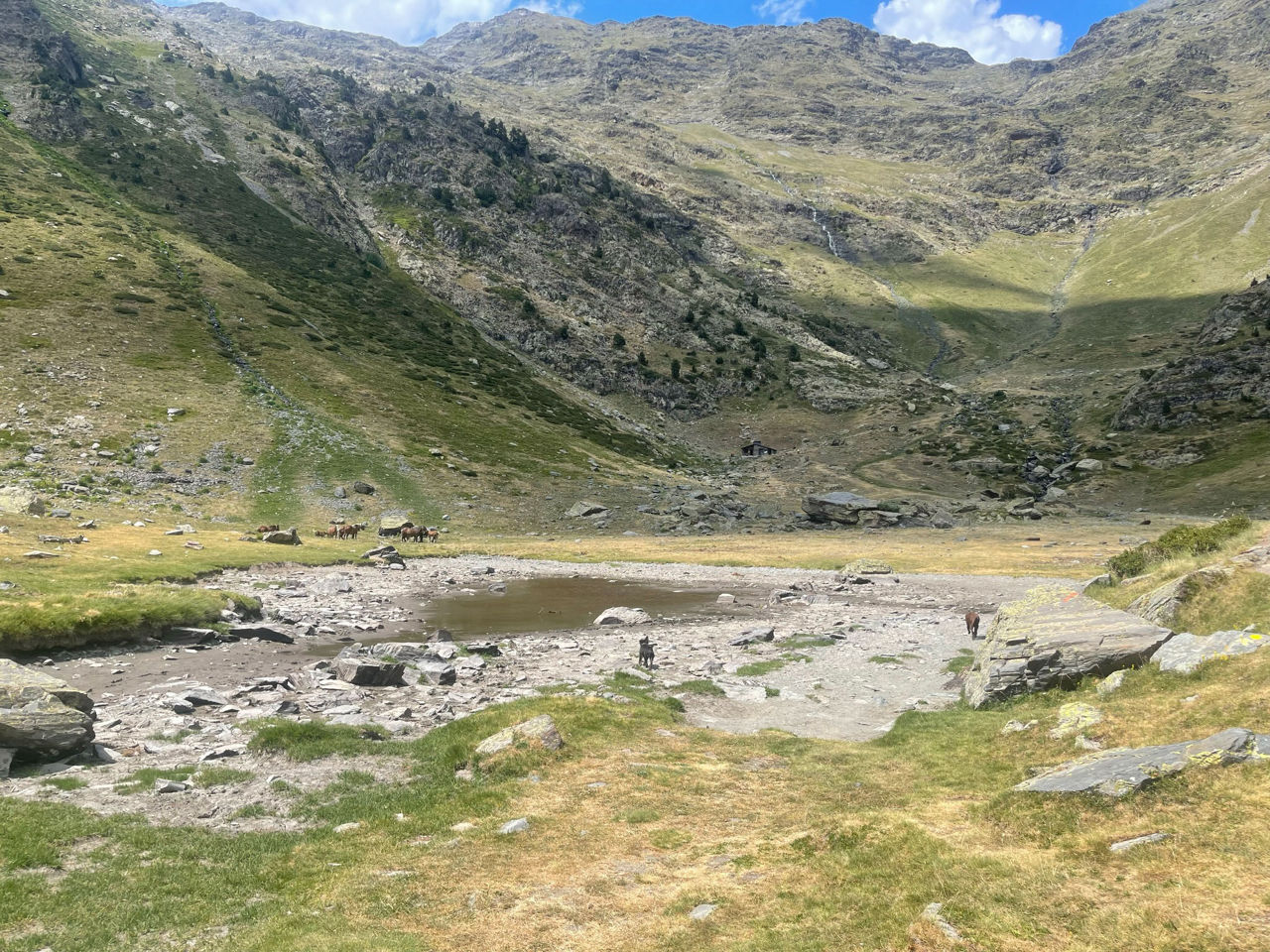
From there, you can follow the red and white markers of the GR to Pla de l'Estany, and at the refuge bearing that name, you will find an exceptional glacial cirque. You should then continue on the GR to reach the Estanys de Forcats lakes, with their dark blue waters, and then the Forcats pass (N42 36.095 E1 26.574). From there, you will need to pay attention to the cairns which mark the path. These will lead you the rest of the way as you climb up to the top of the peak of Medacorba.

On the way back, you can take the same route.

Photos

The most popular in this category