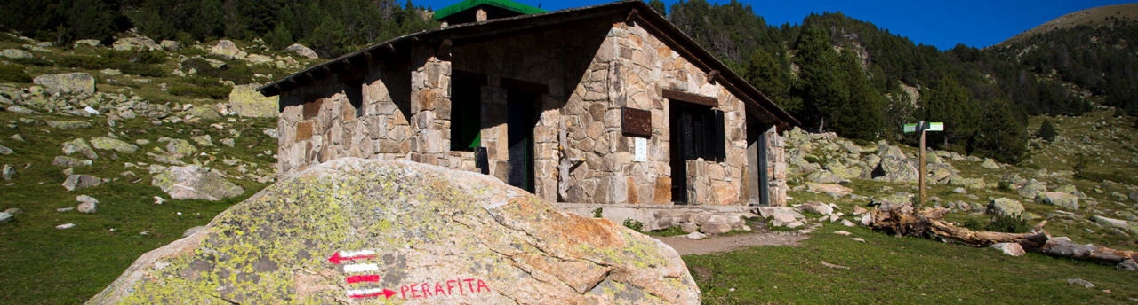
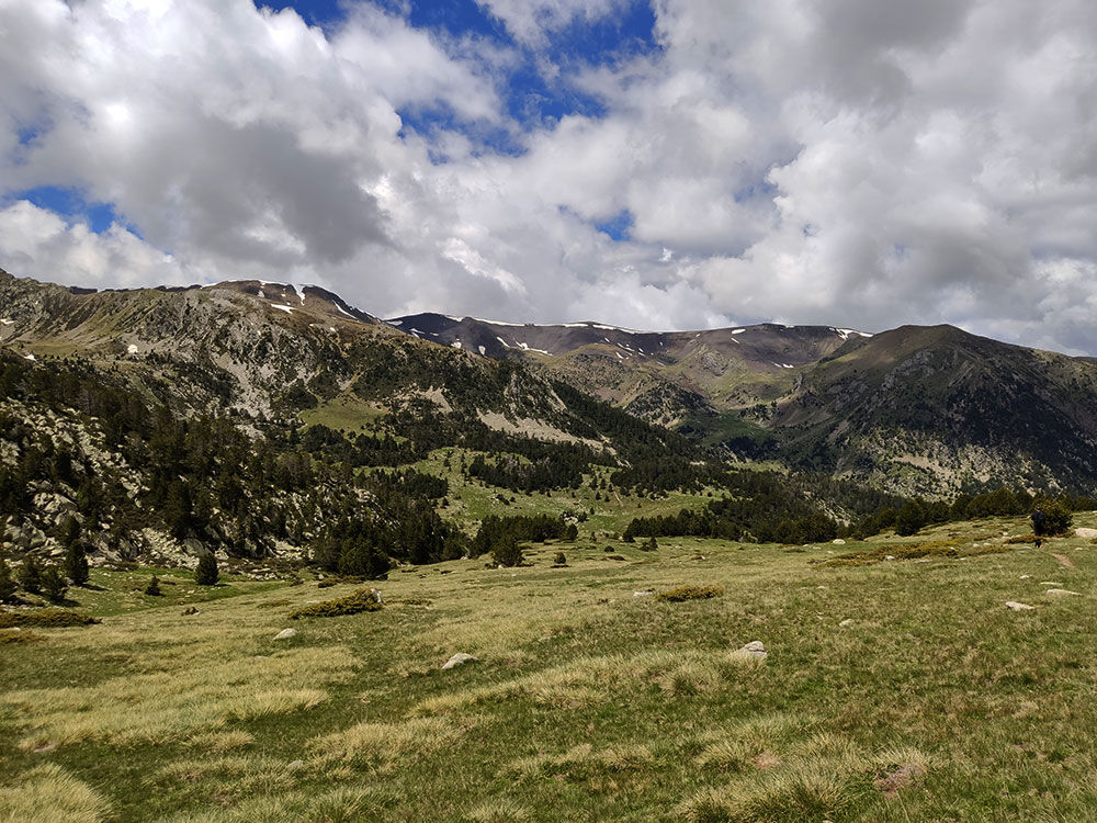
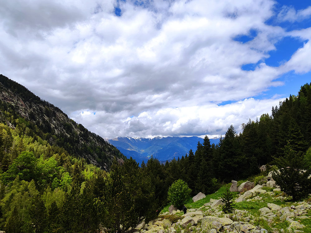
Hiking route: Itinerari de Perafita

Location and contact

To find out more

Download the guide in pdf Download track

Distance

8,493 km

Level

Difficult

Height difference

+965 m / -965 m

The Perafita hiking route is an almost circular route that takes us to the Perafita hut through the largest river basin in the country. We start the route 100 metres from the road to la Plana, from the Engolasters crossroads in the parish of Escaldes-Engordany. We will start to walk on a cobbled path that will take us to the Bordes d’Entremesaigües, where we turn right and cross the river Madriu after a short descent. Its length and height makes it high in difficulty.

From this point on, the path turns upwards again through the Perafita-Claror Valley forest to a scree. Along the whole route, we will pass meadows and cabins that were formerly used in stock breeding and agriculture, the two most important activities in this area and which have contributed to the valley’s recognition by UNECSO as cultural landscape. We will continue the route past very flat blocks of granite and after a short time we come to the Perafita plain and hut, our destination. We will not come back the same way, but rather take the commune route to the north-west to go into the Ròdol forest to Ràmio bridge, where we will follow the GR to the point where we started our route.

The start of this route is on the road to la Plana, in the parish of Escaldes-Engordany (42° 30' 15",1° 33' 3").

For your safety, we recommend you do the routes at altitudes of over 1,700 metres between the end of June and the end of September. However, if the weather and terrain conditions allow it, the season may extend from May to October.

You will find further details of this and other routes in the Hiking guide Trails of Andorra.

Photos

DOWNLOAD ACTIVE TOURISM

DOWNLOAD ACTIVE TOURISM

Discover a wealth of outdoor routes, with offline maps and detailed GPS tracking. Plan your mountain activities now!
DOWNLOAD ACTIVE TOURISM