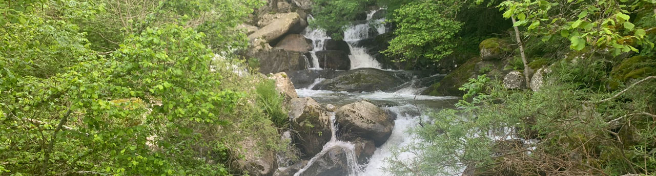
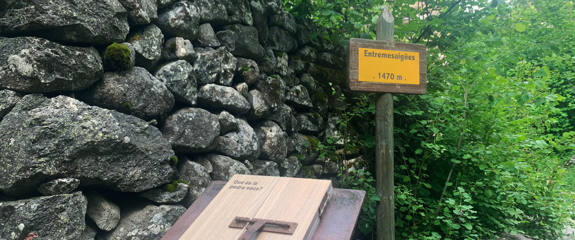
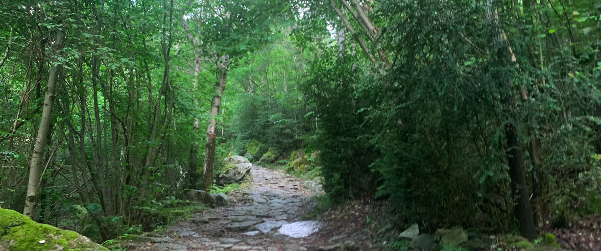
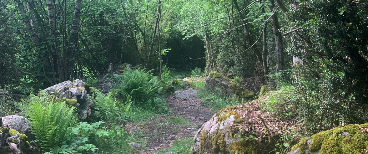
Hiking route: Itinerari d'Entremesaigües

Location and contact

To find out more

Download the guide in pdf Download track

Distance

3,91 km

Level

Easy

Height difference

+280 m / -280 m

This 4-km long route crosses the Madriu Valley and can be walked in just over 1 hour and 30 minutes. It is classed as medium-level difficulty.

The Madriu Valley is a long glacial valley that runs from east to west. The typical flora of the region includes Scots pine (Pinus sylvestris) and mountain pine (Pinus uncinata). The undergrowth is mostly made up of alpenrose (Rhododendron ferrugineum) and European blueberry (Vaccinum myrtillus). The most interesting birds include the black woodpecker (Dryocopus martius), whose song you’re sure to hear and who knows, it might even come into view to show off its spectacular black feathers. Without forgetting the great tit (Parus Major) and the treecreeper (Certhia sp.).

The Entremesaigües route starts at around 100 metres higher up, where the beginning of the Carretera de la Plana road meets with Carretera d’Engolasters (there’s an informative sign). Go up Camí de la Muntanya (mountain path), which passes through the forest following a cobblestone track, marked with yellow dots.

Continue along the path as far as Font del Boïgot, located in front of a mountain refuge. At this point, the path flattens out and you’ll come out of the forest to cross the Claror and Perafita River over a small footbridge. You’ll now link up with the descending path of the GR11, bringing you to the bordes (refuges) and Entremesaigües bridge, and the end of your hike. On the way back, go down to the left along the GR 7, on the Madriu cobblestone path, until you reach the Sessenat bridge and the road where you parked.

Starting point: Carretera de la Plana (42° 30' 15",1° 33' 3").

For your safety, we recommend you do the routes at altitudes of over 1,700 metres between the end of June and the end of September. However, if the weather and terrain conditions allow it, the season may extend from May to October.

You will find further details of this and other routes in the Hiking guide Trails of Andorra.

CLOSE
Read more

Photos

DOWNLOAD ACTIVE TOURISM

DOWNLOAD ACTIVE TOURISM

Discover a wealth of outdoor routes, with offline maps and detailed GPS tracking. Plan your mountain activities now!
DOWNLOAD ACTIVE TOURISM