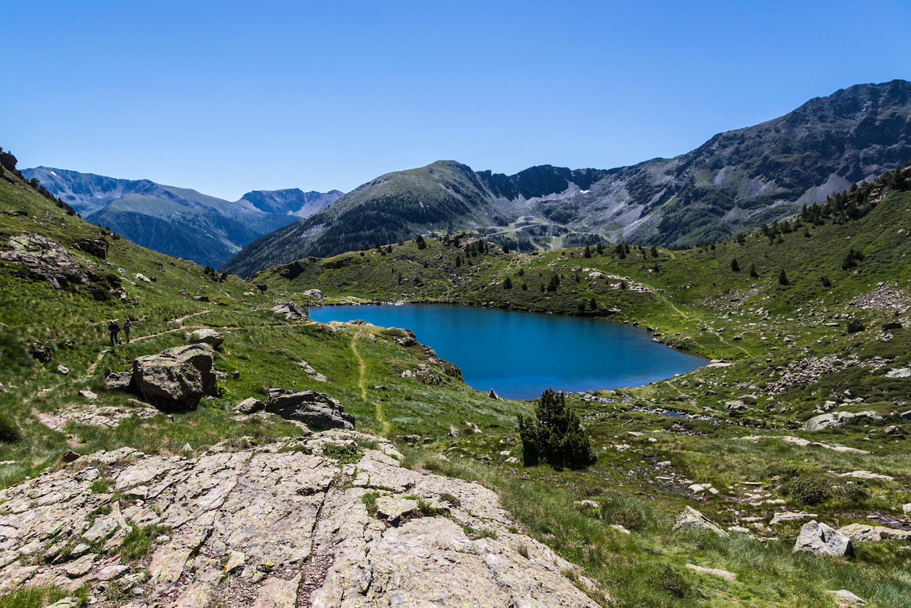
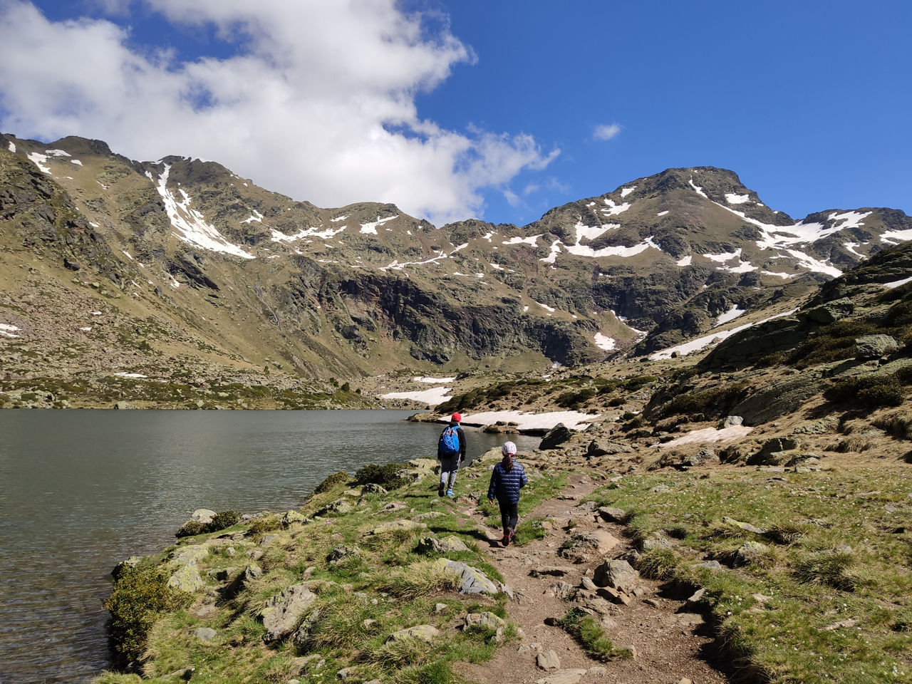
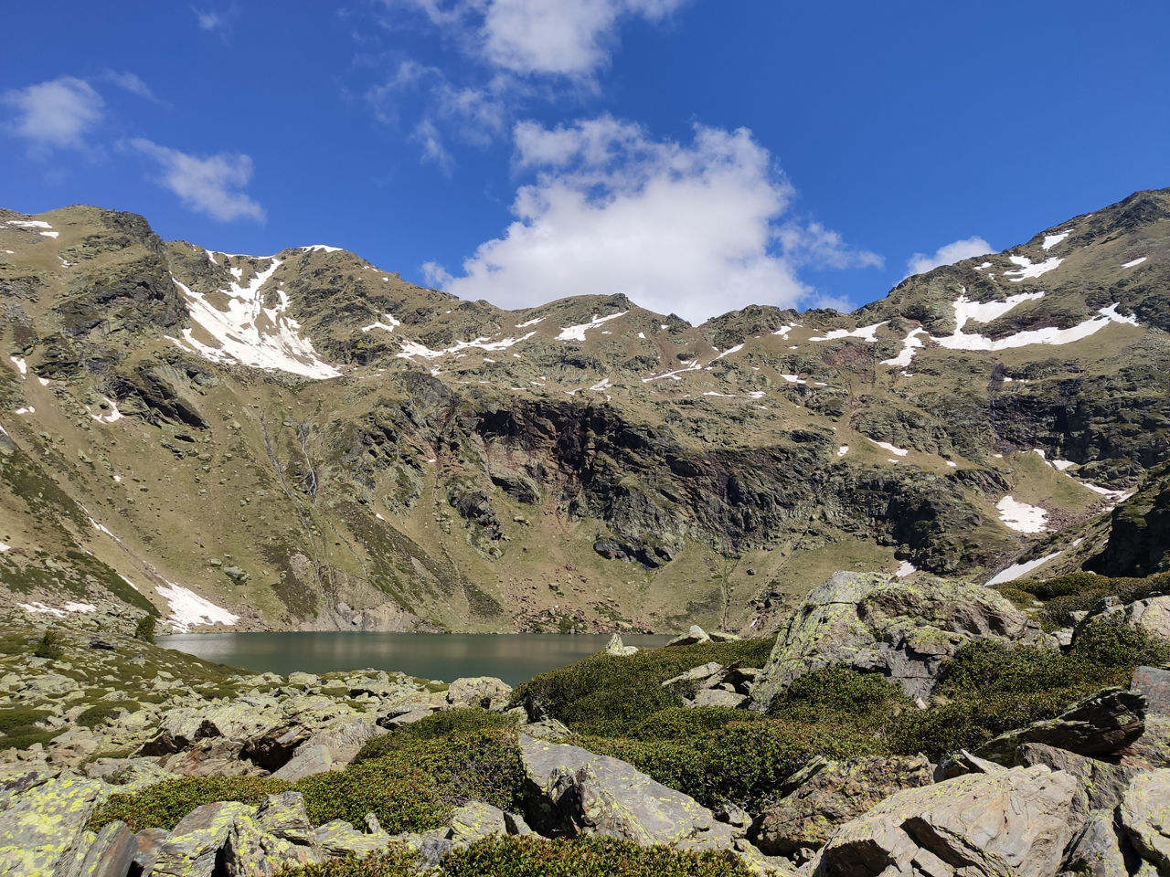
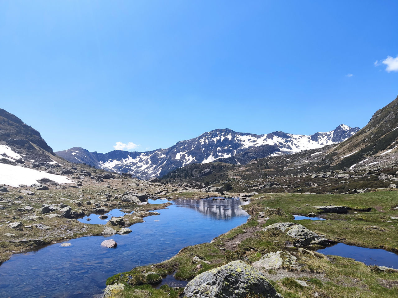
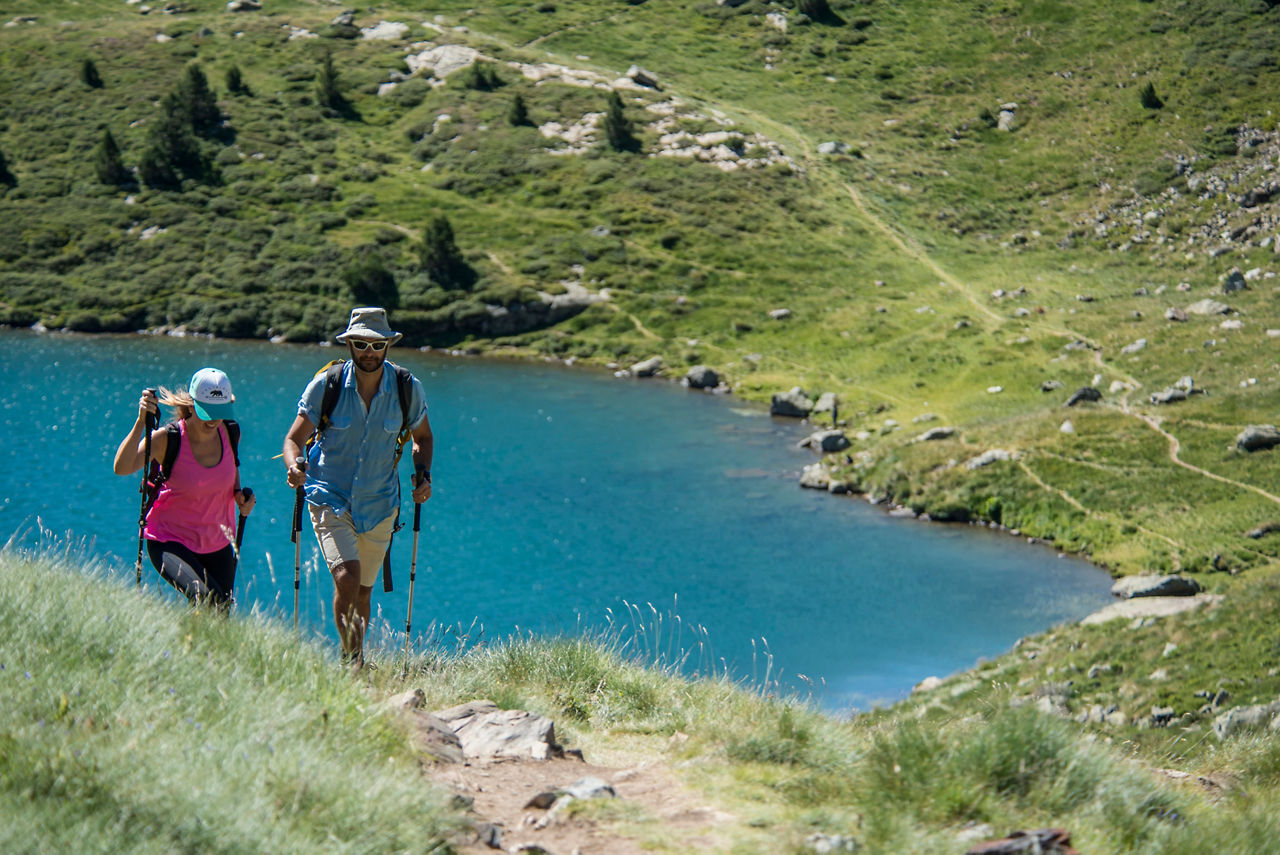
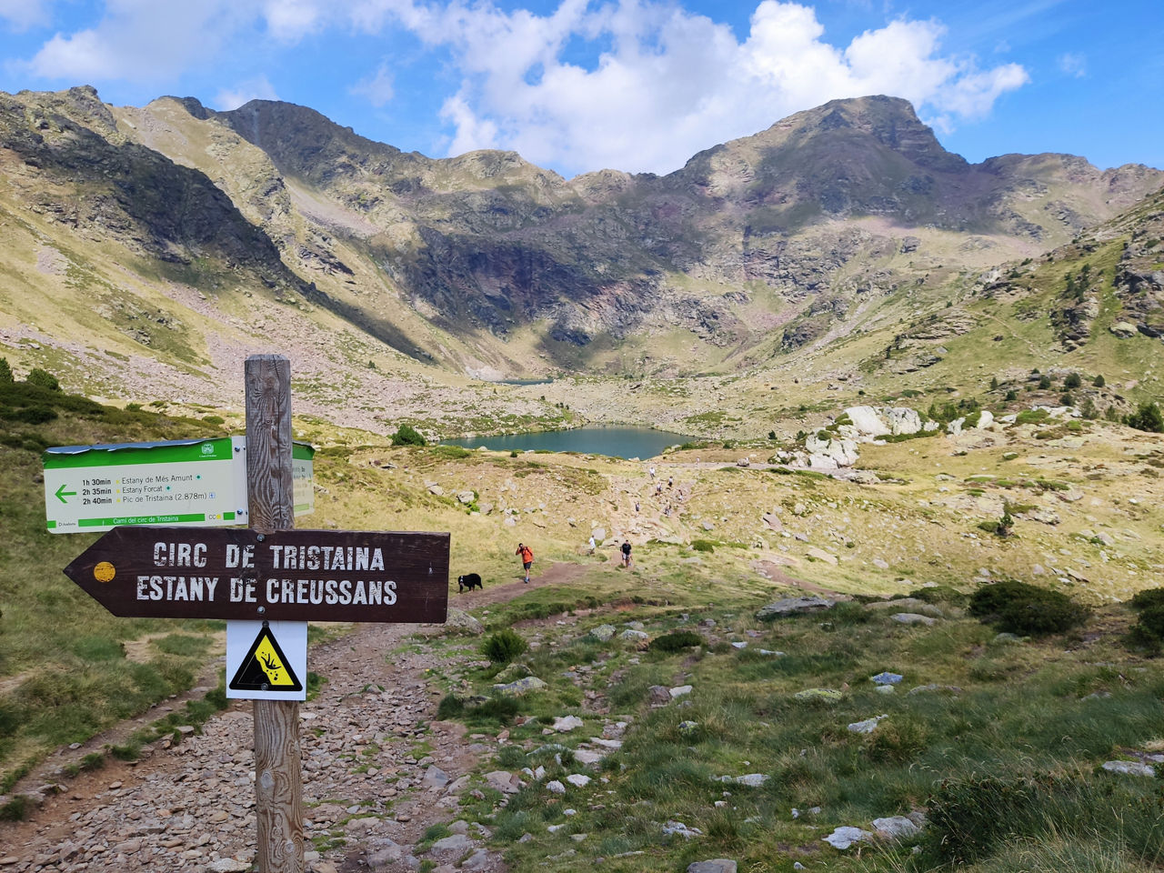
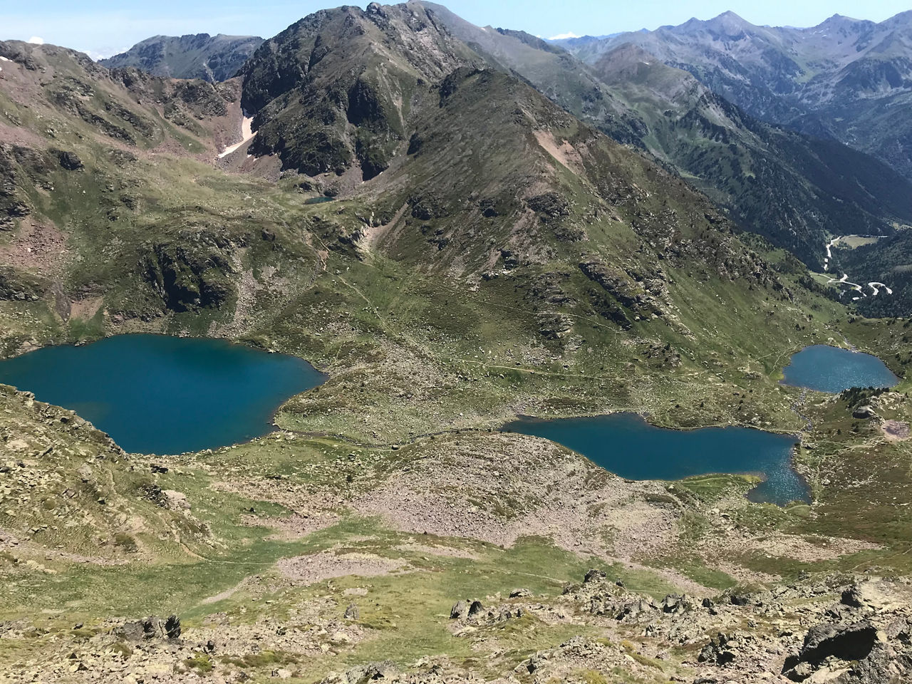
Hiking route: Estanys de Tristaina

Location and contact

To find out more

Download the guide in pdf Download track

Distance

4,39 km

Level

Moderate

Height difference

+210 m / -210 m

High-mountain lakes, a contemporary monument perfectly coexisting with nature, a summer bathing area and more. These are some of the attractions of the Tristaina Lakes route, one of the most popular hiking trails of Ordino —declared a Biosphere Reserve by UNESCO since October 2020— and the entire Principality of Andorra. Take note of the most interesting details and how to find more information.

Description of the route

The route up to the Tristaina lakes has a moderate degree of difficulty, suitable for walkers of all levels. The ascent up to the first lake from the Coma car park is an easy section ideal for doing with children and takes around 40 minutes. This path is the perfect setting for a first mountain experience as a family.

The whole Tristaina lake trail is a 4.4 km circular route that can be completed in three hours. The route has an overall ascent/descent of +/- 201 m, with constant ups and downs. The maximum altitude reached is 2,330 metres, at the last lake, known as Mes Amunt (Top). The route starts at the Coma services car park in the Ordino Arcalís ski resort.

The lakes and other attractions of the trail

The three high-mountain lakes are undoubtedly the most amazing part of the Estanys de Tristaina route, from which it gets its name. The first appearing on the hiker's path is Estany Primer, the smallest one of the three, but with the bluest water. The next to appear before our very eyes is Estany del Mig, surrounded by scree and hills. Then the final lake which is also the largest, Estany de Més Amunt, with its circular shape and characteristic high-mountain glacial setting, lies at the foothills of the Tristaina summit (2,878 metres). Bathing is permitted in this area in summer.

Another of the most interesting things about the Estanys de Tristaina route is found right at the start, which is the Arcalís 91 monument by the sculptor Mauro Staccioli. It is a spectacular steel ring of thirteen feet in diameter that seeks symbiosis between natural and geometric laws. Regarding flora, typical alpine dwelling species are worth mentioning, like Androsace carnea (Rock Jasmine). Regarding fauna, one of the animals that are spotted regularly are the Percheron horses that roam freely across these landscapes and the stoat.

Further information about the Estanys de Tristaina route

If you are considering this route, we recommend that you download the information sheet. You will find a precise description of the itinerary, with indications on crossings, trails, geographical coordinates and approximate time frames for each leg of the trip. You can also download the track to view it on your electronic reading device (GPX format). However, this route is very well sign-posted, making it very easy to follow the proposed itinerary. For more general information, you can get a copy of the Andorra Hiking Guide or use the official Active Tourism app, which include practical information such as the entire list of manned and unmanned refuges in the Ordino parish and the entire Principality. 

During the summer months, vehicle access by road to Coma del Forat is reserved only for cyclists wishing to reach Port d’Arcalís, therefore, the only way to reach Coma del Forat is by cable car, unless you go by bicycle or walk. For further information visit the Ordino Arcalís website.

For your safety, we recommend you do the routes at altitudes of over 1,700 metres between the end of June and the end of September. As usual when going into the mountains, you should have the right equipment (footwear and clothing), as weather conditions can change quickly.

CLOSE
Read more

Photos

DOWNLOAD ACTIVE TOURISM

DOWNLOAD ACTIVE TOURISM

Discover a wealth of outdoor routes, with offline maps and detailed GPS tracking. Plan your mountain activities now!
DOWNLOAD ACTIVE TOURISM