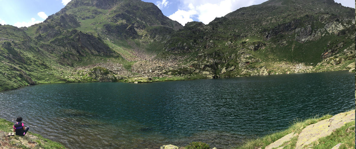
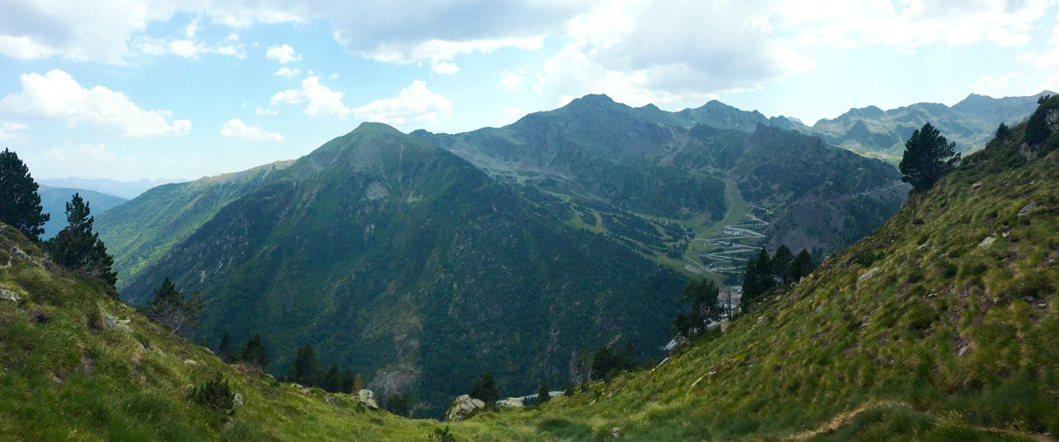
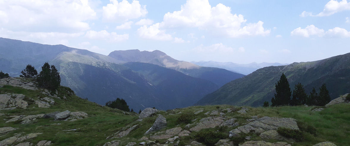
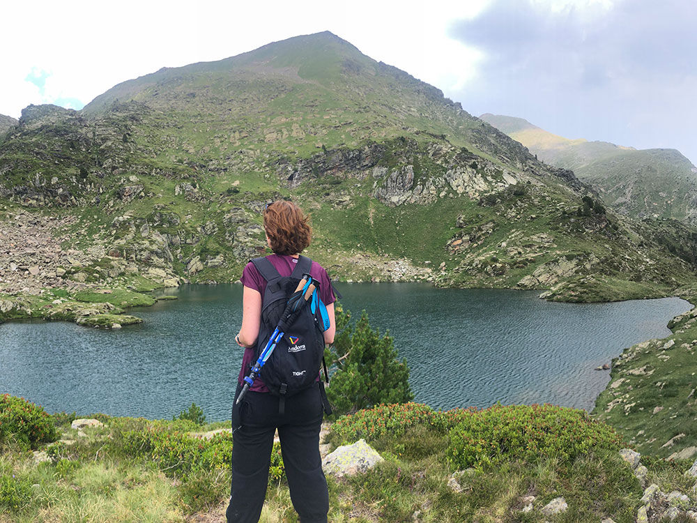
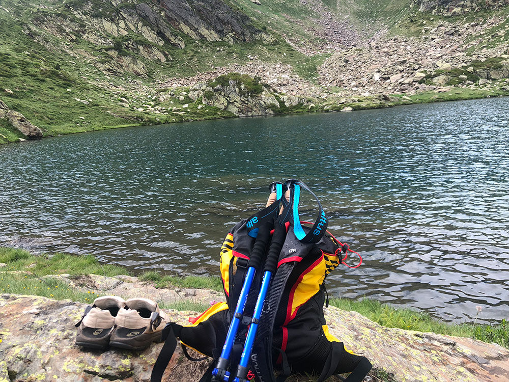
Hiking route: Estany Esbalçat

Location and contact

To find out more

Download the guide in pdf Download track

Distance

2,67 km

Level

Easy

Height difference

+220 m / -115 m

The trail up to Lake Esbalçat begins in the area known as El Castellar, located at km 20 on General Road 3 in the direction of the Ordino-Arcalís ski resort. Pont de Castella bridge marks the starting point of a forest track, which you must follow for 200 m until you reach two shepherd’s huts. There you will find information panels and the start of the Comís Vell trail, which is also where the route up to the lake begins.

Continue ascending, following the drystone wall running parallel to the River Comís Vell, until you come to the first wooden bridge. Pass by the bridge and continue on upwards, and shortly you will come to a second wooden bridge near a waterfall. Cross this bridge and in a few metres you will pass by a smaller waterfall.  The trail now leaves the river and continues upwards through woods of mountain pine, before reaching a large, flat clearing. This is the crossroads, from where you will make your way to the lake.

The trail now turns left, tracing a long diagonal across the crag and ascending steeply up the slope, looping round until it reaches the lake.

For your safety, we recommend that all routes above 1,700 metres should only be hiked between the end of June and the end of September. Weather and terrain conditions permitting, however, the season can run from May to October.

You can find more details about this and other routes in the Trails of Andorra Hiking Guide.

Photos

DOWNLOAD ACTIVE TOURISM

DOWNLOAD ACTIVE TOURISM

Discover a wealth of outdoor routes, with offline maps and detailed GPS tracking. Plan your mountain activities now!
DOWNLOAD ACTIVE TOURISM