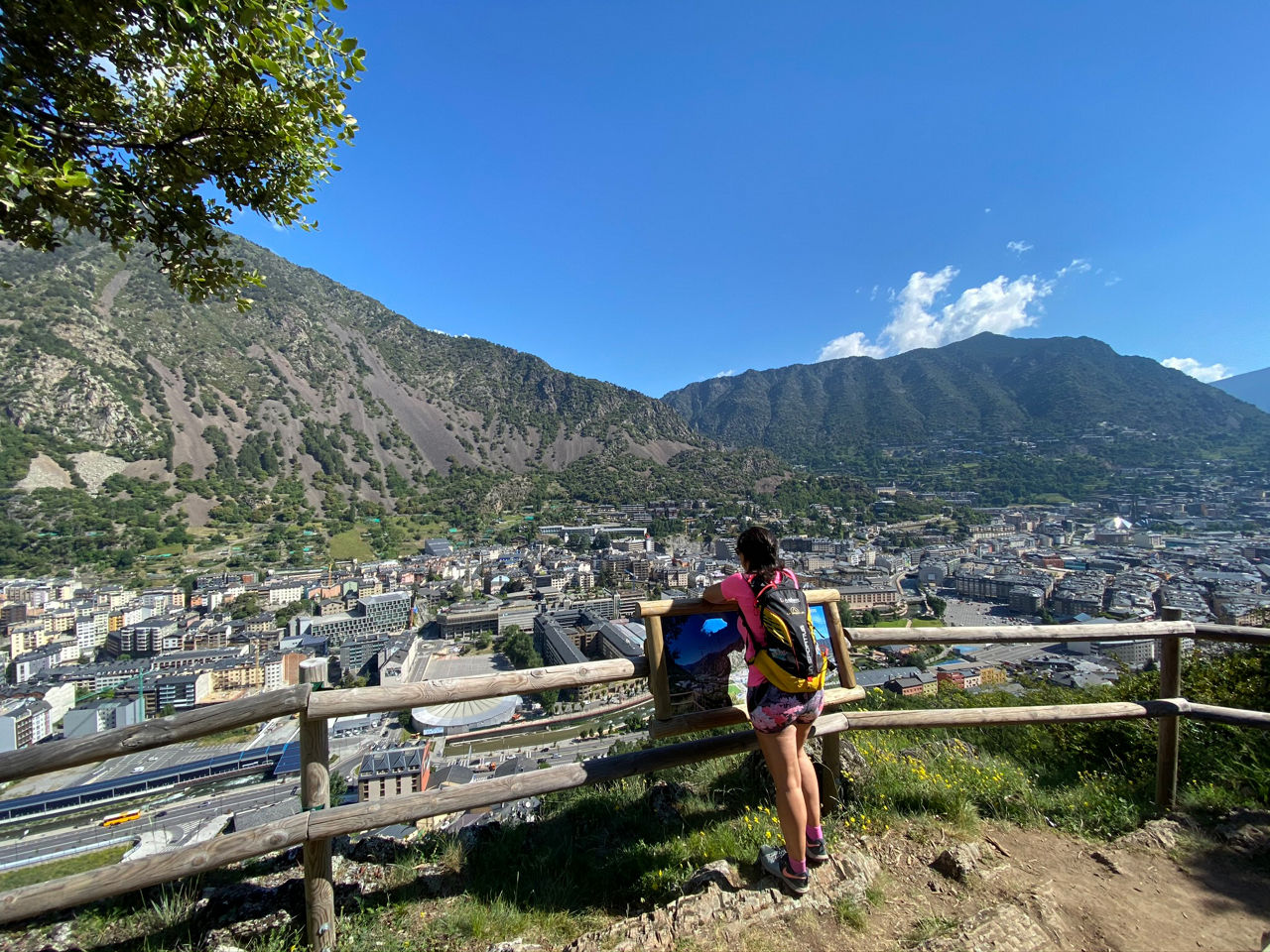
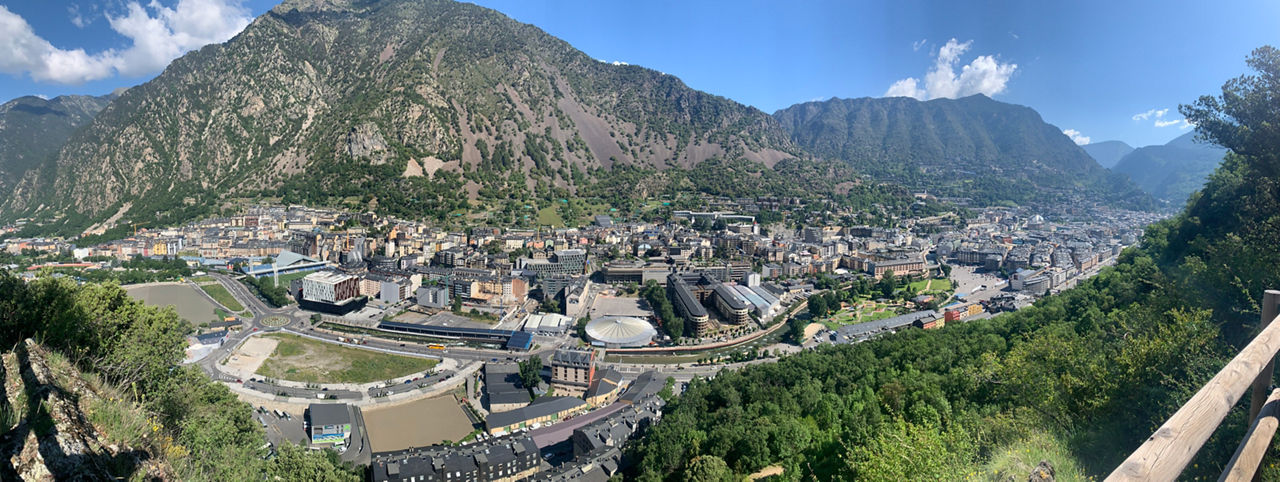
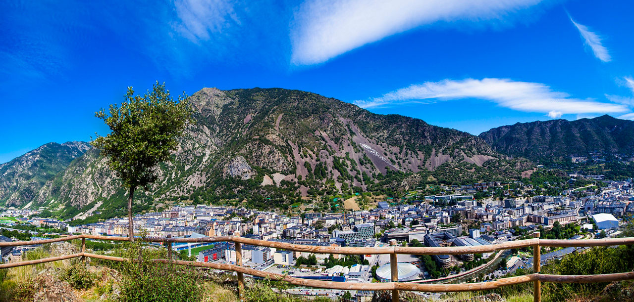
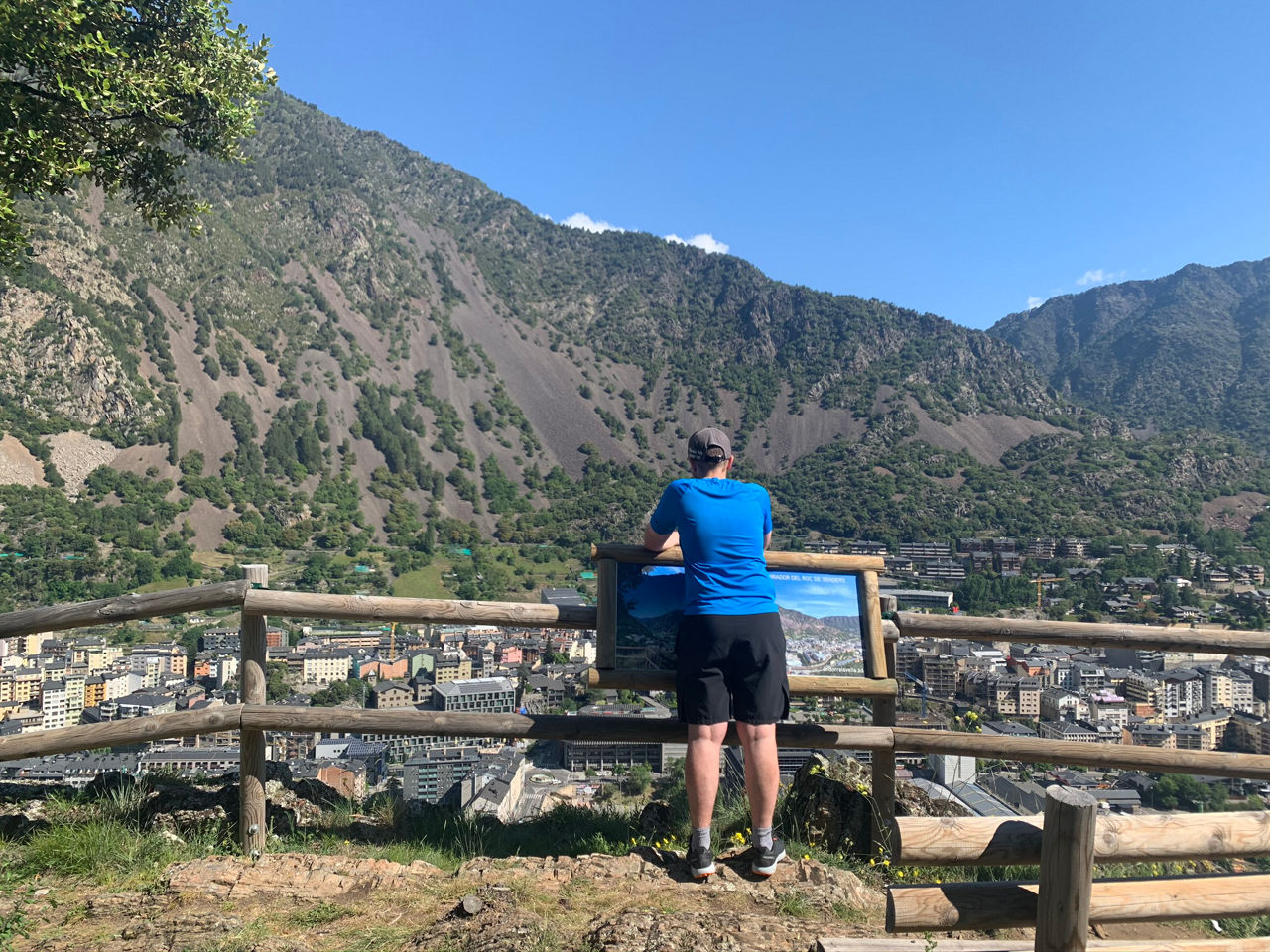
Hiking route: Andorra la Vella Vantage Points

Location and contact

To find out more

Download the map in pdf Download track

Distance

9 km

Level

Moderate

Height difference

+640 m / -610 m

The route is signposted throughout and starts at the beginning of the Camí de la Costa (the Serradells sports centre car park), although you can also start from the Prat Primer car park.

The four vantage points are accessed along paths and forest tracks in the Obaga forest around Andorra la Vella, equipped with orientation charts with maps, benches to rest on, as well as fountains and tables.

After walking just over 20 minutes from the Serradells car park departure point, you reach the first of the four vantage points that give the route its name: Roc dels Senders. The path continues to Bosc Negre (Black Forest). After enjoying the panoramic views over the Andorra la Vella valley and Santa Coloma from this second vantage point, take the Palomera path. This is one of the most attractive points along the route, where it passes through a wonderful hazel forest, full of magic and charm. This is part of the route to the Prat Primer refuge (although this route does not take you that far) and it takes you to the Roc de Palomera vantage point (1,660 m), the highest point of the route. From here, the descent begins to the Roc de Solobre vantage point, to complete the route back to the start.

A highly recommended route in the summer, due to the cool protection offered by the shady Obaga forest in Andorra la Vella.

For your safety, we recommend doing all routes above 1,700 metres between the end of June and the end of September. However, if the weather and terrain conditions allow it, the season may extend from May to October.

Photos

DOWNLOAD ACTIVE TOURISM

DOWNLOAD ACTIVE TOURISM

Discover a wealth of outdoor routes, with offline maps and detailed GPS tracking. Plan your mountain activities now!
DOWNLOAD ACTIVE TOURISM