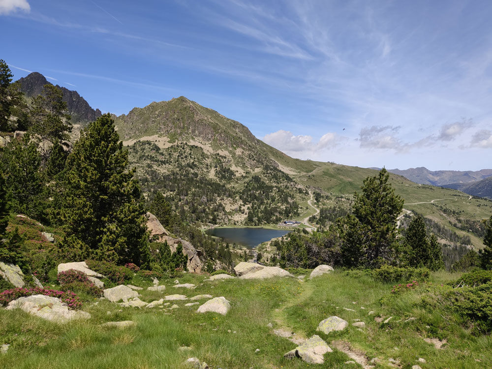
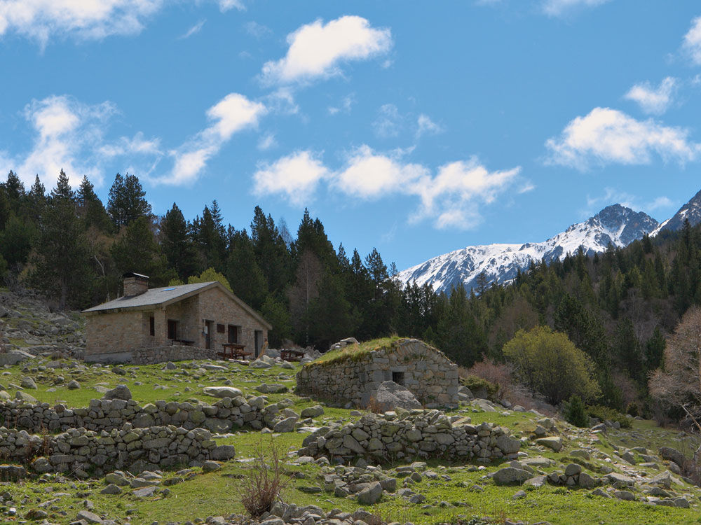
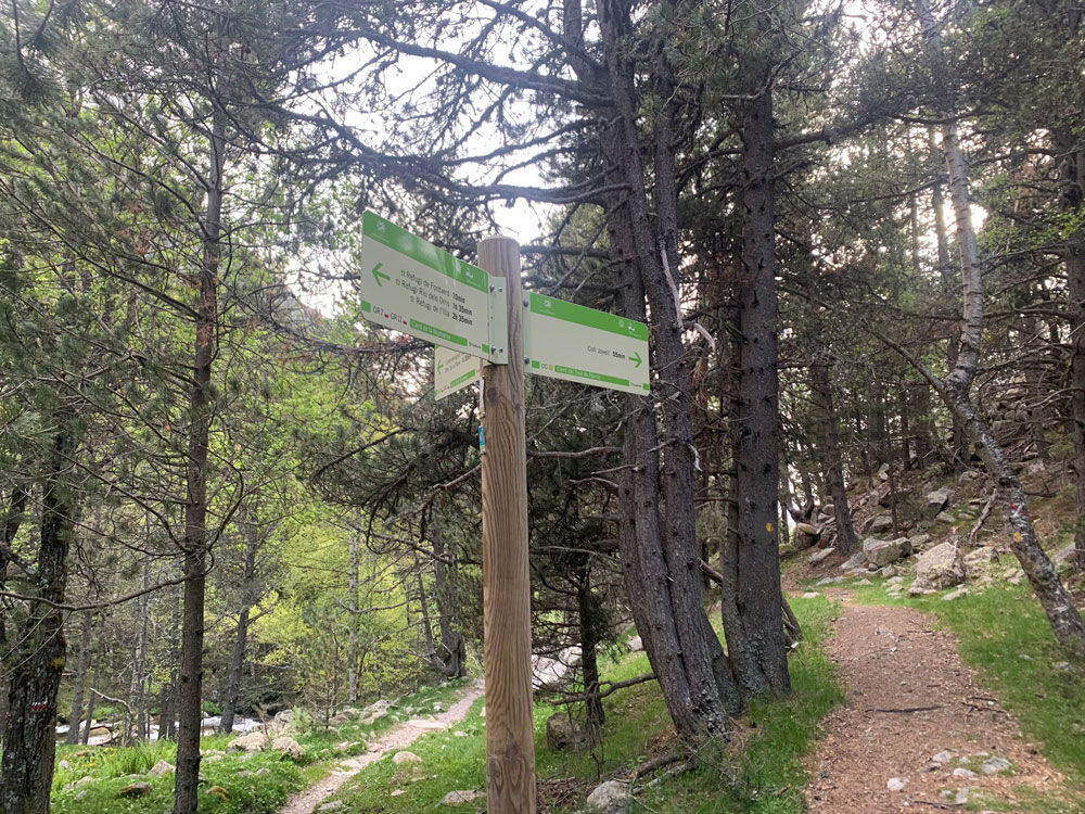
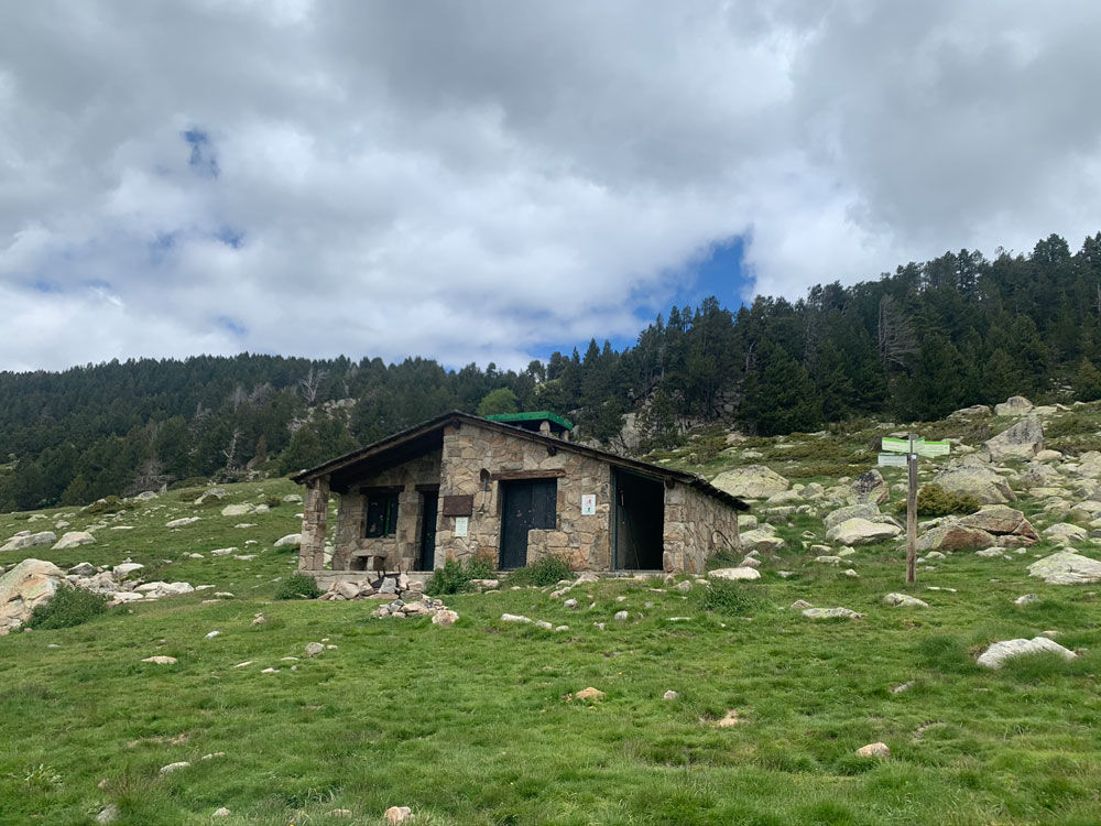
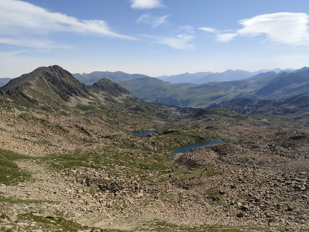
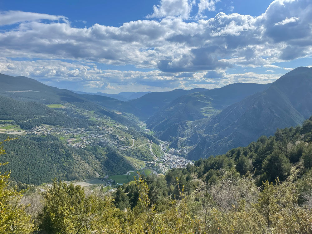
GR7: Andorra, d'est a sud
Useful information
- Difficulty level: Difficult
- Elevation gain: +3 m / -2 m
- Distance: 44 km
- Duration: More than 1 Day More than 6 Hours
- Stages: 1
- Route type: Hiking
Location
Distance:
44 km
Duration:
More than 1 Day
More than 6 Hours
Elevation gain:
Elevation gain:
+3 m / -2 m
Difficulty level:
Difficult