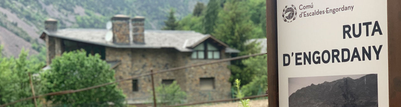
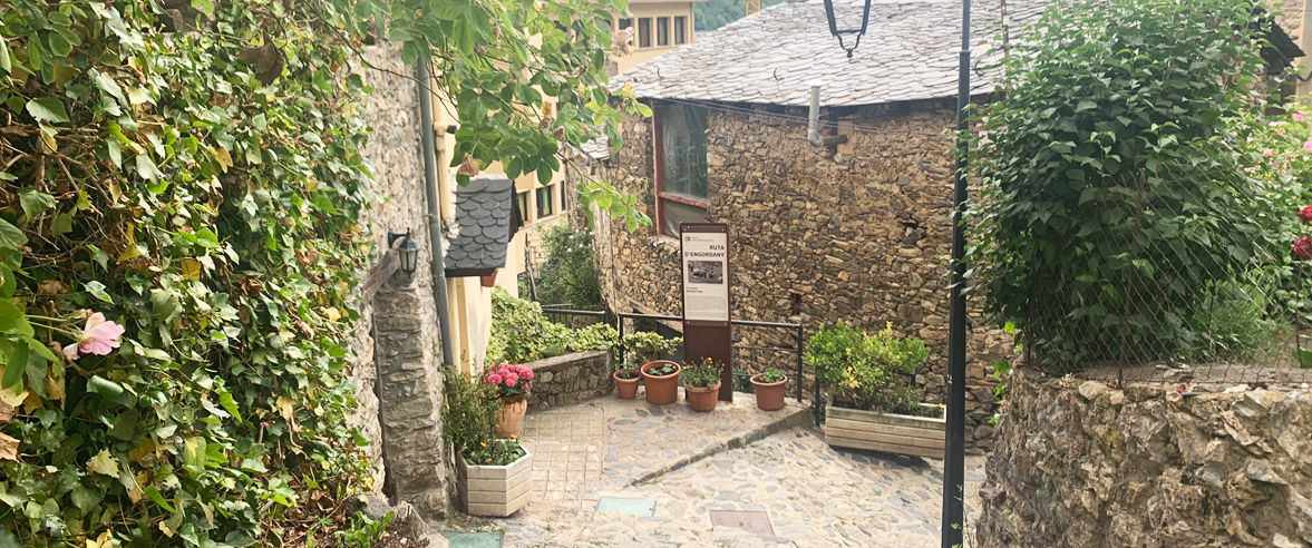
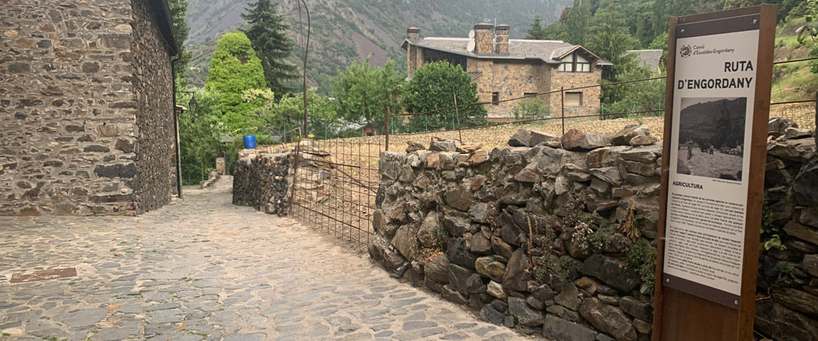
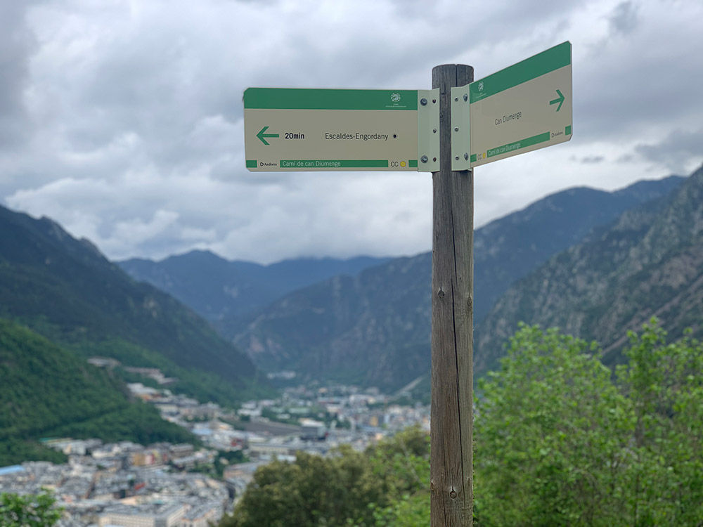
Engordany Trail

Location and contact

To find out more

Download track

Level

Easy

Height difference

+60 m / -60 m

Often concealed by the geography of the parish, this route around Engordany offers an opportunity to discover the area’s roots, which are directly connected to agricultural life (specifically, crop and livestock farming). The route, which is easy to access and presents no obstacles, is a journey through Andorra’s memory of the early 20th century.

Departing from Plaça de Santa Anna, the route follows the Camí de la Peletera to the site where the church of Sant Jaume formerly stood. From here, you can see the bridge connecting Engordany to Escaldes. Along the route, a series of panels present information on houses such as Cal Rafel, Cal Ricart and Cal Vicari, which serve as examples of traditional architecture and were used for purposes directly related to agriculture and livestock farming.

The Engordany Trail tells an alternative story of Andorra: that of everyday life at the start of the 20th century. Amidst the labyrinth of houses and streets that give this area its identity, visitors will gain an insight into the importance of water in this parish, and the strong sense of community that bound its residents together. These were essential requirements for meeting the challenge of working the land and tending the livestock in the harsh rural environment of the period.

Photos

DOWNLOAD ACTIVE TOURISM

DOWNLOAD ACTIVE TOURISM

Discover a wealth of outdoor routes, with offline maps and detailed GPS tracking. Plan your mountain activities now!
DOWNLOAD ACTIVE TOURISM