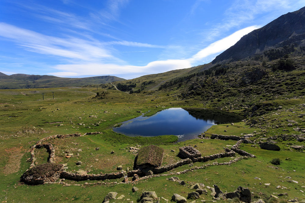
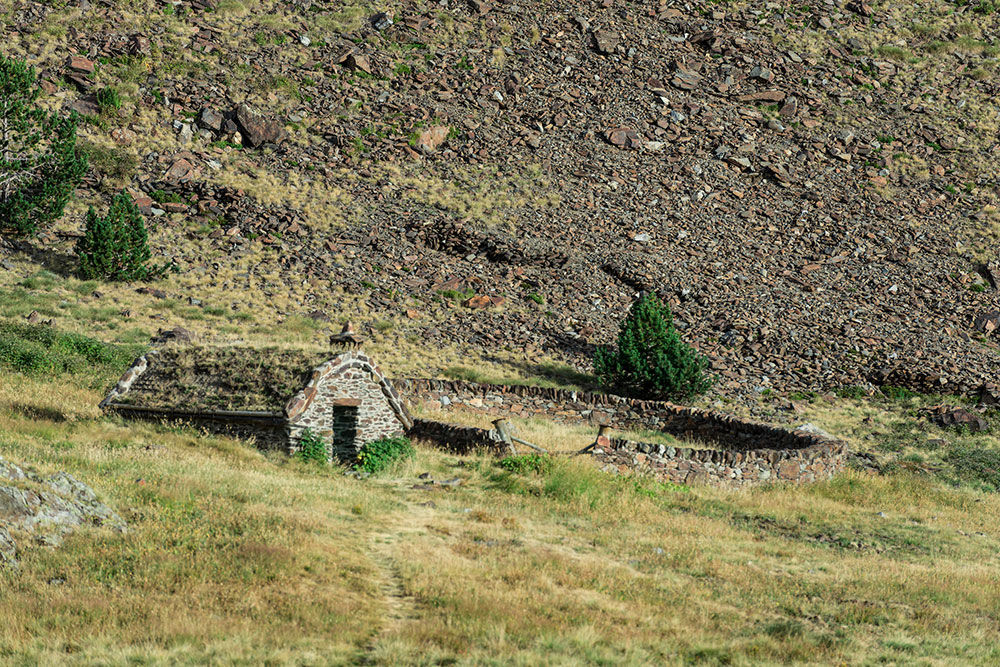
Running from Els Cortals near the town of Encamp to the Pessons cirque glacier by Grau-Roig, this trail offers a glimpse into the history and purposes of the orris, stone structures typical of the Pyrenees that shepherds used when working in summer months.
These three itineraries allow you to tailor a route that best suits you, in terms of both duration and the amount of climbing. The full circuit covers eight orris and their adjoining facilities.
As well as covering the route on foot during the summer – from early July to mid-September – the itineraries can be combined by taking the Funicamp and 4x4 service.
Information on timetables and prices can be found on the Grandvalira website.
Les deveses (I-1)
This itinerary follows the upper Vall dels Cortals to the Enradort mountain pass, where Vell, Emportona and Encerera orris are found.
Distance 3,513m, descent 7m, climb 393m, duration 1.5 hours.
El Cubil (I-2)
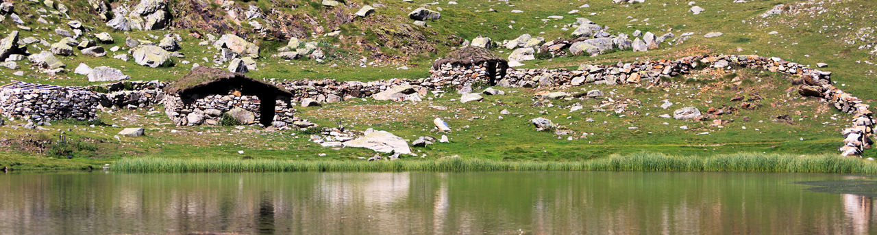
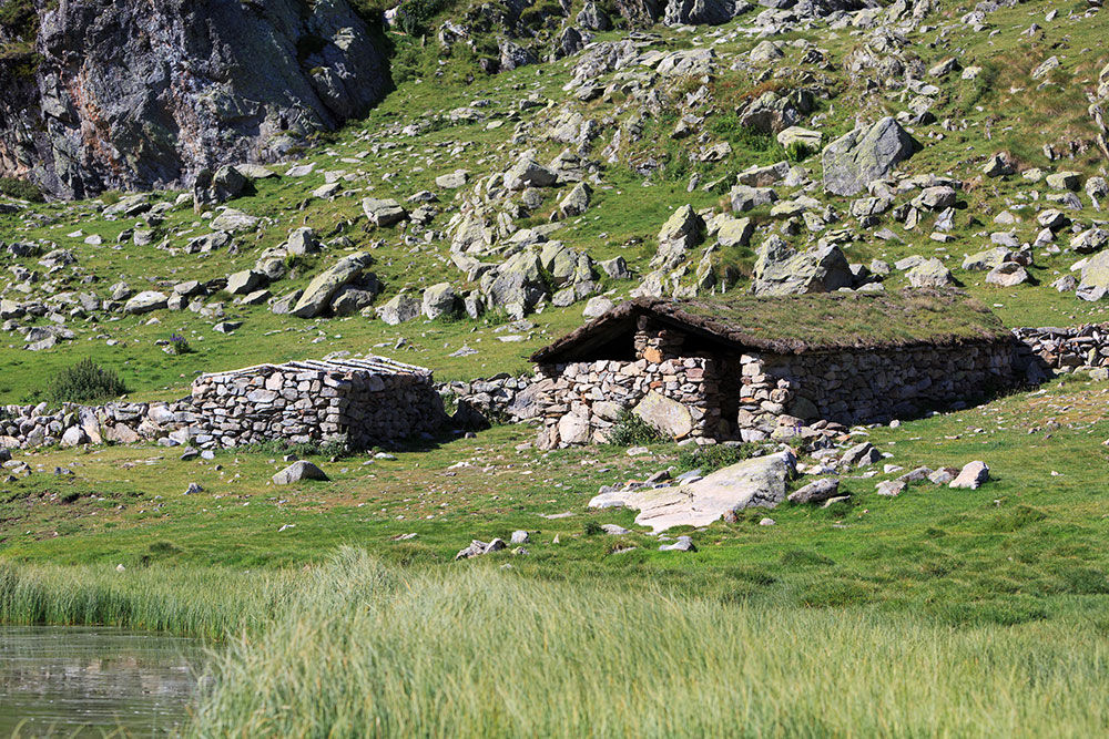
The route runs along the Enradort slope and through parts of the Cubil area, from the saddle near Solanelles to Cubil Lake. This takes in the orris of the upper and lower Enradort saddle, and of the Cubil.
Distance 2,389m, descent 218m, climb 29m, duration 50 minutes.
Encenrera (I-3)
This route follows the pastures to the north of the Pessons cirque near the Grau Roig ski resort. As well as the Encenrera and Forcat Lake orris, there is also a Roman-age settlement used for mining metals.
Distance 3,300m, descent 68m, climb 254m, duration 1.25 hours.
For your safety, we recommend taking all the routes over 1,700 metres in height between the end of June and the end of September. Weather and terrain conditions permitting, however, the season may extend from May to October.