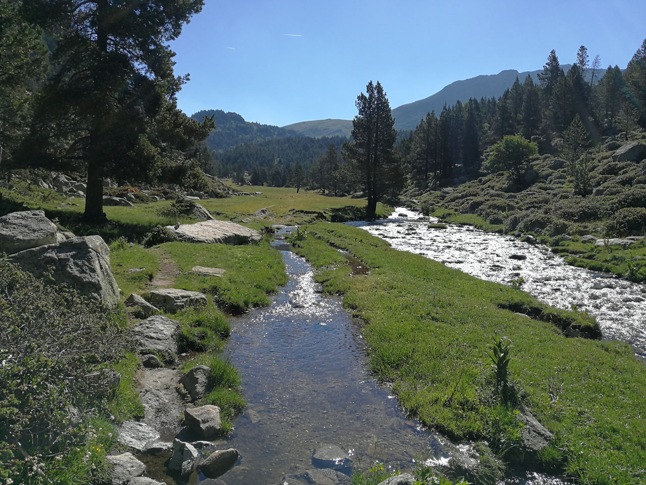
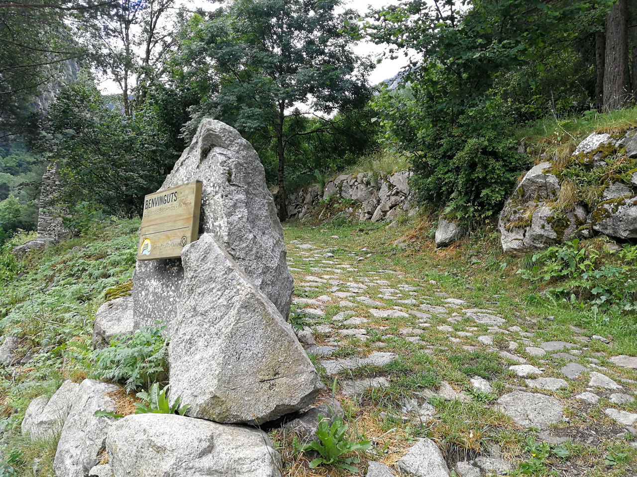
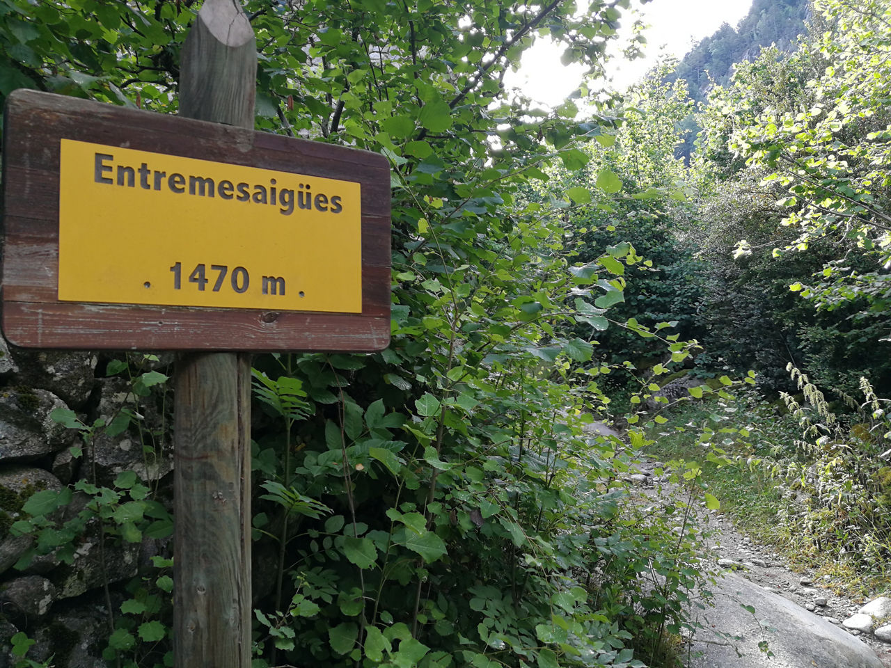
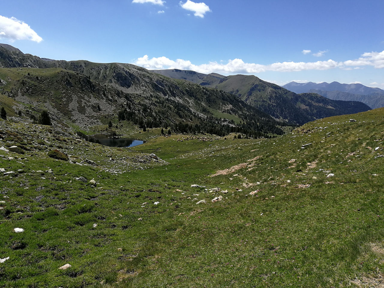
Recreation Trail: Vall de Madriu long-distance route
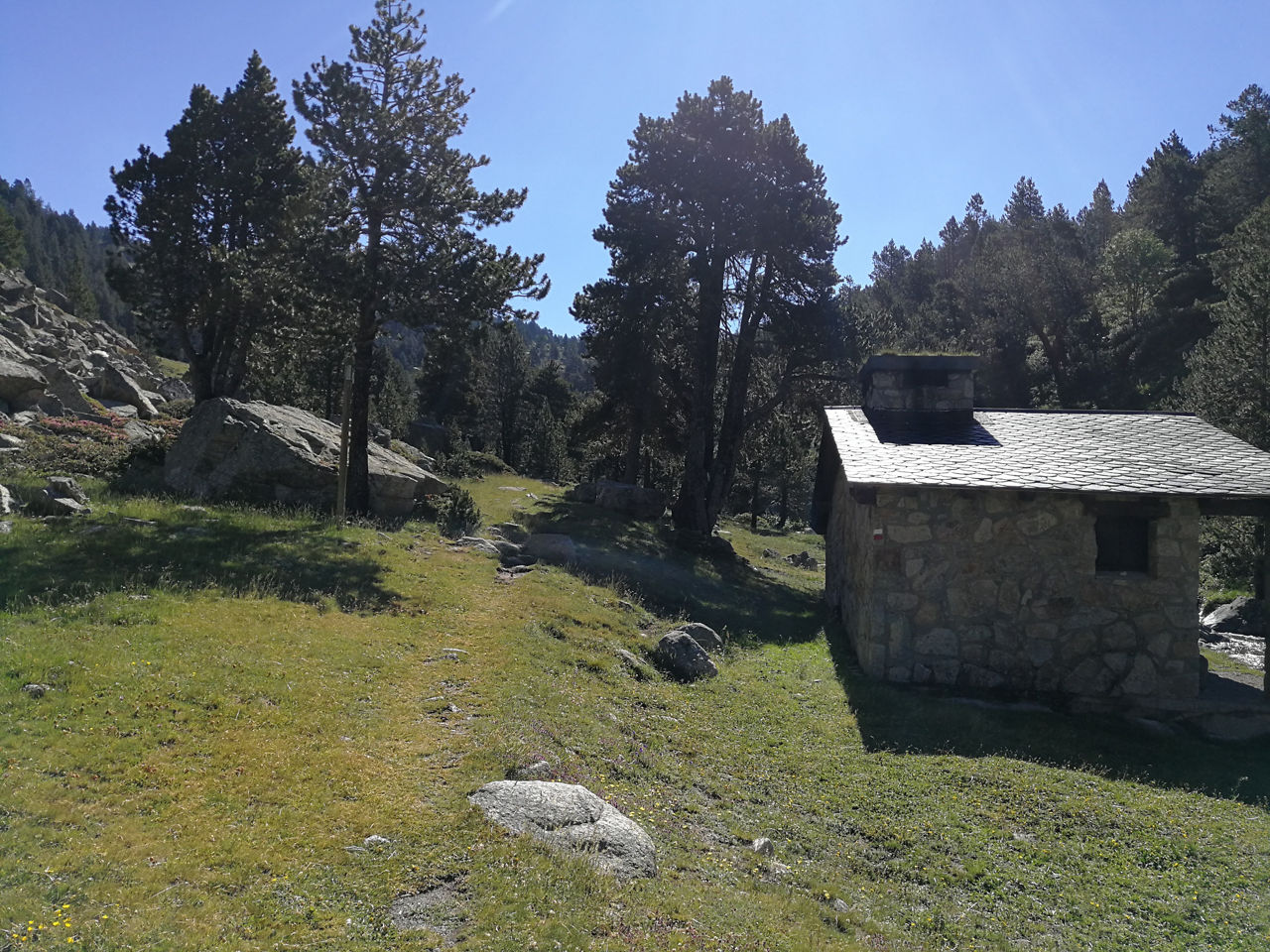
Location
Distance:
33 km
Duration:
More than 1 Day
More than 6 Hours
Elevation gain:
Elevation gain:
+ / -
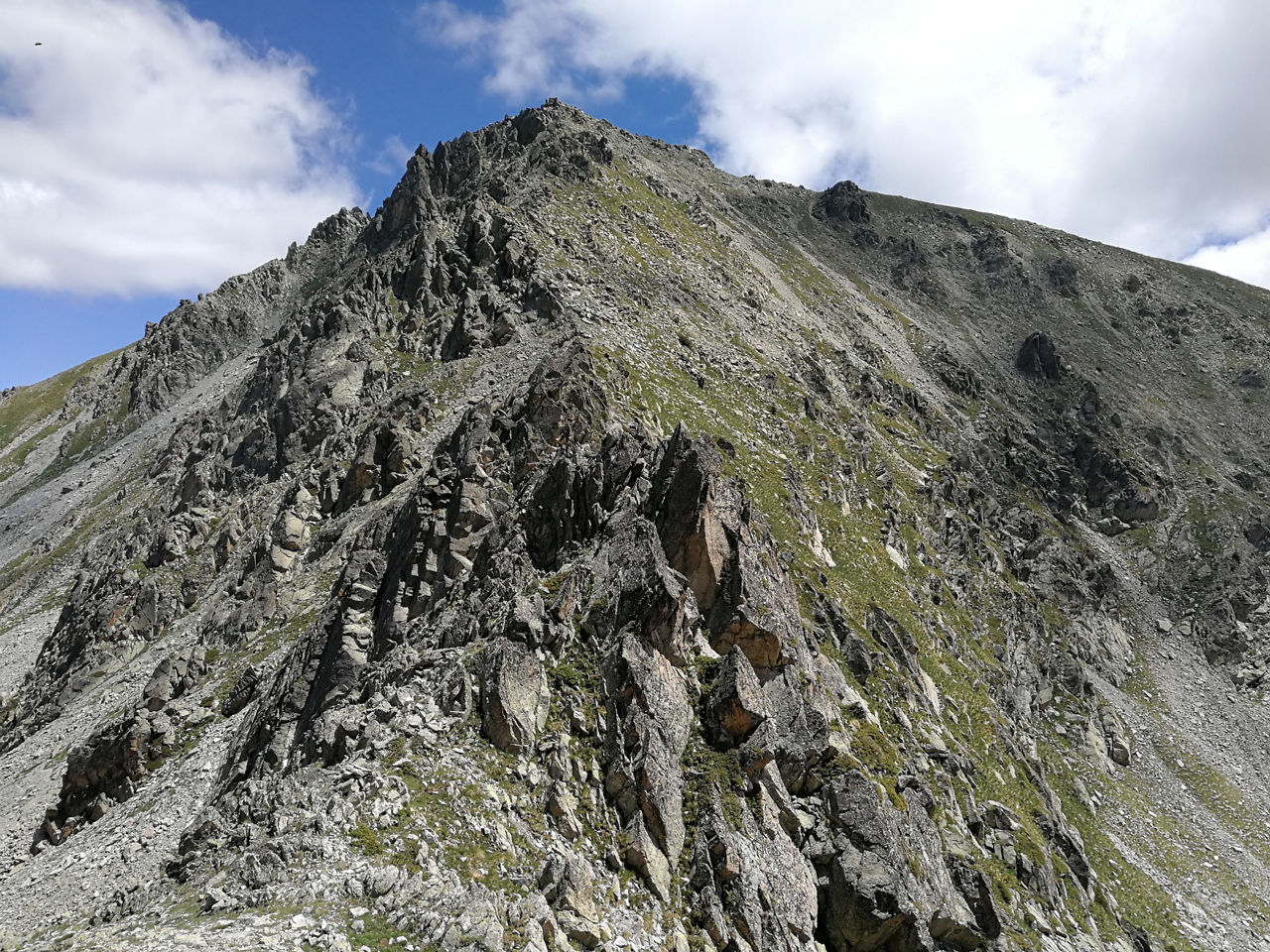
Difficulty level:
Very Difficult