The GRP Andorra, is one of the longest trails, looping around the principality and crossing the Vall de Madriu-Perafita-Claror, as well as the spectacular La Rabassa forest and Lake Juclar, the largest in Andorra. This trail totals almost 120 km, and you can tackle it four different ways - check out the maps for your options!
If you're looking for a shorter, though no less spectacular option for your Andorra hike, why not try the GR 7 or GR 11 (or Pyrenean GR), which come in at just over 40 kilometers each. These trails take you up, making the most of Andorra's altitude-rich terrain, reaching heights of over 2,600m at some points, with the La Collada dels Pessons and La Portella de Sant Antoni on the GR 7, and El Port de Baiau on the GR 11.
Meanwhile, the ARP, or High Pyrenean Route, promises just that - height - if you're looking for a bit of a challenge and are ready to work those leg muscles! And if you want to tick some border-crossing off your list as you hike, the Three Nations route takes in Andorra, Spain and France - a hiking hat-trick! Alternatively, the CORONALLACS or Volta als llacs trail is a chance to enjoy the area's stunning lakes.
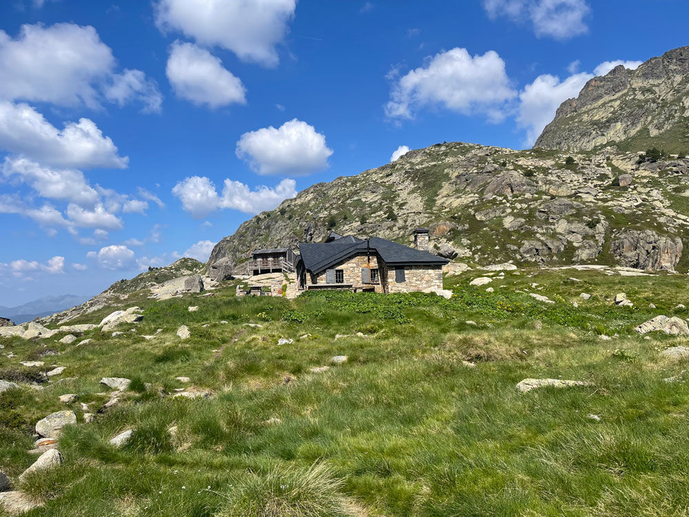
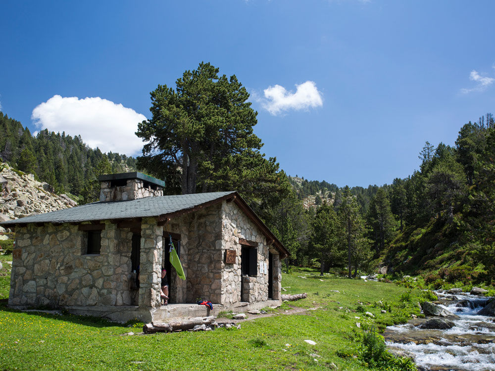
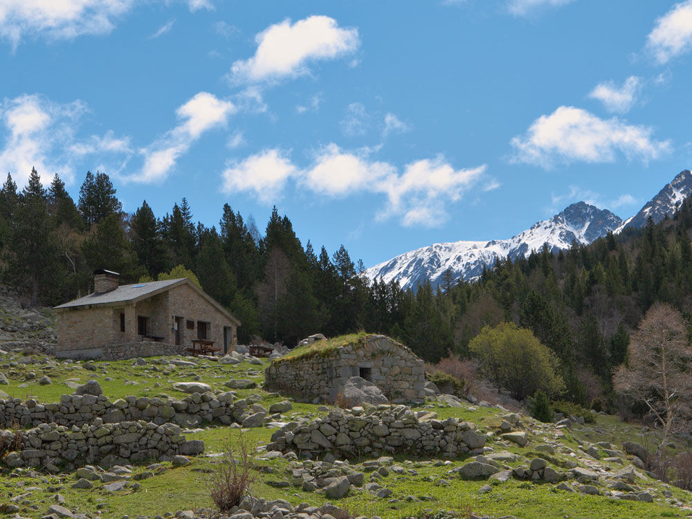
Shelters and mountain lodges
One of the special aspects of these trails is the chance to spend the night in one of their many shelters and mountain lodges. If you opt for a manned lodge, you get all the services any walker might need after a hard day's hiking: a slap-up meal, comfy accommodation and refuge in some of Andorra's most breathtaking locations. For the more adventurous traveler, an unmanned lodge is also a great option: mountain shelters in remote areas which are perfect for bedding down for the night, just without the staff or extra services on-hand.
Downloads and information from the Tourist Offices
If you want to check out all the long-distance trails before you set off, this detailed map has all the info you need: altitudes, trail lengths, handy phone numbers and a list of mountain shelters. You can get one at the Tourist Offices of Andorra!
So now you know - with a long trail GR map of Andorra and its shelters, you're good to go!