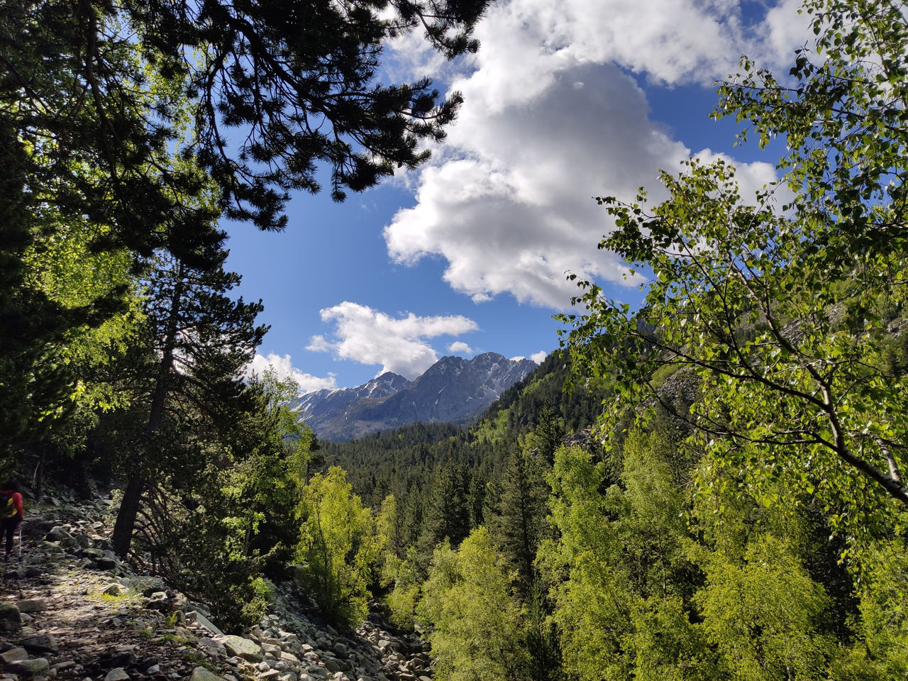
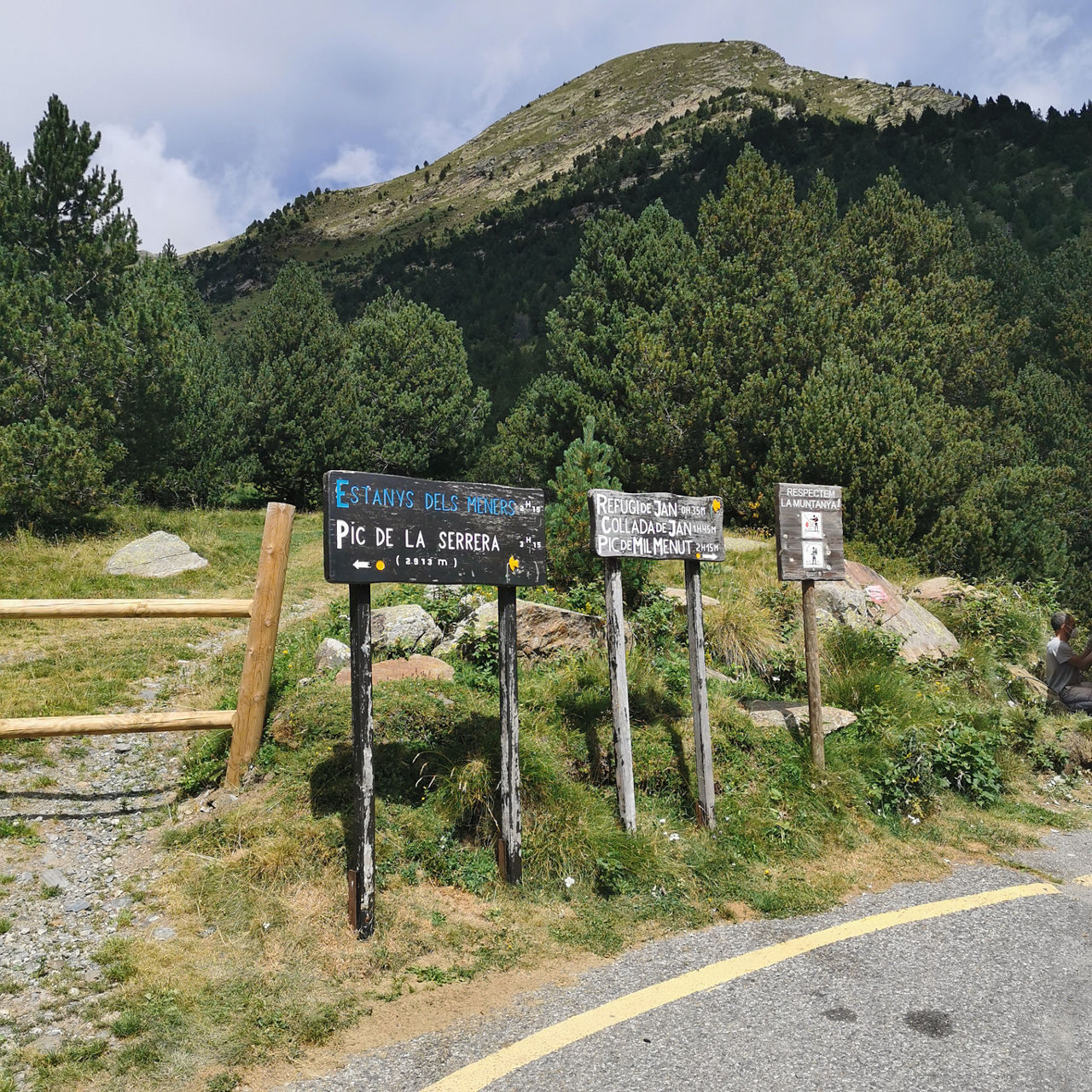
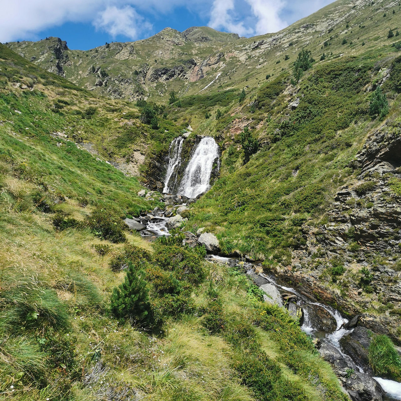
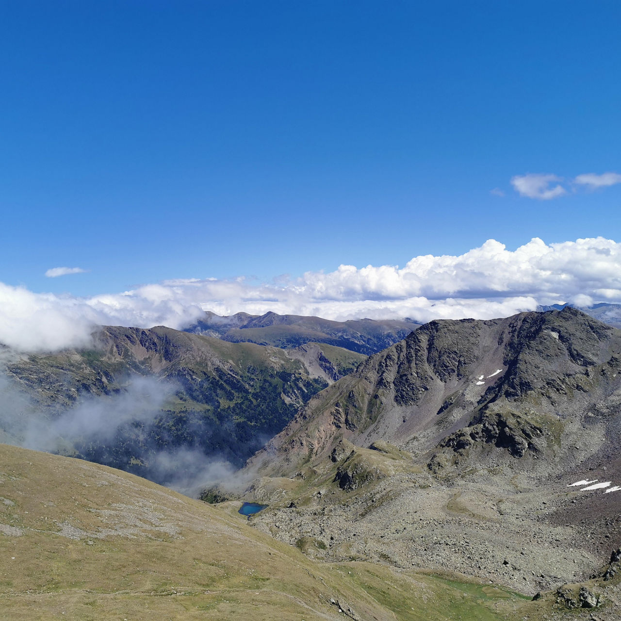
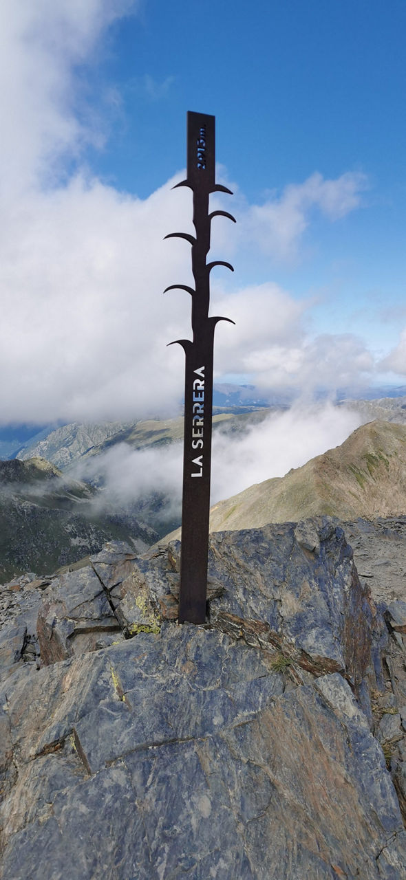
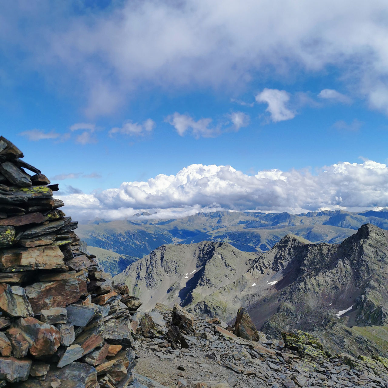
Hiking route: Pic de la Serrera

Location and contact

To find out more

Download the guide in pdf Download track

Distance

4,69 km

Level

Difficult

Height difference

+985 m

This route was very busy in the 17th-19th centuries with the operation of the Principality’s iron mines.

The path to the Pic de la Serrera starts on the road to la Coma de Ransol, after the village of the same name, where we will leave the car. We go round a dry stone wall and climb alongside the course of the els Meners river to the els Clots de la Llosa spring, where a little further up we will cross the river and start to zigzag upwards to the els Meners de la Coma Lake. From this point we will take the path marked with the three yellow spots north west and cross a crest that will take us to the Collada dels Meners, one of the most important iron sites in Andorra.

The last section of the path climbs through the quarry and ends at the La Pedrera peak on the frontier with France, where we have fantastic views of the Ransol Valley, the Vall de Sorteny Nature Park, Pic del Comapedrosa (the highest in Andorra) and, on clear days, even the Pica d’Estats (the highest peak in Catalonia), beyond the Andorran border.

The start of this route is on the road which climbs to la Coma de Ransol, in the parish of Canillo (42° 36' 43",01° 38' 16").

For your safety, we recommend you do the routes at altitudes of over 1,700 metres between the end of June and the end of September. However, if the weather and terrain conditions allow it, the season may extend from May to October.

You will find further details of this and other routes in the Hiking guide Trails of Andorra.

Photos

DOWNLOAD ACTIVE TOURISM

DOWNLOAD ACTIVE TOURISM

Discover a wealth of outdoor routes, with offline maps and detailed GPS tracking. Plan your mountain activities now!
DOWNLOAD ACTIVE TOURISM