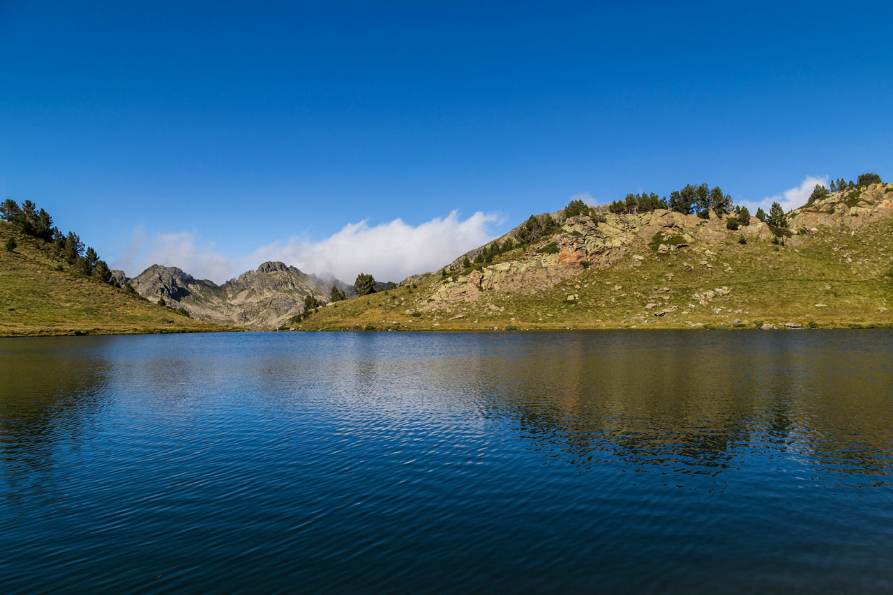
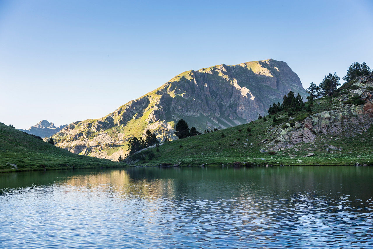
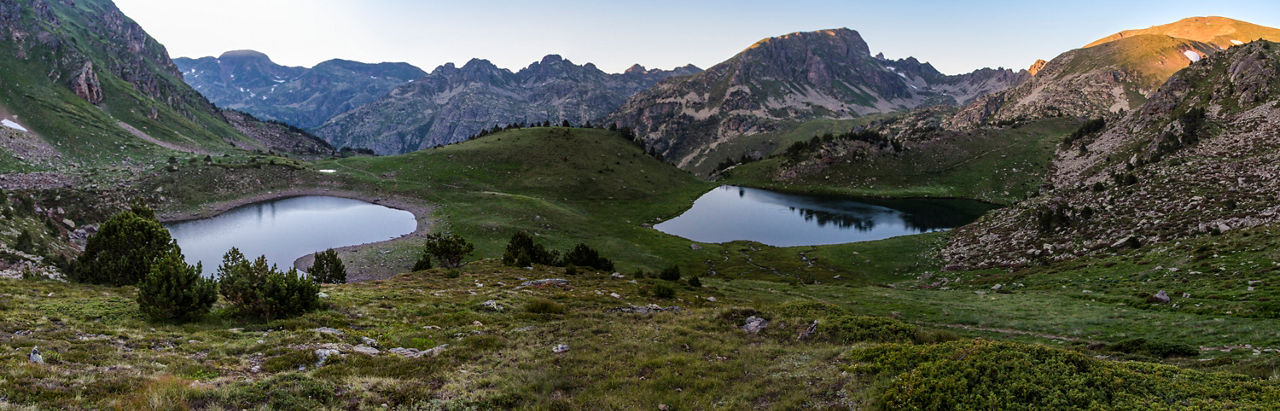
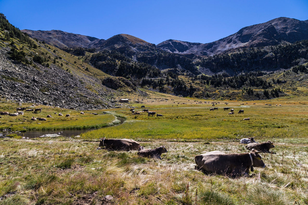
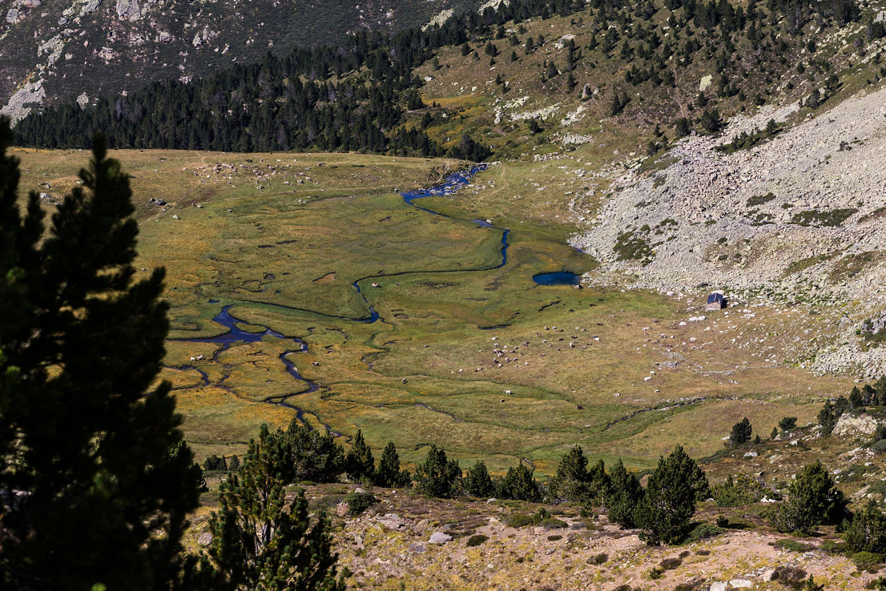
Hiking route: El Siscaró - Estany de Baix

Location and contact

To find out more

Download the guide in pdf Download track

Distance

3,58 km

Level

Moderate

Height difference

+500 m / -10 m

One of the three lakes accessible from the end of the Incles Valley. The others are the Juclà and that of the Cabana Sorda.

To reach the start of the route, we will take the CG-2 towards France and, after the village of El Tarter and a petrol station we take a turning to the left that leads to the end of the Incles Valley, where we will leave the car (we will find a picnic area with a car park). The walk starts with a slight climb surrounded by dry stone walls, mountain pine and alpen roses. Further up we will come to a crossing point where we will go to the right, southeast, and climb alongside the river to the Siscaró lakes.

If we are lucky we will see the odd marmot on the screes. We climb on and find a sign that indicates the path to the Cabana del Siscaró, but we carry on around the lakes and take the path that first takes us to the Basers and then Sicaró Lake, the habitat of the common trout and vegetation that gives the water a greener colour. A large variety of birds also live there, such as the water pipit, the alpine accentor and the northern wheatear, and mammals such as squirrels and roe deer.

The route starts at the end of the road to the Incles Valley (km 3), after the Baladosa bridge, in the parish of Canillo (42° 36' 7",01° 41' 13").

For your safety, we recommend you do the routes at altitudes of over 1,700 metres between the end of June and the end of September. However, if the weather and terrain conditions allow it, the season may extend from May to October.

You will find further details of this and other routes in the Hiking guide Trails of Andorra.

Photos

DOWNLOAD ACTIVE TOURISM

DOWNLOAD ACTIVE TOURISM

Discover a wealth of outdoor routes, with offline maps and detailed GPS tracking. Plan your mountain activities now!
DOWNLOAD ACTIVE TOURISM