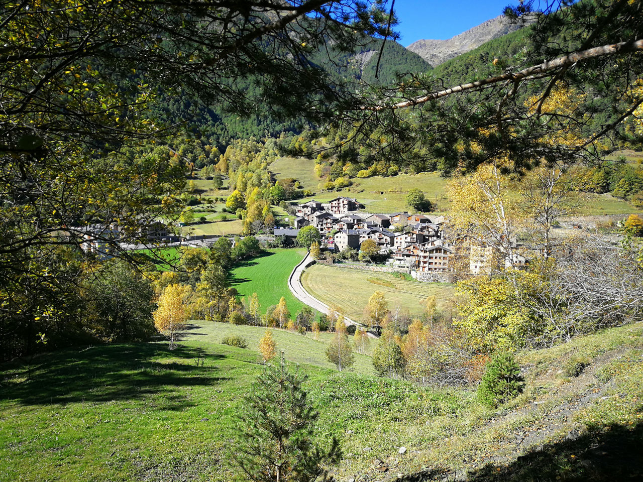
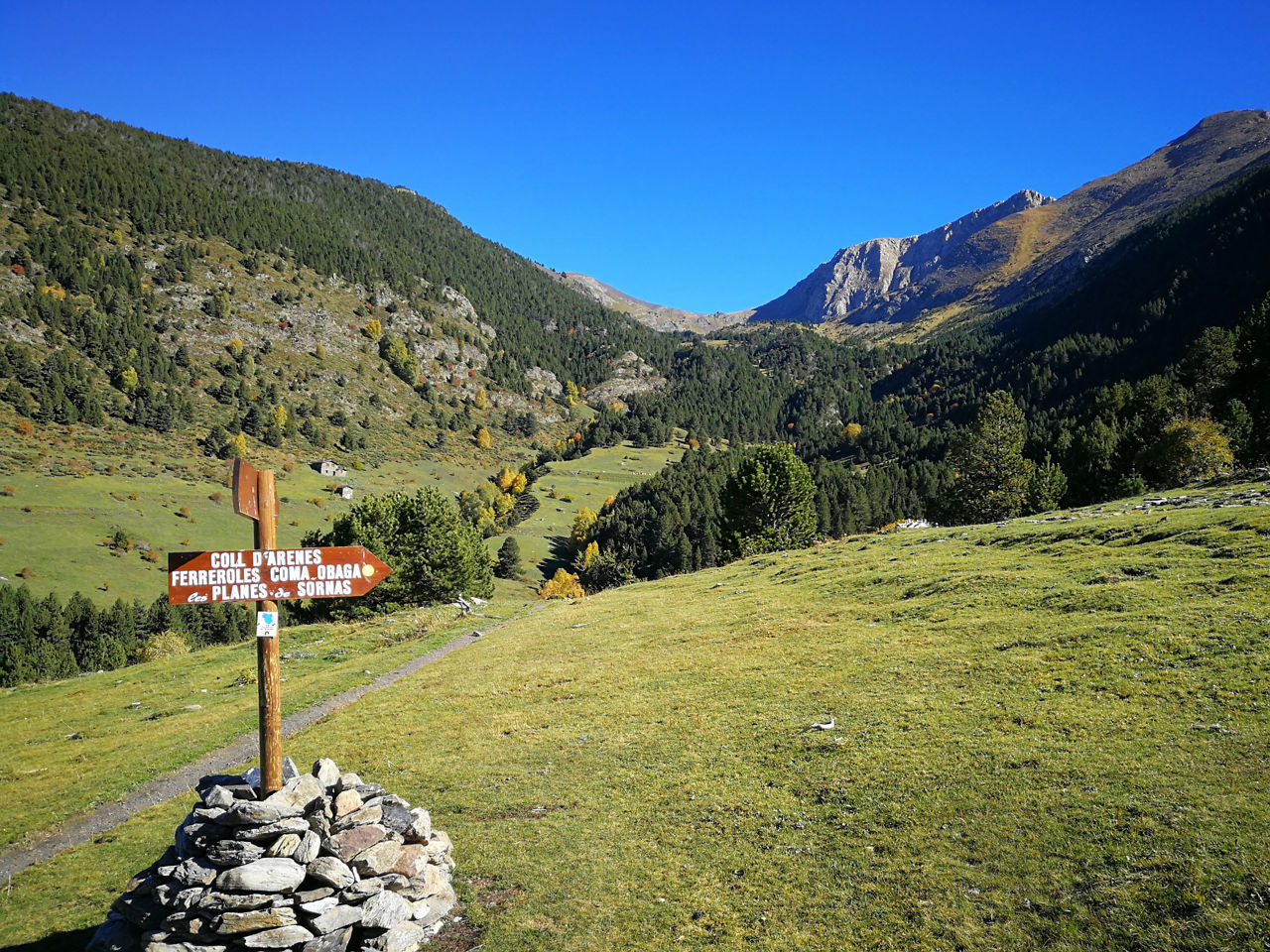
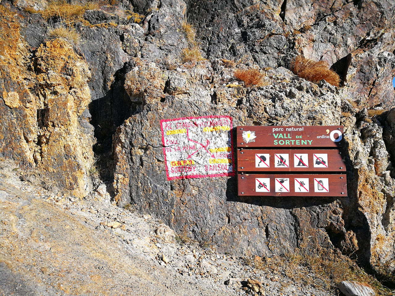
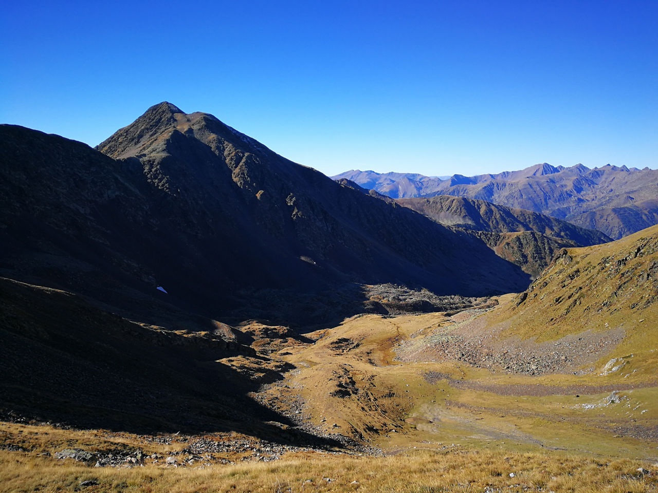
Recreation Trail: Llorts medium-distance route

Locatie en contact

Voor meer informatie

Track downloaden

Afstand

22 km

Hoogte

Matig

If we want to take the Pic de la Serrera, to the Collada de Meners, we will leave the track and we will go to the left, following the yellow marks and the landmarks, caressing without difficulty. We return to the hill to recover the track along the same path. We will add 2km and 200+ to the established route.

We will begin the route in front of the Church of Llorts, where we will find a fountain, and we will cross the road to get down to the Iron Route, which we will continue to the left, by good path and crossing, always with caution, the road in some Point, to reach the nucleus of El Serrat. After a bend in the road, we will find the sign that tells us that we enter the Natural Park of Sorteny, and indicates the path to the refuge, where we will arrive after a steep stretch.

We will leave the refuge to the right, and we will follow the GR, planning between trees, until crossing the Rio de la Cebollera, where we will take a steep climb up to Pas de la Serrera, a gate that will take us to the Pleta de la Serrera and later to the Pleta de Sorteny, plans from which we will see the Collada de Meners, where we will arrive after a last stretch of pre-salt rise.

We turn to the right, following the track and the yellow marks, and we will be extremely careful in this section, where we will find the strings that will help us at some point to overcome the ridge, until the final shovel, very right, that we will overcome by decomposed stone, where we will help our hands to overcome it, until reaching the summit, with the last stretch more comfortable. From Pic de la Cabaneta we will see the Pic de l'Estanyó, the next objective and one of the Andorran giants, with 2915m high, where we will arrive without any difficulty, after crossing a grassy hill and making a short shovel by path .

We will crown the Pic de l'Estanyó, with its great milestone, and we will continue along the ridge, following the yellow points at all times. Generally aerial but without danger, only in a short stretch we will help our hands. After the long ridge, we will arrive at a stretch, signposted, from where we will see Coll d'Arenes, a wide pass where we will arrive after a fun final peak.

On the hill, where we will find signs, we turn right to begin the last descent of the route, always by path, first for meadow and later in the forest. The descent will give us a break at the height of Bordes del Ensegur, which we will see on our right, where we will turn right for meadow until we find a vertical signpost, where we turn to the left and follow the indications of "Llorts", which will guide us to a rapid descent, making zigzags between trees, which will leave us again on the Iron Route, in front of the village, and we will reach the starting point in a gentle ascent.

WATER: Llorts / Sorteny refuge km 6 / Torrent under Coll d'Arenes km 17

SLUITEN
Meer lezen

Foto’s

DOWNLOAD ACTIEF TOERISME

DOWNLOAD ACTIEF TOERISME

Ontdek de talrijke routes in de buitenlucht met offline kaarten en een gedetailleerde GPS-tracking. Plan je activiteiten in de bergen!
DOWNLOAD ACTIEF TOERISME