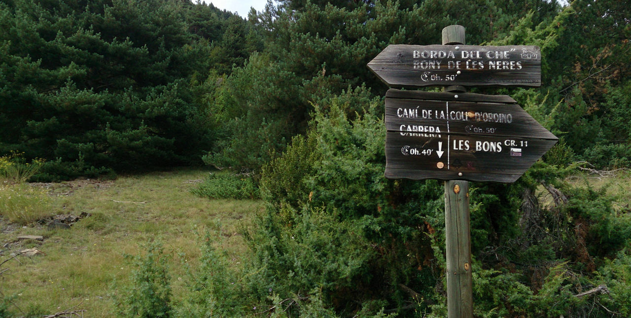
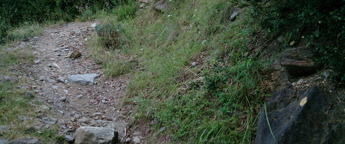
Recreation Trail: Bony de Neres: Extremely Steep Trek

Locatie en contact

Voor meer informatie

Track downloaden

Afstand

3 km

Hoogte

Moeilijk

Start out in front of the Tourist Office, and go towards the back of the Sports and Cultural Centre, where you’ll begin the ascent up a steep slope. It’ll soon turn into a path that rises sharply in a series of short zigzags.

When you get to the fountain, take the path to the left. Follow the yellow markers up the slope which gradually gets steeper and climbs higher – in the last section you might find you need to use your hands.

After a much flatter section around 200 m long, you’ll reach the summit at last where you’ll be able to catch your breath!

Then it’s back down along the same route, or back via the Coll d’Ordino along the GR to Encamp.

WATER. All services in Encamp. Fountain at the altitude of 1600 m approx.

DOWNLOAD ACTIEF TOERISME

DOWNLOAD ACTIEF TOERISME

Ontdek de talrijke routes in de buitenlucht met offline kaarten en een gedetailleerde GPS-tracking. Plan je activiteiten in de bergen!
DOWNLOAD ACTIEF TOERISME