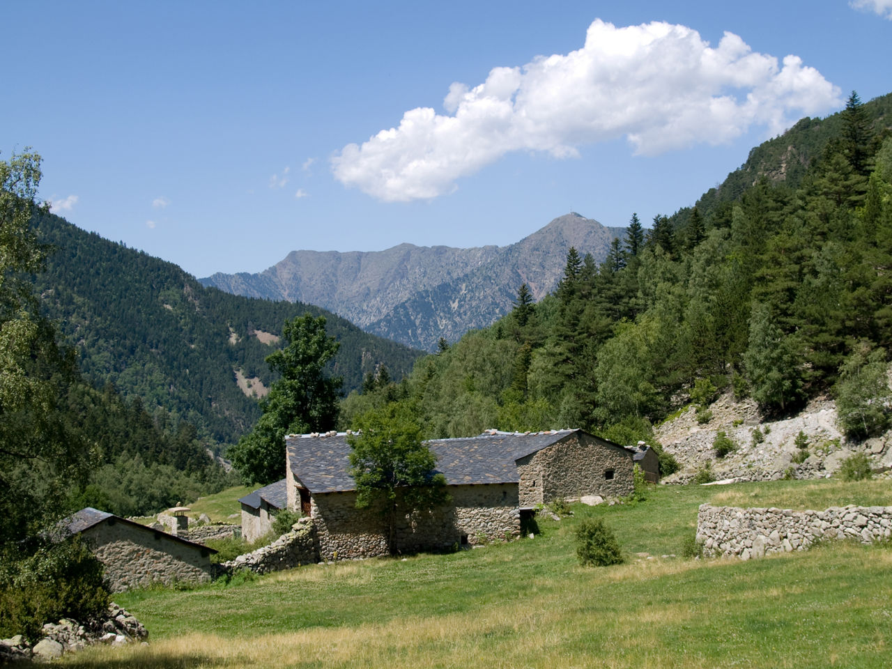
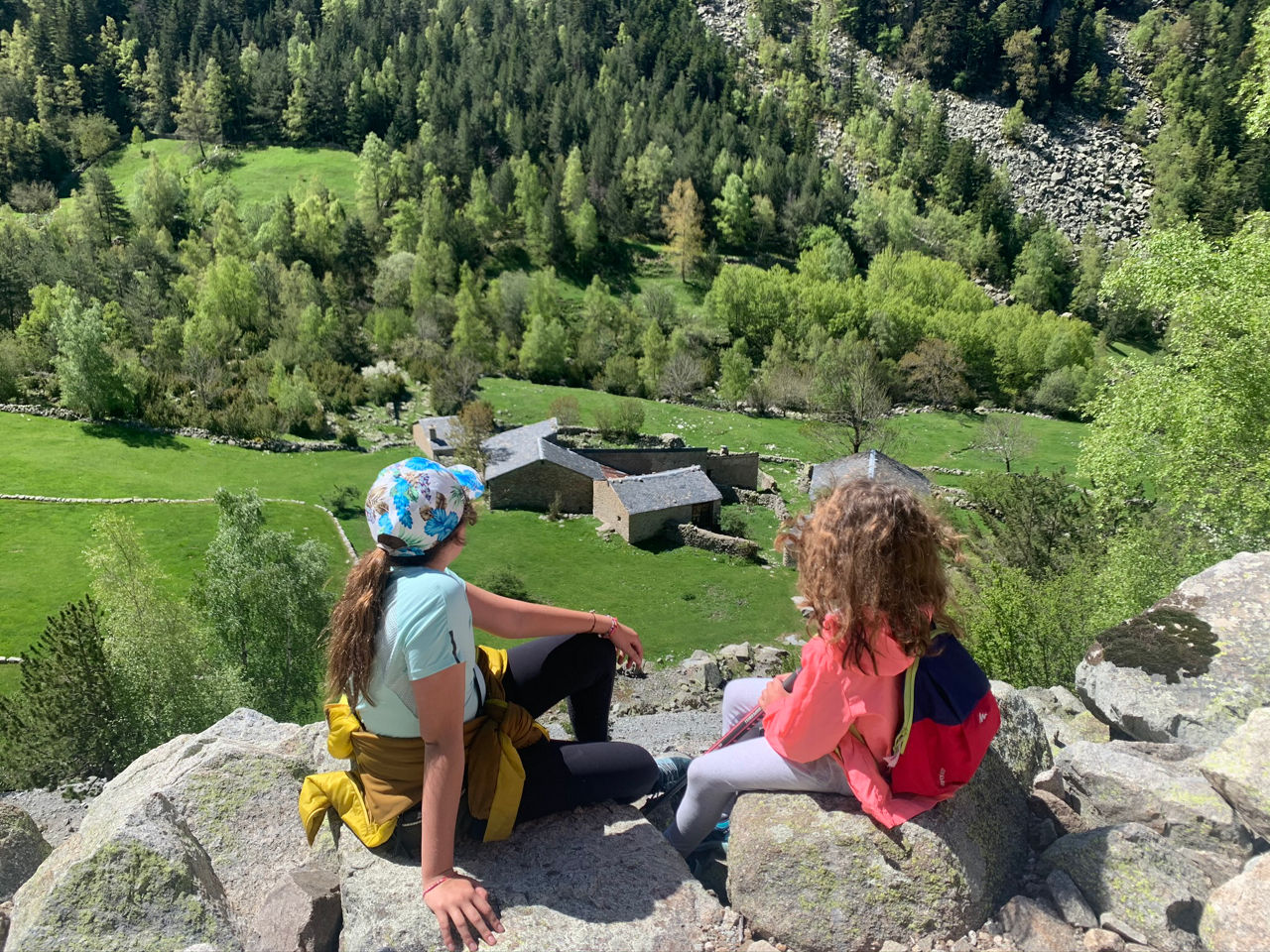
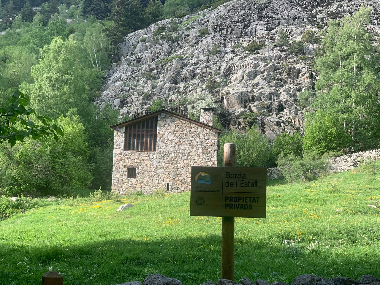
Hiking route: Volta a Ràmio

Locatie en contact

Voor meer informatie

Track downloaden

Afstand

8.27 km

Hoogte

Matig

Hoogteverschil

+548 m / -546 m

Listed as a UNESCO World Heritage Site in 2004, the Madriu-Perafita-Claror Valley is a place that you just have to see for yourself. The Volta a Ràmio route is the easiest way to access it and be awed by the relationship created between humans and nature over the centuries and which has even been preserved even to the present day in this ecosystem of great biodiversity.

In this landscape, nature puts on a real display of colours and life, especially in spring and summer, not to mention the colours that appear in autumn, along with the human elements integrated into it. Stone paths, traditional farm buildings known as ‘bordes’, remains of old forges, shepherds’ huts and dry stone walls are testament to the traditional activities and trades that were carried out in harmony with their surroundings, creating an environment that’s not only one of a kind in Andorra, but also in the entire Pyrenees region. The tinkling of the bells on the cows and horses that graze here until well into the autumn are clear evidence that activities such as livestock farming are still practised here today. 

The route is fully signposted and although it doesn’t pose any technical difficulties, it does require a minimum level of physical fitness to be able to do it in the best possible conditions and so you don’t miss any of the treasures hidden here.

The trail leaves from the Font de la Closa car park, at Pla d’Engolasters, following the trail along this canal, then taking the Coll Jovell trail. Once past this point, follow the partially paved Matxos trail (GR11), but where it goes down to the Ràmio Bordes, in the bottom of the valley. From this point, the route goes up to Font Verd, along the Muntanya trail (GR7-GR11), accompanied by the sound of the River Madriu itself. After going past the Estall Borda, you’ll reach Font Verd, where in addition to the huts, you’ll find the refuge of the same name, at the highest point of the route (1875 m). For the return journey, take the Sola de Ràmio trail to Coll Jovell, where you go down along the Matxos trail (GR11) and the Canal de la Tosa trail until reaching the Closa Fountain, the end point of the route.

For your safety, we recommend doing all routes above 1,700 metres between the end of June and the end of September. However, if the weather and terrain conditions allow it, the season may extend from May to October.

You’ll find other routes to do in the Trails of Andorra Hiking Guide.

SLUITEN
Meer lezen

Foto’s

DOWNLOAD ACTIEF TOERISME

DOWNLOAD ACTIEF TOERISME

Ontdek de talrijke routes in de buitenlucht met offline kaarten en een gedetailleerde GPS-tracking. Plan je activiteiten in de bergen!
DOWNLOAD ACTIEF TOERISME