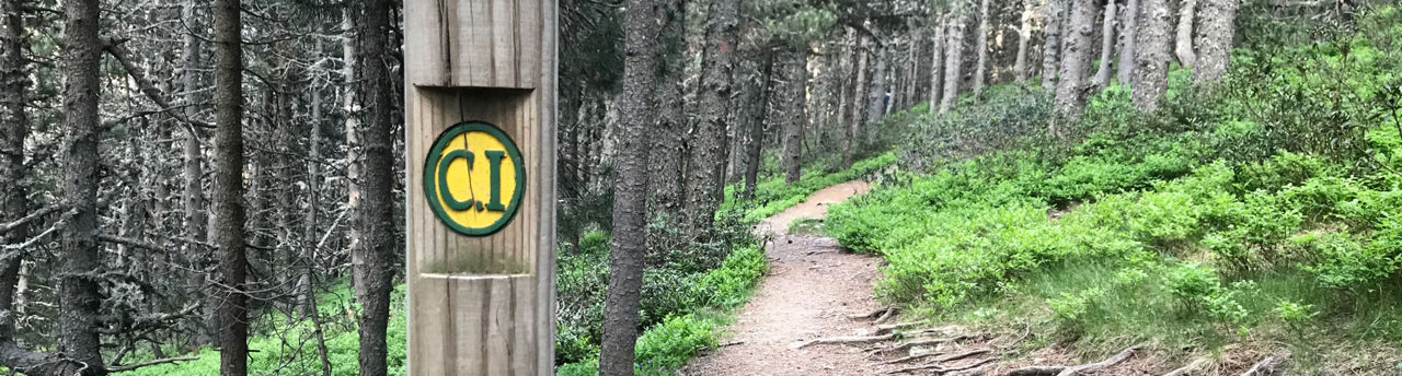
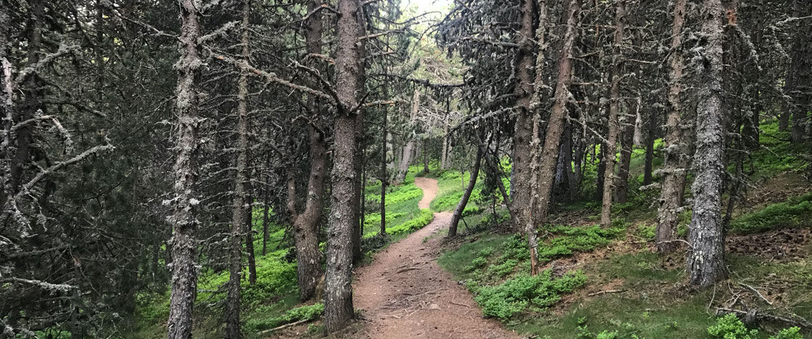
Hiking route: Tomb de les Neres

Locatie en contact

Voor meer informatie

Track downloaden

Afstand

8 km

Hoogte

Matig

Hoogteverschil

+200 m / -200 m

This route around Bony de les Neres (2,212 m peak) is not particularly difficult, crossing the forests and meadows of Canillo, Encamp, La Massana and Ordino. Although it's a circular route that can be started from various points and which you can do in whichever direction you like, we recommend starting from the Coll d'Ordino pass, the most accessible point, towards the Canillo hillside.

The starting point is at the head of the Coll d’Ordino pass (CS-240), just on the edge of two parishes (Canillo and Ordino). There is a panoramic orientation table and a descriptive panel on the esplanade by the parking area. The route is well signposted, with markers along the way. It features several springs, two picnic areas and viewpoints with simply spectacular panoramic views.

Tomb de les Neres is a route packed with splendid sights, making it a perfect one to do with the kids. Forests of pine and other species, flora, fauna and spectacular conical anthills like small mountains combine with views of the landscapes over the valleys and various mountains, including Casamanya and Comapedrosa.

Tomb de les Neres starts on a track on the Canillo hillside that goes into the forest of La Tosa, where one of the water springs can be found. Leaving Canillo behind, you arrive at the forest of La Plana Blanca (black pine), in the heart of Encamp, where you'll be treated to spectacular views over the valley, the Camí de les Pardines trail and Lake Engolasters, just opposite. The route then becomes denser as you enter the forest of La Plana (red pine and birch), on the La Massana hillside. Here, you come to one of the landmarks on the route, the Estall pass. From here, you'll enter the Coll d’Ordino forest, containing fir trees over 20 metres high. Once you cross the road, you reach the Font de la Navina picnic area. It's worth mentioning that this is one of the points with the biggest uphill climb along the whole route, luckily near the end. A little further on, you'll find yourself back at the starting point: the panoramic orientation table, which, by the way, is very close to the trailhead up to Casamanya (2,740 m), one of Andorra's most famous mountains.

Breathe in the peace and tranquillity of the Tomb de les Neres route. Let yourself be accompanied by the song of the great diversity of birds that live there, the smells and the beauty of the flora and the landscapes on offer. It's a walk well worth doing!

For your safety, we recommend doing all routes above 1,700 metres between the end of June and the end of September. However, if the weather and terrain conditions allow it, the season may extend from May to October.

You’ll find more details about this and other routes in the Trails of Andorra Hiking Guide.

SLUITEN
Meer lezen

Foto’s

DOWNLOAD ACTIEF TOERISME

DOWNLOAD ACTIEF TOERISME

Ontdek de talrijke routes in de buitenlucht met offline kaarten en een gedetailleerde GPS-tracking. Plan je activiteiten in de bergen!
DOWNLOAD ACTIEF TOERISME