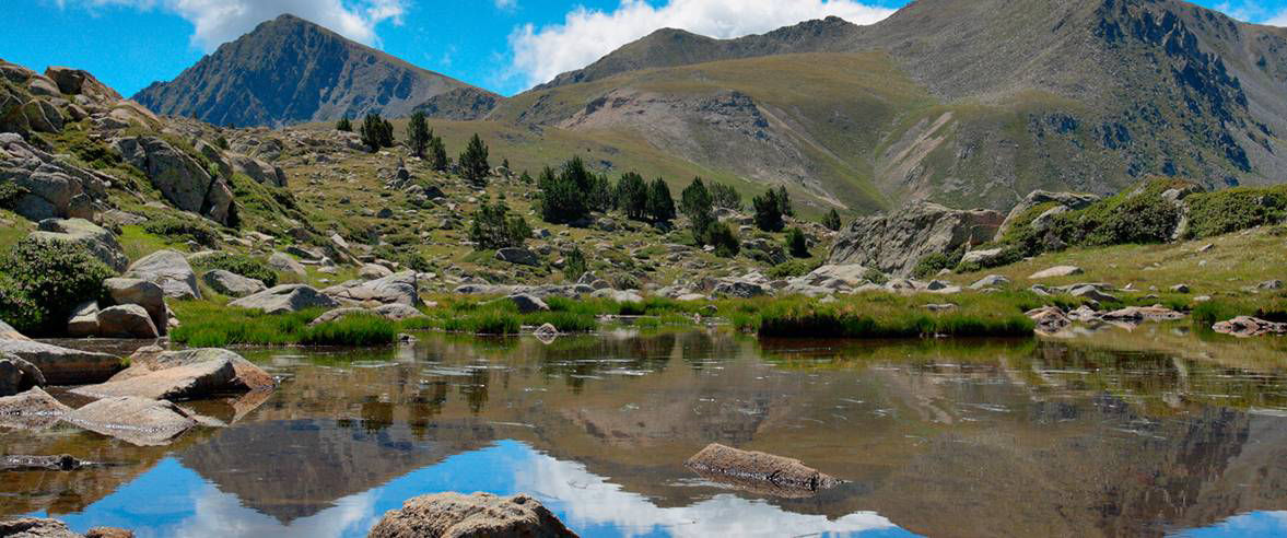
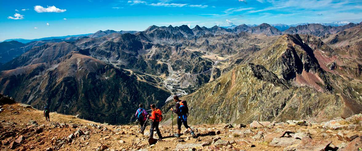
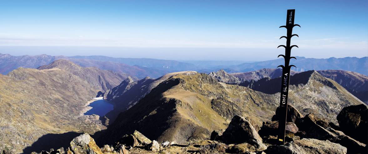
Hiking: High Pyrenean Route

Locatie en contact

Voor meer informatie

Download de kaart in pdf-formaat Track downloaden

Afstand

40 km

Hoogte

Matig

Hoogteverschil

+2800 m / -2800 m

Discover northern Andorra with the High Pyrenean Route. A route for hikers looking for new challenges following the GRs that run through the country. 

Difficulty: Moderate
Distance: 40 km
Elevation change: 2,800 m

Although there are different versions of this route, we propose that you follow an optimised route marked as a GR throughout its length and all within Andorran territory.

Entering Andorra from the west, via the mountain pass of Arbella, follow the route of the cross-border GR known as the “Three nations route” to the town of El Serrat. From here take the GRP (Gran Recorrido de País or countrywide long-distance route for hiking) through the Sorteny Valley Natural Park, passing through Coma de Ransol and the Incles valley to the Manegor valley, where you will find the cross-border GR, the “Lakes route”.

Follow this until you reach the staffed mountain refuge of Juclà, passing the Siscaró lake, and through the Port Dret mountain pass where you will enter Solana de Andorra (northern slope). We recommend that you make a stop to recover your strength in the mountain refuge of La Portella. When you resume the route you should follow the path to the Coll dels Clots, having now entered France. From here descend to the village of Hospitalet-près-l’Andorre, from where you can continue towards the mountain refuge of Bésines.

You will need two to three days to complete the route, depending on your physical condition, the availability of mountain refuges (free or staffed) or hiking hotels, and the pace you decide to adopt during the route, allowing yourself to enjoy the natural environment as much as possible.


Access the Map of shelters and long distance trails in Andorra with all of the details of the route.
Access the information and advantages of the Huts Passport of Andorra.

SLUITEN
Meer lezen

Foto’s

DOWNLOAD ACTIEF TOERISME

DOWNLOAD ACTIEF TOERISME

Ontdek de talrijke routes in de buitenlucht met offline kaarten en een gedetailleerde GPS-tracking. Plan je activiteiten in de bergen!
DOWNLOAD ACTIEF TOERISME