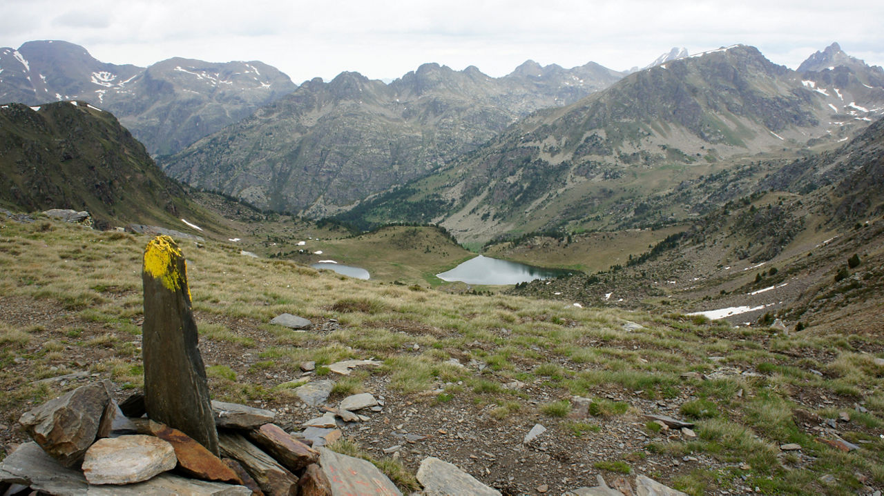
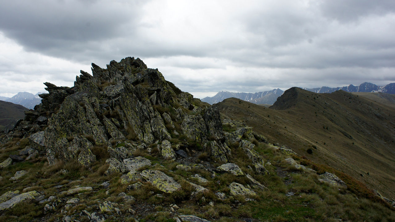
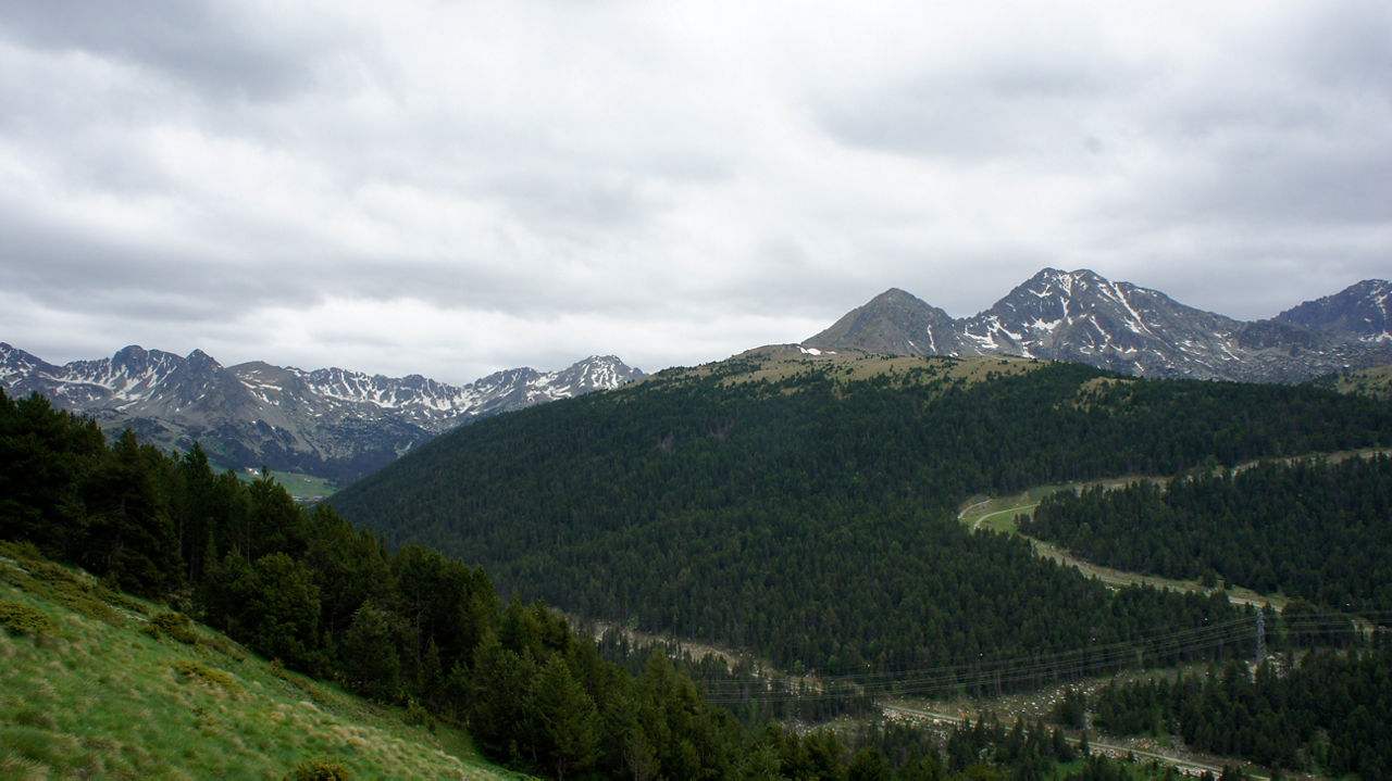
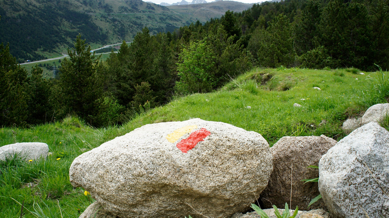
GRP-run STAGE 03

Useful information

  • Difficulty level: Moderate
  • Elevation gain: +2.440 m / -2.691 m
  • Distance: 35,91 km
  • Duration: More than 6 Hours
  • Stages: 1
  • Route type: Trail Running

Starting at the Soldeu tourist office and arriving in the village of Serrat, this will be an easy and not very demanding route to follow, especially due to the average altitude which will be above 2200 metres. We advise against doing it unless there is a very favourable weather forecast, because fog or heavy rainfall could cause serious problems. The route has markings that will constantly guide you, with the exception of some sections where this won't be an issue, yellow dots corresponding to communal paths (CC), red and white GR markings, and mostly the red and yellow GRP markings.

In addition to the safety equipment that is essential on high-mountain routes, we recommend that you bring a mini water purifier and water purification tablets to safely fill your hydration bag. You will come across streams of water regularly along the route, but beware of droughts.

Leave from the Soldeu tourist information office. Head down to the ski slopes towards the first ski lifts and take the slope on the left. This will lead you through the shade to the point where you left the GRP in the previous stage (approximately 2.5 km). Just past the Pla de les Pedres Shelter, you will leave the track with a left turn and descend parallel to the stream that feeds the Valira d'Orient river. Cross the road with caution and go up the shoulder a few metres until you find the entrance to the Camí dels Clots de Massat. First climb to Port Dret and Pic d'Ortafà where you can enjoy exceptional panoramic views. Descend towards the Siscaró lake and continue down to the shelter (Siscaró Shelter). Now it's time to maneuvre around Tossa de Juclar, a fairly technical area where you will have to have your wits about you. You will reach the Juclar Shelter, where you can stock up on provisions. Head back from where you came for 500 m or so to continue the route through the Solana de Juclar and you will find the Manegor River that crosses the beautiful Incles Valley (a good escape route if the day gets complicated). Here you will begin a tough 4 km climb that passes by the Estany de la Cabana Sorda and its shelter. Continue climbing until you reach the top of the pass, which will leave you on a spectacular, long and fun penultimate descent with spectacular views of the Pic de la Pala Alta on your left. Pass through the Coms de Jan Shelter, at the foot of the Bony de la Pala de Jan, which you will flank as you ascend. The long climb is divided into two sections that will leave you at the impressive Collada de Meners, a place worth stopping if the weather is good since at 2700 metres up it is the heighest point of the stage. On the left, you will see the peak of the Pic de la Cabaneta, which has accompanied you throughout this climb. From here you enter the territory of the Sorteny Valley. If you still have the legs, you can turn on the gas all the way down to the Sorteny Shelter. The views on your left are truly spectacular throughout the descent, with an enormous mountain range that culminates with the Pic de l'Estanyó. After passing the shelter, first on the track and along an entertaining path, you will reach the end of the stage, going down a short stretch of road and a beautiful path, to the village of Serrat.

Posizione

Distance: 35,91 km
Duration: More than 6 Hours
location-image

Elevation gain:

Elevation gain: +2.440 m / -2.691 m
Difficulty level: Moderate