What is the GRP-run?
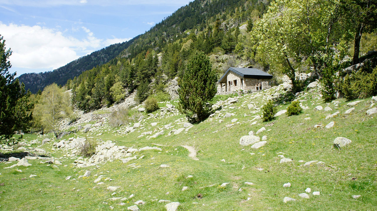
The GRP (Grand Country Route) is the route that takes you around 'the top' of Andorra and links the four staffed mountain shelters in the country. The GRP-run has the added advantage of being able to take on the challenge with light equipment, sleeping comfortably in the wide variety of tourist accommodation options that the country offers.
The original GRP route has been adapted so that the start and end of each stage is at a tourist information point easily accessed by public transport or taxi.
The result is five tough stages that will give you a pretty good idea of the country's spectacular nature. Please note the following:
GRP-run: 161 km | 10500+
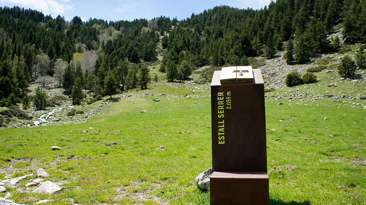
STAGE 1 (Sant Julià de Lòria – Escaldes): 38.84 km | 2448+ | 2302-
STAGE 2 (Encamp – Canillo): 37.31 km | 2370+ | 2108-
STAGE 3 (Soldeu – El Serrat): 35.91 km | 2440+ | 2691-
STAGE 4 (El Serrat – Arinsal): 19 km | 1286+ | 1311-
STAGE 5 (Arinsal – Sant Julià de Lòria): 29.96 km | 1659+ | 2323-
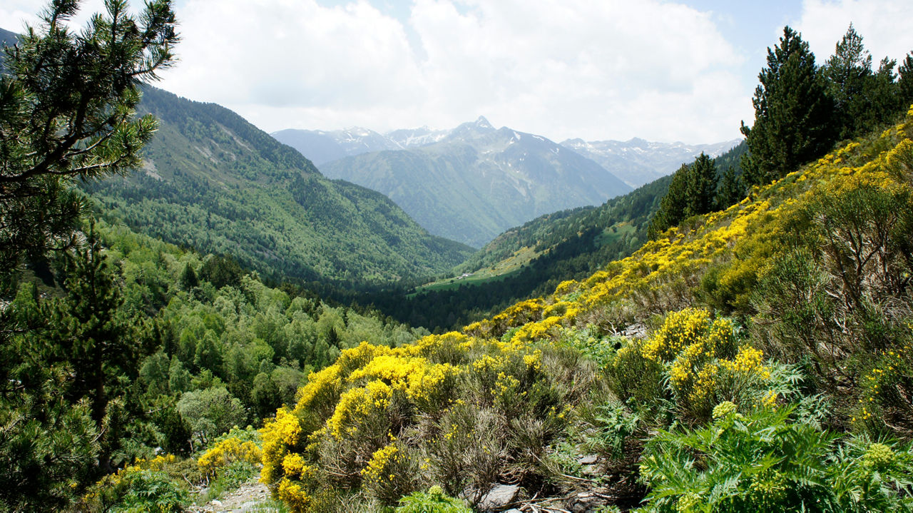
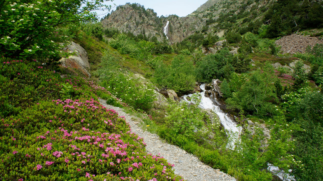
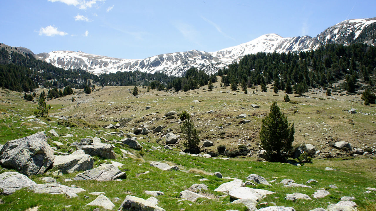
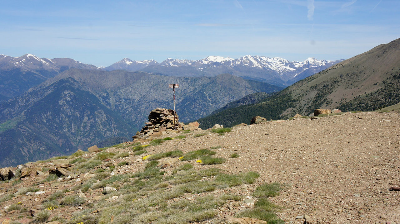
This is an opportunity to get to know the wonderful country that is Andorra, make your way around it at altitude and explore its villages and beautiful valleys.
Difficulties and requirements
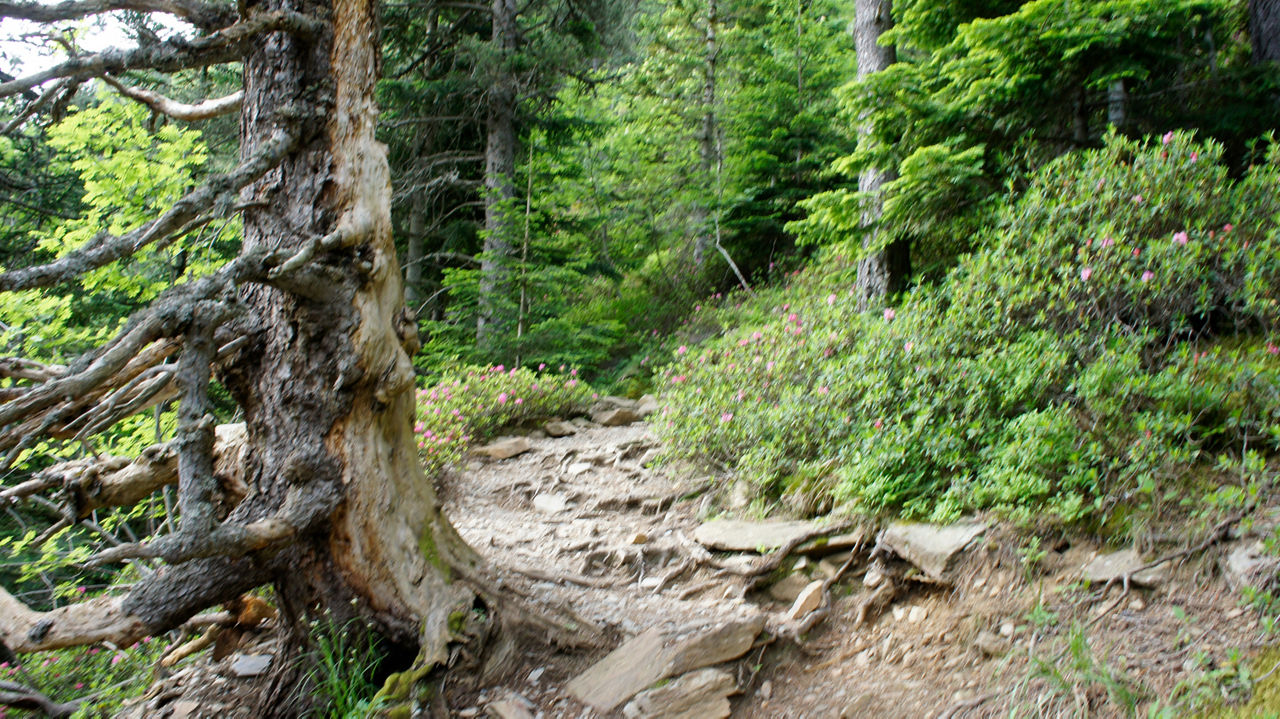
The stages are slower and longer than the numbers might imply. Strong and prolonged uneven, complicated terrain where it is difficult to run, changing weather conditions, muscle overload, falls, bumps and discomfort are elements that you must know how to overcome. In addition, you must know how to orientate yourself and navigate with GPS and maps in case you need to find an escape route if there are complications.
Beating the GRP-run is a unique experience that is sure to test you, whoever you are.
With this introduction you will have understood that this is a challenge reserved for trail runners with experience at altitude, in spectacular physical condition and with enough sense not to complicate matters unnecessarily. If you do not meet these requirements, do not continue reading; train, learn and come back when you do: the GRP-run can wait.
The OTR challenge
If you want to add a competitive component, you can record your stages through the Open Trail Races (OTR) app. This option allows you to compare your times and rank in an open and permanent leaderboard, either by individual stage or by the total route.
You'll always have the opportunity to improve your times. But remember: using the app is optional and is not part of the essence of the challenge.
Practical recommendations
Each stage begins and ends at tourist information offices or points, so you'll have somewhere you can ask any questions you might have.
We recommend that you don't do it alone, as these are long stages and anything can happen... In this case, better with company than alone. And what could be better than sharing a challenge such as this one with that person who pushes you to go further?
We recommend that you purchase an Andorra Telecom card for your mobile phone, either at the company office or at any tourist information office. This way, if you take on the challenge, you can be geolocated and followed on a map from the OTR website with ease. And if you're not following the challenge route, it's essential for your safety.
We recommend you take the time to plan each stage in terms of transport and timetables, especially if you plan to return to the starting point or hotel by bus.
If you follow the OTR challenge, we recommend you bring a charged external battery as this app drains your battery and your phone is an important safety tool in the mountains. You can't run out of battery.
Essential or recommended material:
- Trail running shoes that grip well on loose, muddy terrain.
- Water purification filter and water purification tablets.
- Bottles, soft flask or hydration bag.
- Trail running backpack.
- Waterproof trousers and a jacket with a membrane or windbreaker if the weather requires it.
- First aid kit, thermal blanket and whistle.
- Cap, or hat and gloves depending on the day's minimum temperatures.
- Food reserves, water and mineral salts.
- GPS watch with loaded tracks.
- Phone with a SIM card that works in Andorra with a map app and tracks loaded (double security).
- Map and compass (if you know how to use them).
- Cash (in case you want to buy provisions at a shelter).
- Telephone numbers you may need written down on paper.
- A European Health Insurance Card or accident insurance that covers you in Andorra.