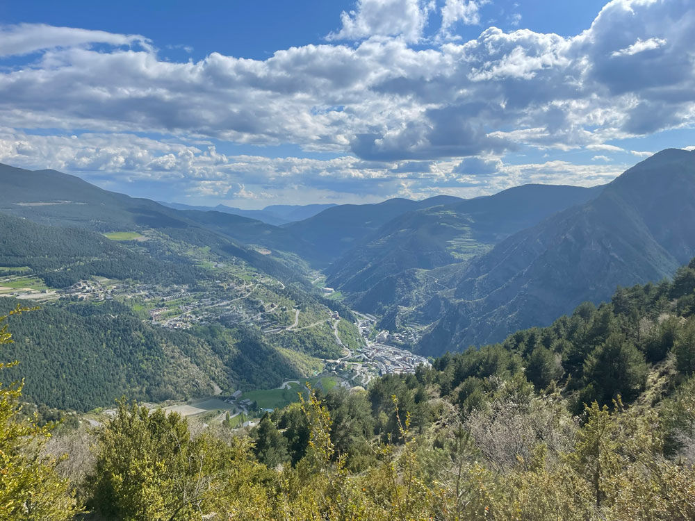
GR7: Andorra, d'est a sud

Informazioni utili

  • Livello di difficoltà: Difficile
  • Dislivello: +3 m / -2 m
  • Distanza: 44 km
  • Durata: Più di 1 giorno Più di 6 ore
  • Tappe: 1
  • Tipo di percorso: Trekking

The GR7 forms part of the European Grande Route E4 from Greece to Gibraltar. It covers 40 km on its way through Andorra. It enters the country from France through Portella Blanca (alt. 2,521) and crosses the principality to Catalonia, dropping out of Andorra through the Farga de Moles (alt. 850).

Access the Map of shelters and long distance trails in Andorra for further details.
Access the Huts Passport of Andorra.

Posizione

Distanza: 44 km
Durata: Più di 1 giorno Più di 6 ore

Dislivello:

Dislivello: +3 m / -2 m
Livello di difficoltà: Difficile