Recreation Trail: Angonella medium-distance route

Circuit mitja distància Angonella

Posizione e contatto

Ulteriori informazioni

Scarica il percorso

Distanza

22 km

Livello

Medio

We start the route to Arinsal, in front of the Parc Interpretation Center, at the first meters, always following the GR, which will then take us up by asphalt until we find the beginning of the path without loss and a strong rise, will lead us to crown the Coll de Cases, from where we will enjoy fantastic views.

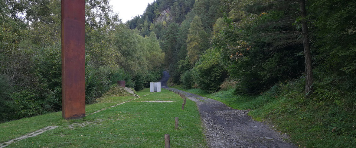
We will begin a rapid descent to Arans, where after a short stretch of asphalt, and cross the road with caution, we turn left to continue until LLorts along the Iron Route.

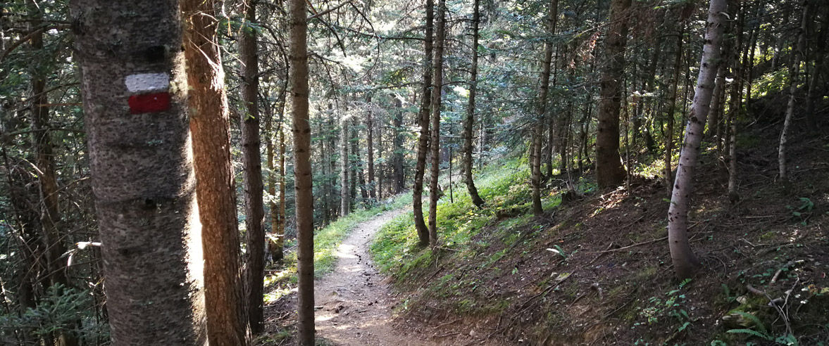
We will arrive at Llorts, crossing the road with caution, and by paved street, again following the GR, we will begin the ascent, by forest, until shortly before the Refugio de Angonella, where we will open a spectacular panorama of the summits that surround it, and we will arrive at the first one of Els Estanys de l'Angonella.

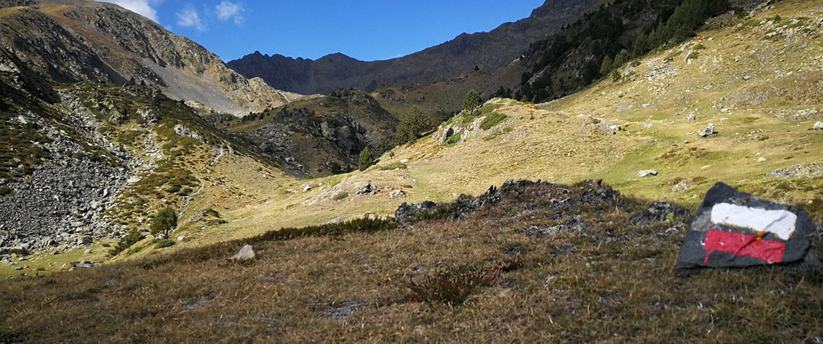
Without leaving the GR at any time, we will take off to the left of the pond, flanking the Pico de la Burna, with the vision of the neck before us, where we will arrive after a last shovel stronger.

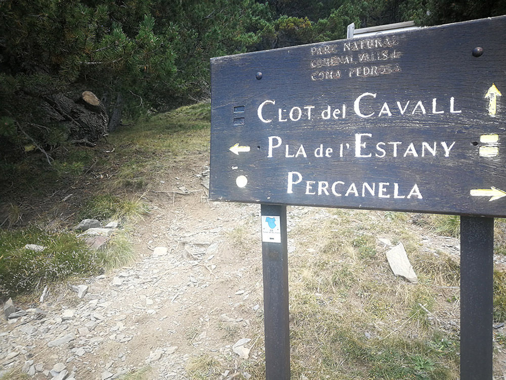
At Coll de la Burna, we will turn left and we will arrive at Pico del Clot del Cavall (2588m) and on the hill of the same name, where we turn to the right and we will start a rapid descent to Bordes dels Prats Nous, where again we will take a turn to the right to follow the GR until the Refuge of the Pla de l'Estany, crossing Collet de Font Podrida, after which we will see the refuge, but without arriving, we will turn left to start the fast last stretch down to Arinsal, where we will arrive in descent by asphalt after crossing the access tunnel.

Water: Arinsal, Arans, Llorts, Font del Moixo, different Torrents on Remover

CHIUDI
Continua a leggere

Foto

SCARICA TURISMO ATTIVO

SCARICA TURISMO ATTIVO

Scopri un gran numero di itinerari all'aria aperta, con mappe offline e una dettagliata localizzazione GPS. Programma le tue attività di montagna!
SCARICA TURISMO ATTIVO

Il più popolare di questo tema