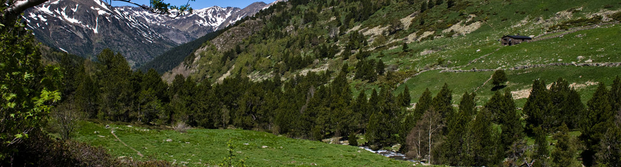
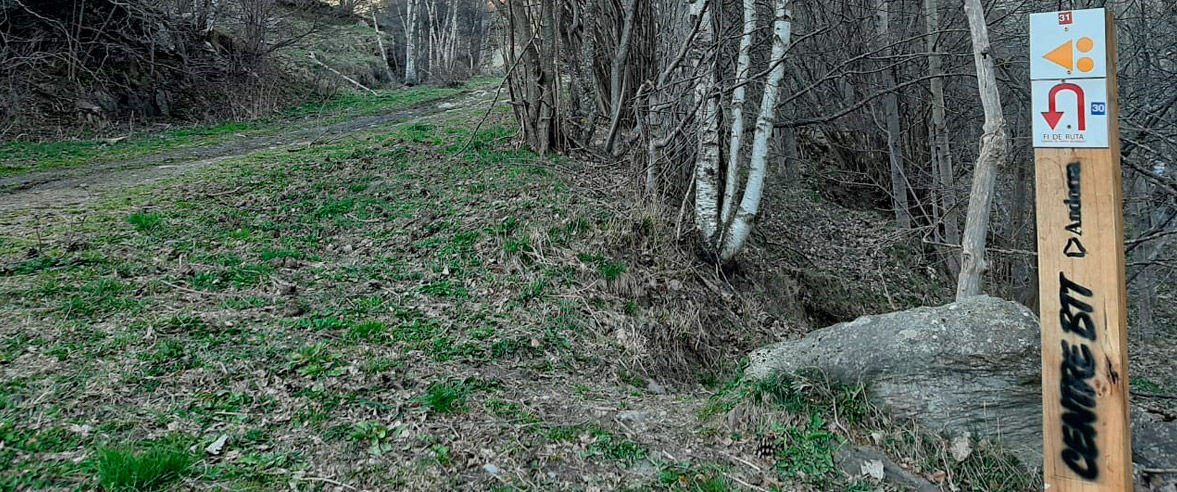
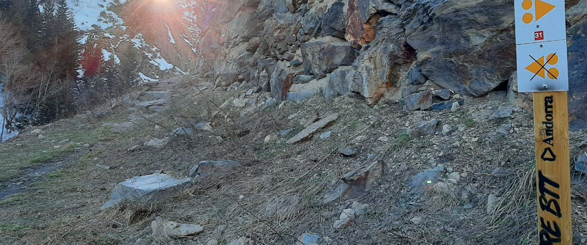
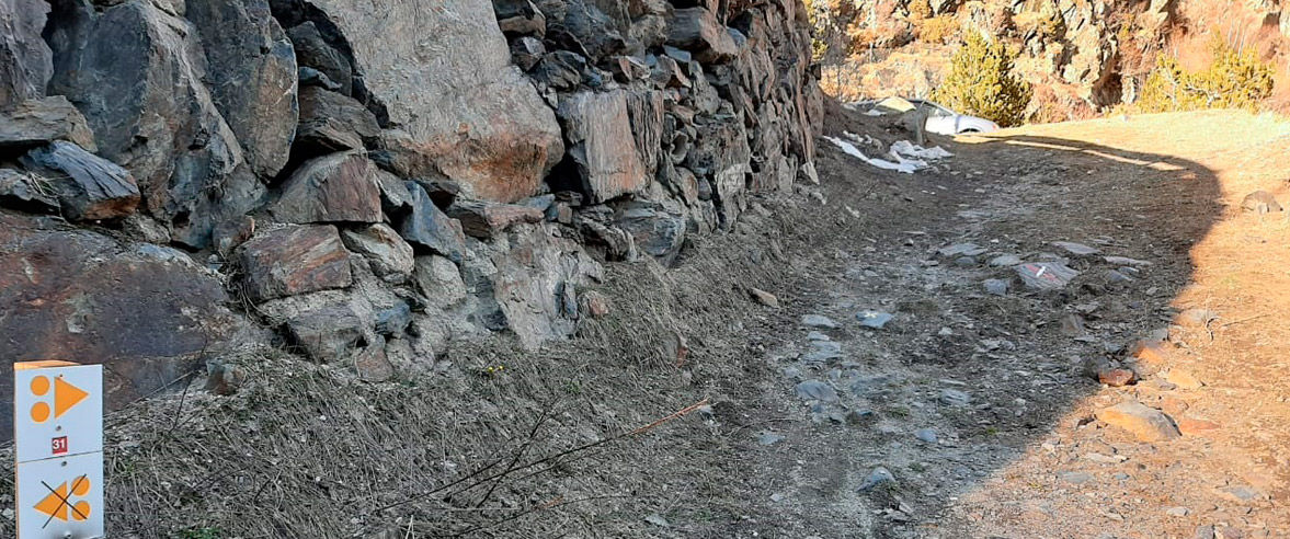
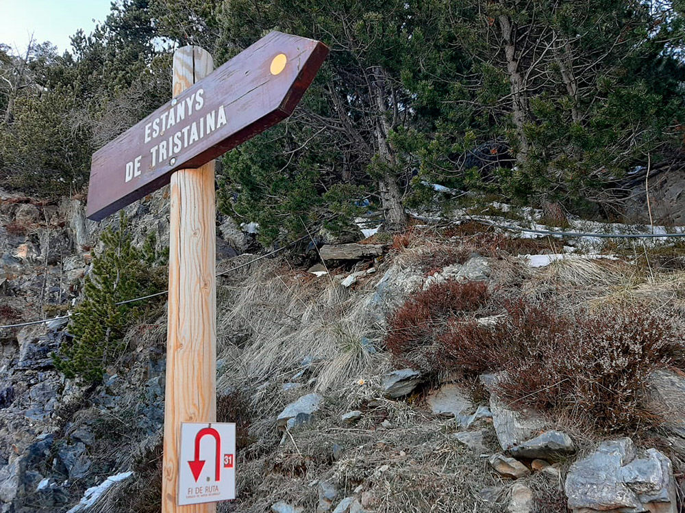
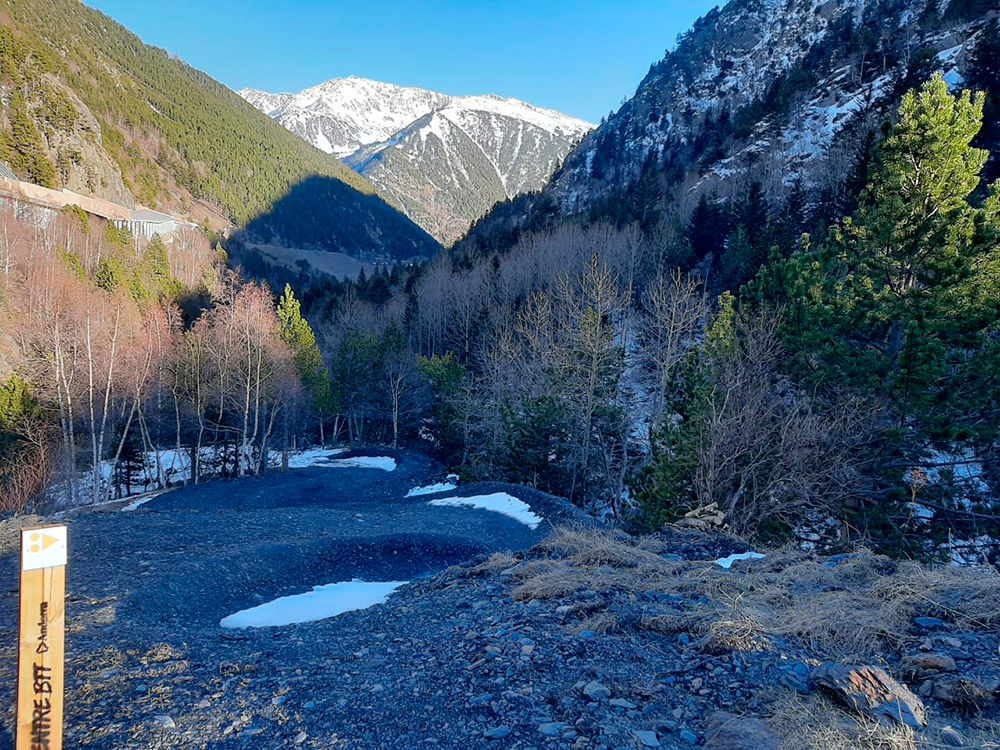
MTB Trail 31 El Serrat - Arcalís

Posizione e contatto

Ulteriori informazioni

Download the trail poster Scarica la mappa in formato PDF Scarica il percorso

Distanza

10 km

Livello

Difficile

Dislivello

+439 m / -439 m

This 10 km linear mountain bike route in Ordino with 439 m in elevation difference is of high difficulty.

The route starts in El Serrat and goes to the Ordino-Arcalís ski resort. It can be considered a continuation of mountain bike route 30, which goes from Ordino to El Serrat, located at 1,536 m of elevation.

If you started our route there (mountain bike route 30), you’ll see that it’s a familiar route to El Serrat with an easy difficulty level and not much elevation difference. From this point on it becomes a difficult route (red) that starts and ends at the same point. Although it does not have any technically complicated parts, it is demanding due to the 495 m in elevation difference over 10 km. It is therefore indicated for cyclists who have very good physical fitness.

The route starts on the Camí Ramader, where we will begin our ascent behind traditional mountain buildings and across the Tristaina River before coming out on the CG-3. After a short section on this road we come to the entrance of Camí d’Encodina, first passing by the Church of Sant Pere del Serrat, worth a stop to visit and enjoy the views of the entire Ordino Valley.

We will continue our route along Camí d'Èncodina, an ascent up a wide trail that brings us to the Planell d’Encodina. Take special caution on this uphill because, as mentioned above, this is a linear route, so we may encounter cyclists coming down the same trail.

Once on the Planell d’Encodina we can take a water break at the natural fountain, and there’s also a large picnic area for a rest stop. Once we have recovered our strength we will continue the route along a path with the Tristaina River on our left the whole time, providing spectacular scenery. We will then come to the Castellar, an area designed especially for this route. At this 200 m section with an extremely steep slope, two separate sections have been built to improve safety for cyclists crossing in both directions: a ramp for going up and banked turns for going down.

Once up the hill we will come to the CG-3 for a 100 m section before entering another dirt path, the Vella road, which takes us to the highest point and end of the route, at 1,960 m of elevation. Before arriving to this point we pass by the open shelter of Las Cabañas del Castellar and then to a large waterfall, located just before the road leading to the Arcalis ski resort, which marks the end of the route’s ascent and the turnaround point.

As mentioned above, you may encounter groups of people enjoying the mountain, either on bicycle or on foot, so we ask you to take special caution during the entire descent to El Serrat, where the route ends.

Once there we can end our ride or continue on mountain bike route 30 to the village of Ordino.

You will finish the route in 1 hour and 15 minutes. Suitable for mountain biking and E-bike.

Find more mountain bike routes and spend more time doing your favourite sport.

CHIUDI
Continua a leggere


Foto

SCARICA TURISMO ATTIVO

SCARICA TURISMO ATTIVO

Scopri un gran numero di itinerari all'aria aperta, con mappe offline e una dettagliata localizzazione GPS. Programma le tue attività di montagna!
SCARICA TURISMO ATTIVO