This trail is one of Andorra’s finest family mountain bike routes. Before we start the route explanation, we wanted to give you a general reminder to please follow the rules for a pleasant visit to the mountains.
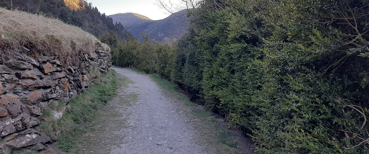
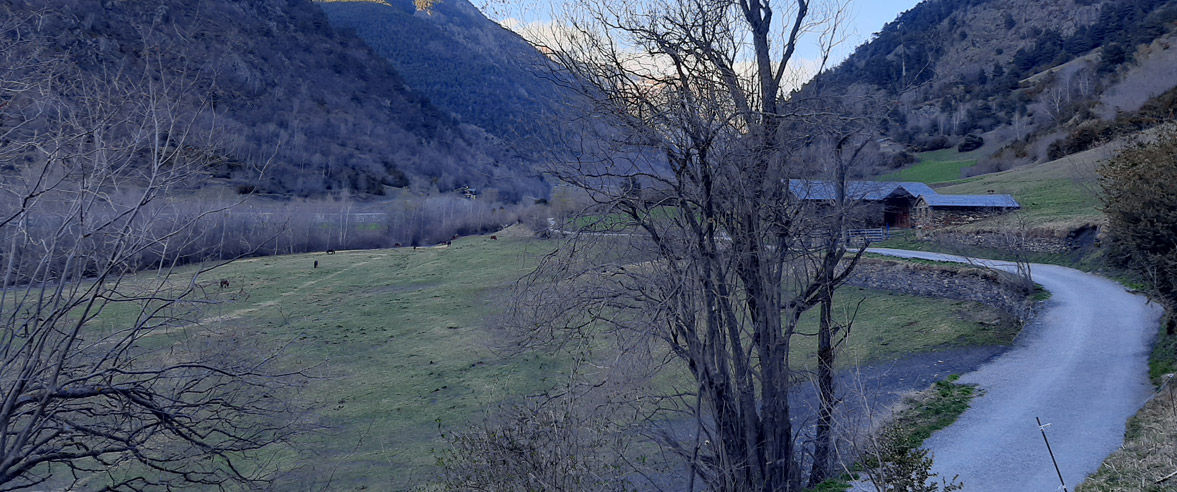
The trail starts at an altitude of 1,270 m, in front of the Casa de la Muntanya, where the Ordino Tourist Information Centre is located. A few metres away is the church of Sant Cornell i Sant Cebrà. The trail starts with a short descent along the cycle lane until you reach Sornàs. In Sornàs, take the Ral path along the river, which you’ll be sticking close to for the whole route. Between Ansalonga and Cortinada, the path crosses a number of wooden walkways that make the section easier.
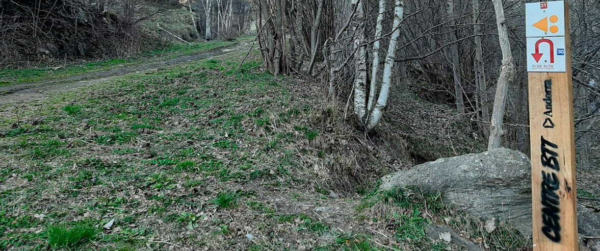
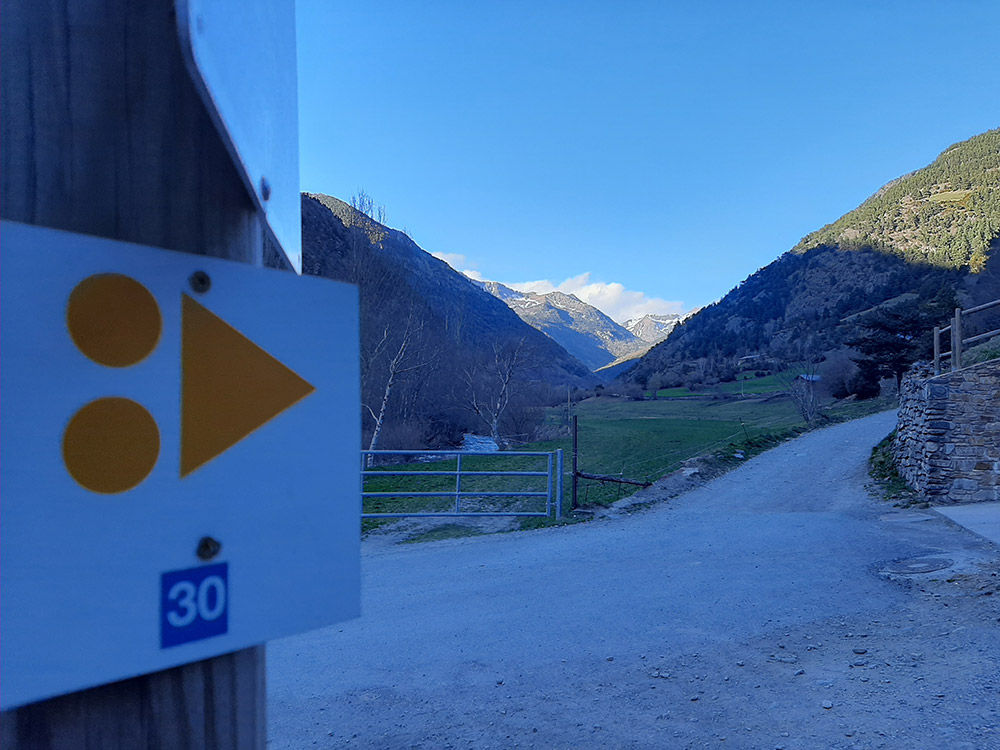
You’ll pass through small villages where you’ll need to keep an eye out for signs pointing in the right direction. In Cortinada, you need to take the road for a few metres, so be extra careful.
Once you reach Mola del Más d’en Soler, pick up the Ral path again, which will take you on to La Mina del Ferro de Llorts. Along this section there are a number of structures and monuments with facilities where you can stop to recover your strength and have a drink. When you reach La Mina del Ferro, you need to cross the road to take the Ral path again, which goes gently uphill to Les Salines. Continue along a minor road for a while, where you’ll see a perfectly preserved Romanesque bridge on the right.
Continue through the forest before reaching the most demanding part of the trail, a short climb to El Serrat, at 1,536 m and the finish point of the route. From here, you can decide whether to go back the same way or continue along another trail towards Arcalís. The latter is a little more physically and technically demanding, so it’s only recommended for more experienced cyclists who can handle the level of difficulty.
The trail takes a total of 1 hour and 45 minutes. Suitable for MTBs and e-bikes.
Find more MTB routes and enjoy more time doing your favourite sport.
CHIUDI
Continua a leggere


