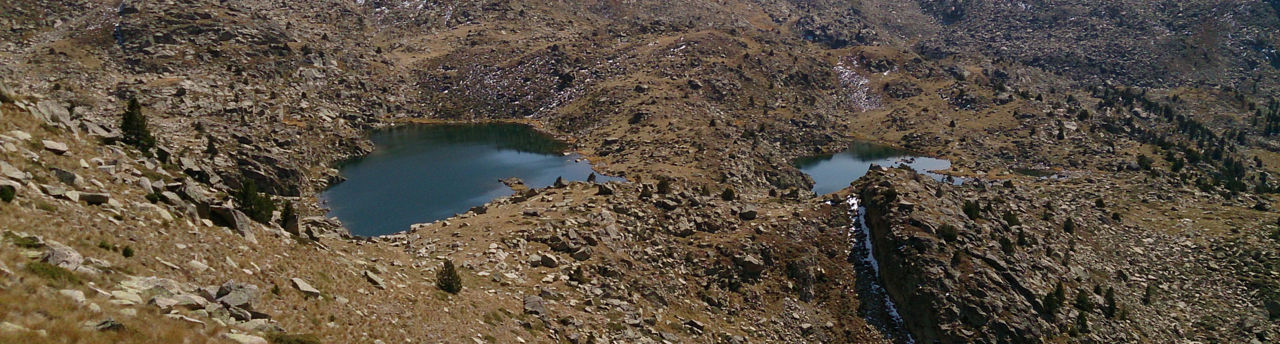
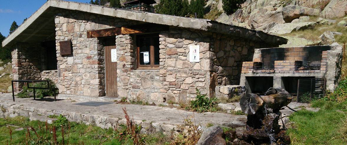
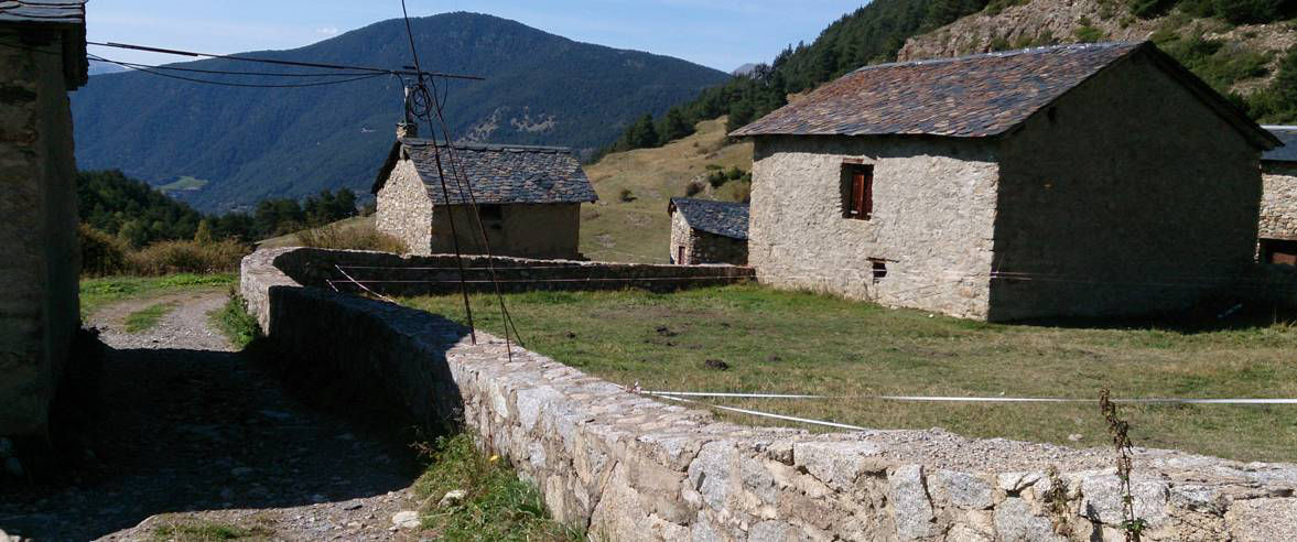
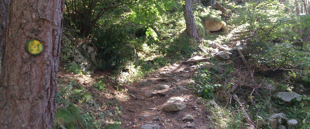
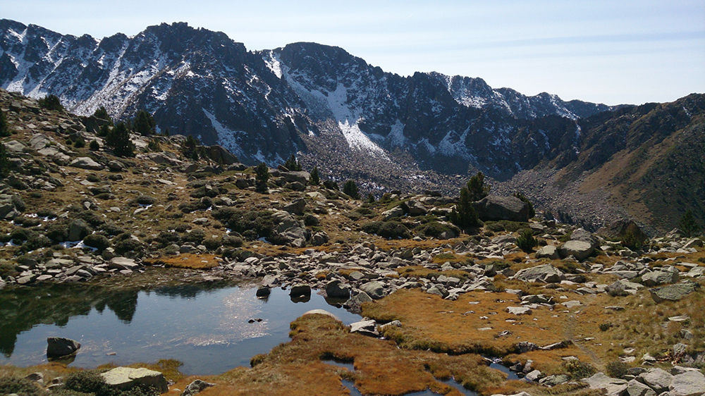
Hiking route: L'Alt del Griu

Posizione e contatto

Ulteriori informazioni

Download the guide in pdf Scarica il percorso

Distanza

5,96 km

Livello

Difficile

Dislivello

+985 m

We will start this route at km 6.2 on the CS-22 in els Cortals d’Encamp, at Borda del Tresà. The path passes through the Campeà forest, where we will follow the path to the Ensagents mountain hut, marked with three yellow spots. We climb the sunny side of Ensagents and after crossing a quarry, we reached the Ensagents hut. From here on the path is no longer indicated with yellow spots, so we have to follow the stone cairns.

We continue eastwards until a group of pines, and then northwards and we go up the side of the river to the first and second Ensagents lakes. The path then goes north west over the Entinyola mountain pass to l’Alt del Griu. From this peak we have a 360º panoramic view of the Andorran geography. We return on the same route, although there are alternative ways to go down through the Campeà forest and the Clots de l’Aspra.

The route starts at Km 6.2 on the road to els Cortals d’Encamp, in the parish of Encamp (42° 32' 6",01° 36' 51").

For your safety, we recommend you do the routes at altitudes of over 1,700 metres between the end of June and the end of September. However, if the weather and terrain conditions allow it, the season may extend from May to October.

You will find further details of this and other routes in the Hiking guide Trails of Andorra.

Foto

SCARICA TURISMO ATTIVO

SCARICA TURISMO ATTIVO

Scopri un gran numero di itinerari all'aria aperta, con mappe offline e una dettagliata localizzazione GPS. Programma le tue attività di montagna!
SCARICA TURISMO ATTIVO