The Comapedrosa Nature Park is in the north-west of the Principality of Andorra, in the parish of La Massana.
Its territory includes the Pic del Comapedrosa, Andorra’s highest peak (2,942m), which gives the park its name.
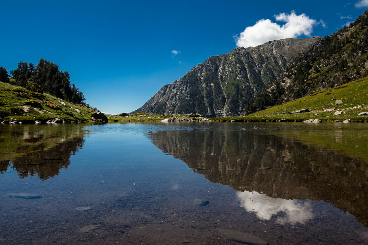
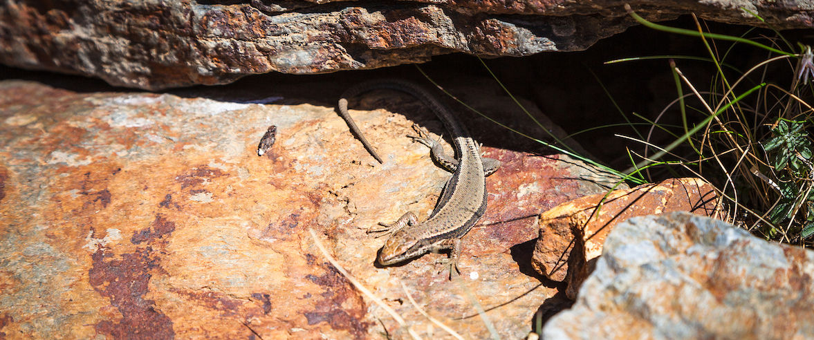
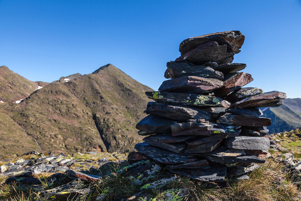
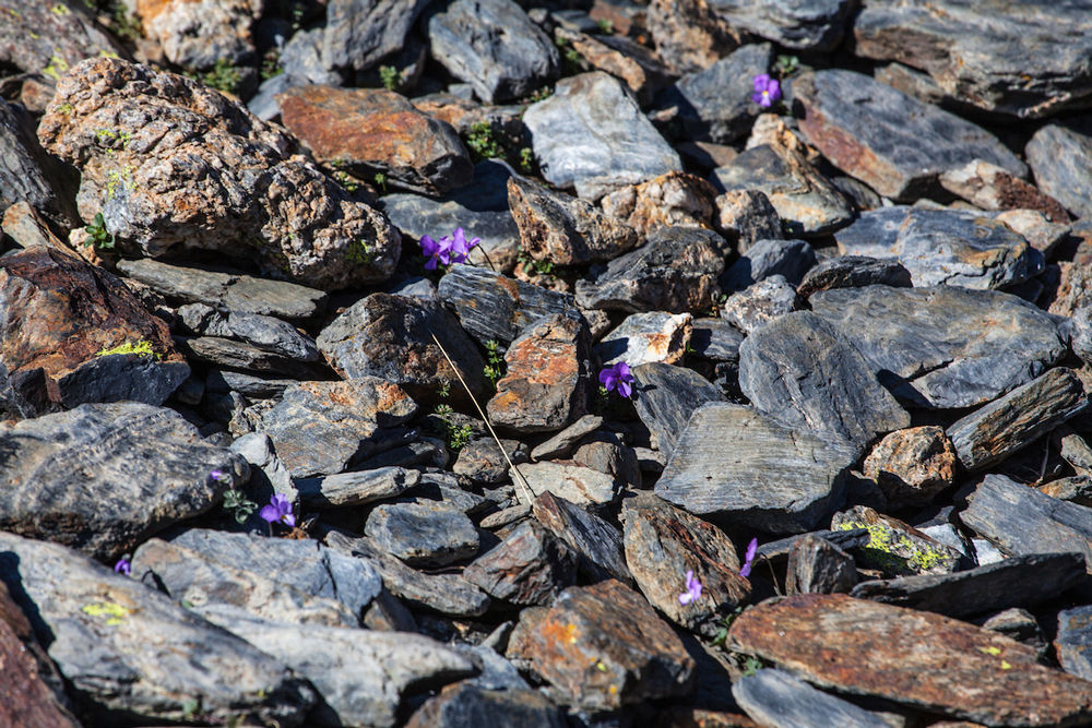
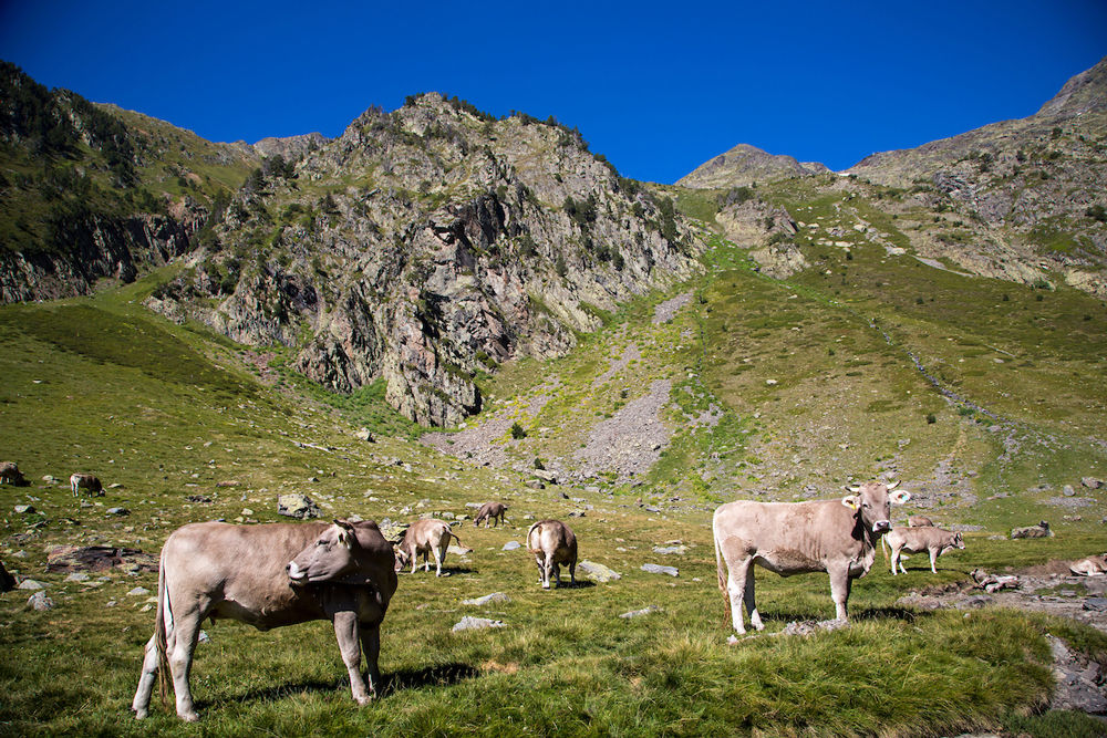
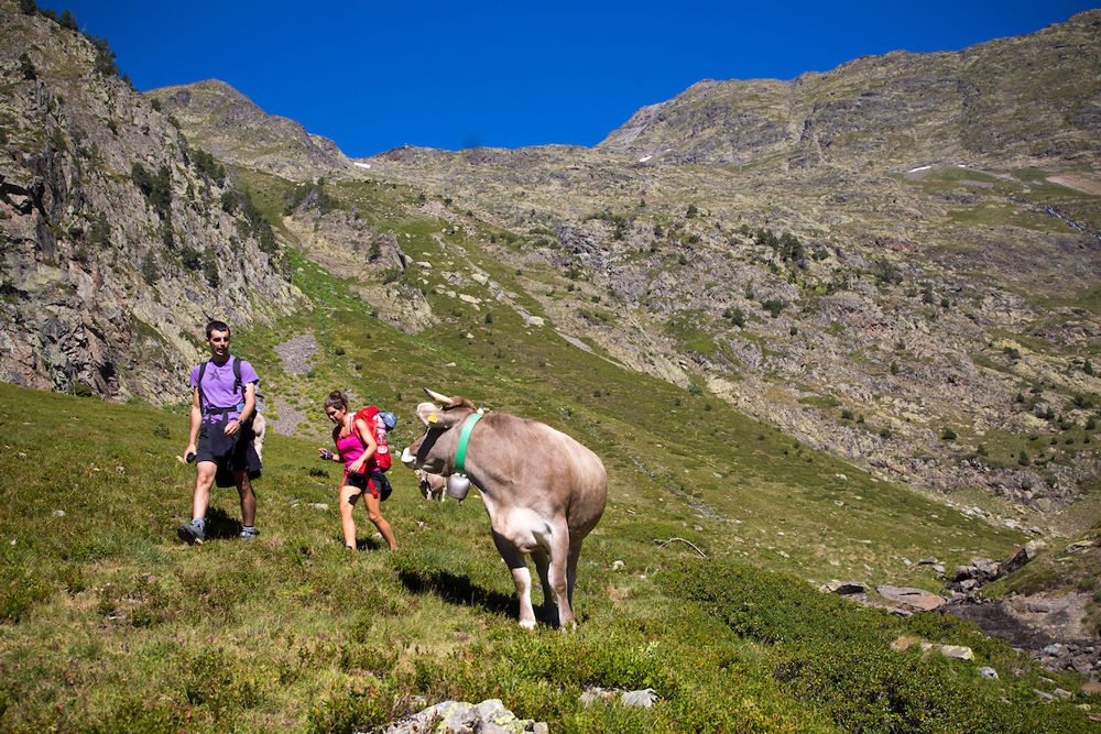
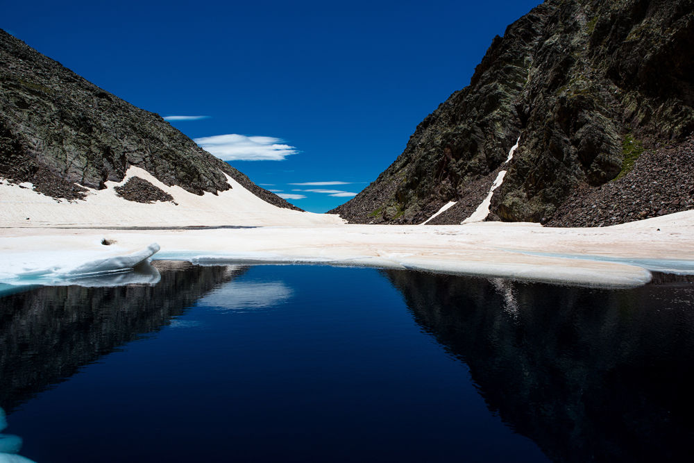
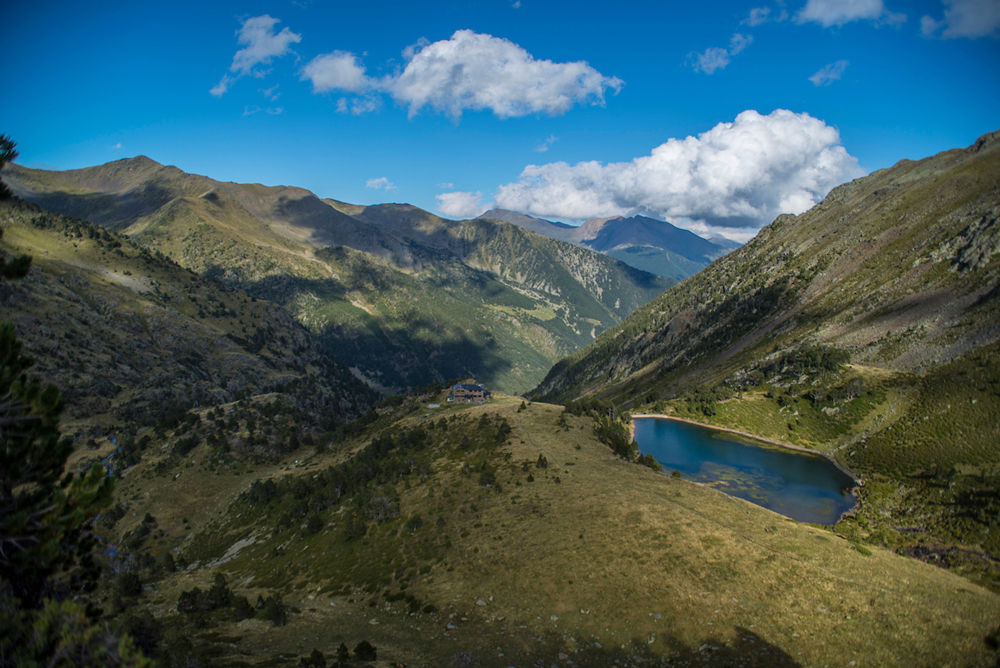
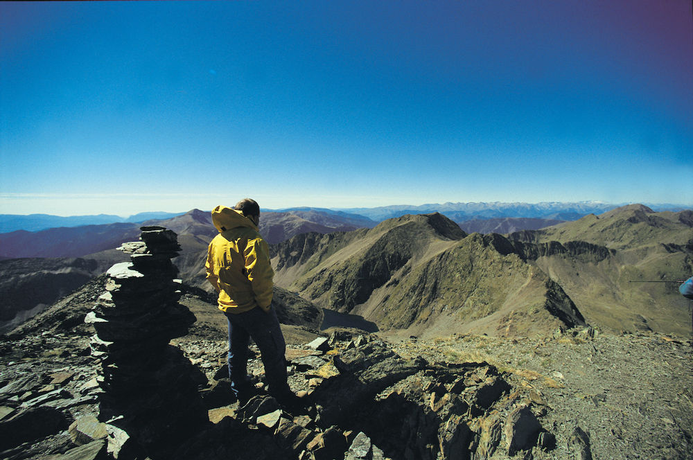
The Comapedrosa Nature Park covers a protected area of 15.42 km2. It stands out for its imposing high mountain scenery formed by forests, lakes and waterfalls. Its network of hiking routes and high mountain huts allows for a large number of excursions to contemplate the local fauna and flora.
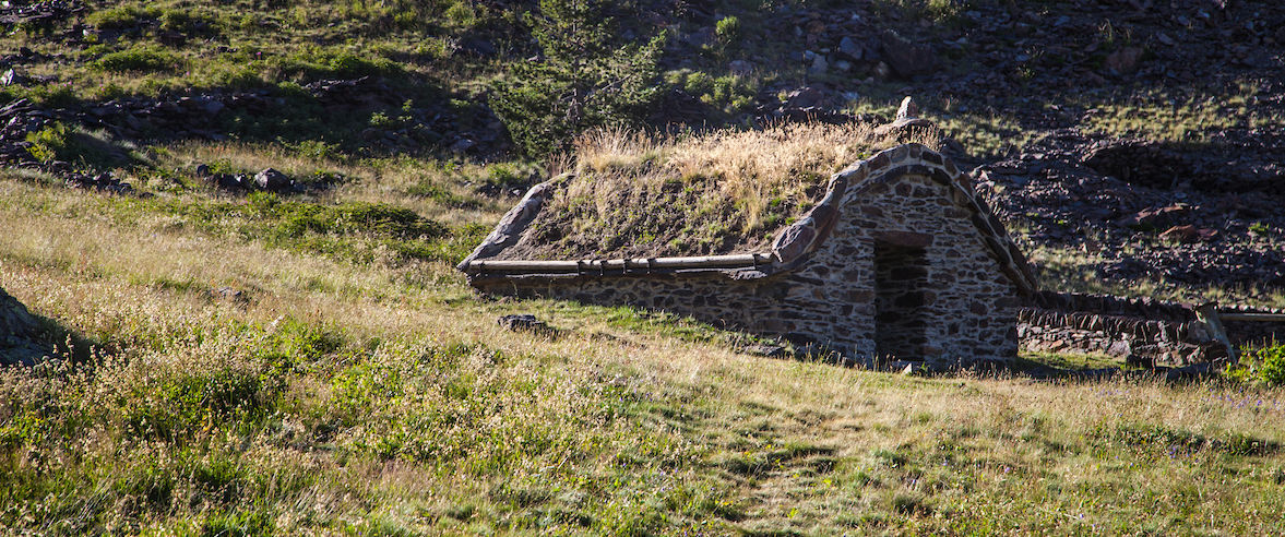
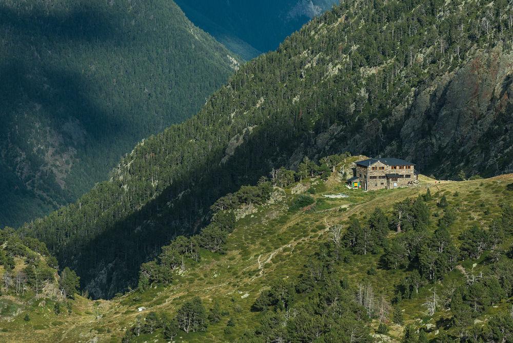
The park has an interpretative path which is apt for all ages and three huts, one of which, Comapedrosa , is guarded, and provides restaurant and lodging facilities during the summer months.
Family games area
You will also have a great time playing “Salva la Serenalla”!
This activity is held in the Natural Park’s interpretation circuit and is available throughout the year. More information is available at the Tourism Office of La Massana, or in the Park Information Center.
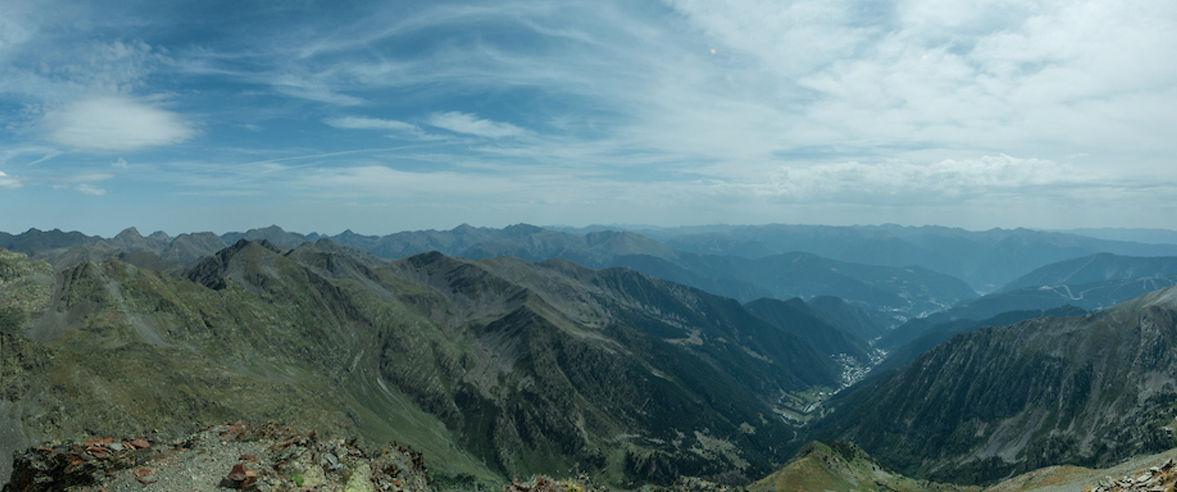
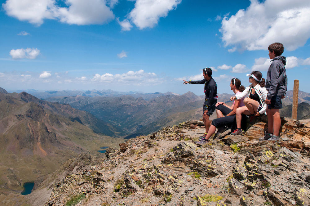
View the valley below from 1900 meters high
Comapedrosa Communal Natural Park’s viewpoints allow to take in some very impressive landscapes! For example, the viewpoint of La Roca de la Sabina, located at an altitude of almost 1900 meters high and at the foot of the Arinsal ski resort, offers spectacular views of the landscape!
The Three Nations Pyrenean Park
The Three Nations Pyrenean Park (Parc Pirinenc de les Tres Nacions) is the name of one of Europe's most extensive cross-border protected areas, between Andorra, Catalonia and France, nestled in the heart of the Pyrenees. The area comprises four natural parks: The Comapedrosa Nature Park, the Sorteny Valley Nature Park, both in Andorra, the Alt Pirineu de Catalunya Nature Park and the Pyrénées Ariégeoises Regional Nature Park. Also, don't miss out on discovering the mountain triangle, the Medacorba Peak (Pic de Medacorba), known as the peak of the Three Nations.
More information
This park is open to the public. To access this park, take the CG4 main road to Arinsal (La Massana parish). Once there, simply follow the signs to the park.